Loading...
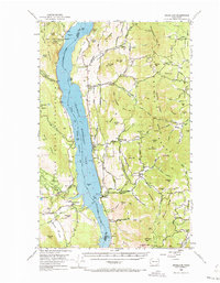
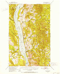
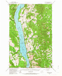
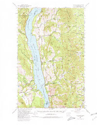
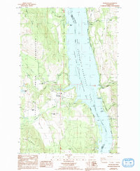
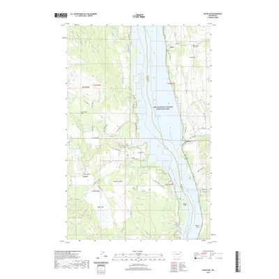
Loading map...1950 Map of Inchelium
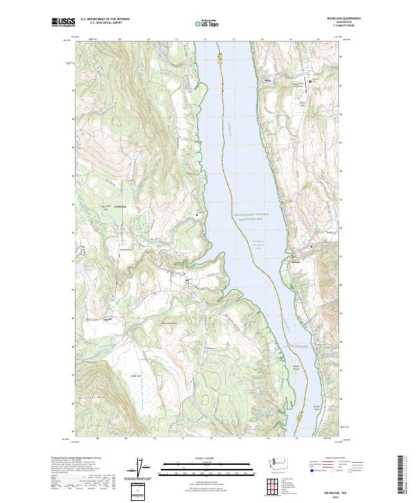
USGS Topo · Published 1973About this map
Franklin D Roosevelt Lake dominates this mid-century landscape, having transformed the Columbia River valley into the Coulee Dam National Recreational Area. The map documents the region's complex geography, where the Colville Indian Reservation Boundary meets the borders of Ferry Co and Stevens Co. Along the western shore, the Colville Indian Subagency sits near the settlement of Inchelium, while a ferry crossing connects to Gifford on the eastern bank.
Find a feature on this map
98 named features on this map. Tap any name to fly to it.
Don’t see what you’re looking for? This feature index may not catch every label — zoom into the map to look around manually.
Map Details
Date Portrayed1950
Date Published1973
PublisherU.S. Geological Survey
Map TypeTopographic
Scale1:62,500
Physical Dimensions17.1 x 22 inches
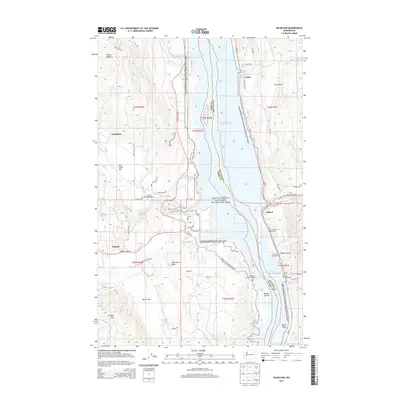
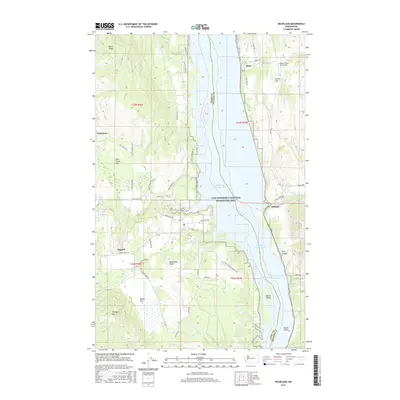
Editions of this 1950 Inchelium Map
4 editions found
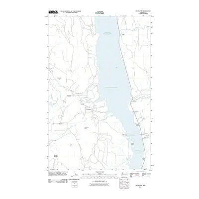
Historical Maps of Rice Through Time
7 maps found
Featured Locations
Source Details
SourceU.S. Geological Survey
CopyrightPublic Domain