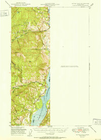
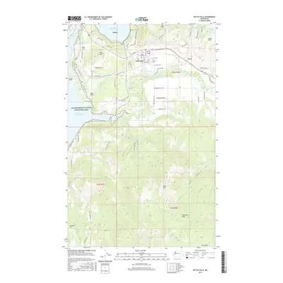
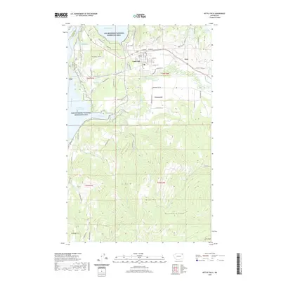
1948 Map of Kettle Falls
USGS Topo · Published 1960About this map
Franklin D Roosevelt Lake (Columbia River) dominates the eastern edge of this landscape, reflecting a post-dam era where the rising waters of the Columbia redefined the local geography. The rugged interior of the Colville National Forest is punctuated by high peaks such as Hoodoo Mtn and Bangs Mtn, with drainage provided by the network of Deadman Creek and Sherman Cr. This 1948 field check captures a transitional moment for local education and settlement; while the town of Boyds remains active with its own Boyds Sch, other landmarks like the Sherwood Sch (Aban'd) had already fallen out of use. The inclusion of several rural schoolhouses, such as Sch No 10 and Sch No 55, provides a specific record for genealogists tracing the distribution of families throughout the valleys and along Donaldson Dr.
Find a feature on this map
26 named features on this map. Tap any name to fly to it.
Don’t see what you’re looking for? This feature index may not catch every label — zoom into the map to look around manually.
Map Details
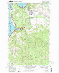
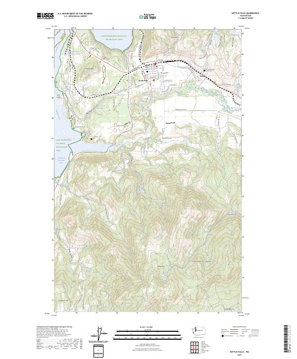
Editions of this 1948 Kettle Falls Map
This is the sole edition of this map. No revisions or reprints were ever made.
Historical Maps of Kettle Falls Through Time
8 maps found