
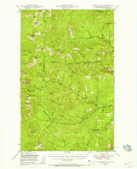
1948 Map of Orient
USGS Topo · Published 1960About this map
The Kettle River carves a deep valley through the northern reaches of Ferry and Stevens counties, serving as the primary corridor for both the Great Northern railroad and the small settlements that define this mountain borderland. Near the international boundary at the northern edge, Laurier stands as a gateway, while further south, the Orient Ranger Station and the town of Orient anchor the local community. The landscape is dominated by high peaks including McKinley Mtn and First Thought Mtn. This postwar survey captures the transition of the local economy, noting the Kettle River Mine (Aband'd) as a relic of earlier industrial efforts, while landmarks like the Barstow Sch and local Cemeteries provide essential points of reference for genealogists tracing family ties in these river-valley hamlets.
Find a feature on this map
36 named features on this map. Tap any name to fly to it.
Don’t see what you’re looking for? This feature index may not catch every label — zoom into the map to look around manually.
Map Details
Editions of this 1948 Orient Map
This is the sole edition of this map. No revisions or reprints were ever made.
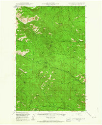
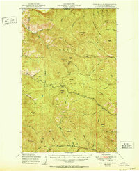
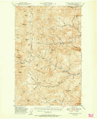
Other maps of this area

1929 · Colville
USGS Topo · 1:125,000

1933 · Colville
USGS Topo · 1:125,000

1936 · Marcus
USGS Topo · 1:96,000

1942 · Marcus
USGS Topo · 1:125,000
1948 · Sherman Peak
USGS Topo · 1:62,500

1948 · Kettle Falls
USGS Topo · 1:62,500
1948 · Togo Mountain
USGS Topo · 1:62,500
1951 · Togo Mountain
USGS Topo · 1:62,500
1951 · Sherman Peak
USGS Topo · 1:62,500

1951 · Orient
USGS Topo · 1:62,500