Old Maps of Greenwood, Washington for Genealogy
Trace your family roots with 13 historic maps of Greenwood. These high-res maps reveal old neighborhoods, homesites, landmarks, and streets — helping you uncover where your ancestors lived and how the area evolved over time.
- Explore historic neighborhoods: Identify where your relatives may have lived in the 1800s or 1900s.
- Compare maps over time: Trace the changes in streets, buildings, and landmarks for multi-generational research.
- Perfect for genealogy & ancestry research: Used by family historians and researchers to map out lineage and migration.
These maps are an incredible resource for exploring your personal connection to Greenwood's past.
Greenwood, WA maps
(13)- 1941 Map of Ford
 1941 Ford1941 Print · USGSGrays Harbor County at the brink of the Second World War shows a river valley shaped by logging and rail transit. Genealogists and historians can trace the early footprints of Malone, Cedarville, and Saginaw along the banks of the Chehalis River.2 unique versions available
 - 1953 Map of Hoquiam
 1953 Hoquiam1953 Print · USGSSouthwest Washington in the early fifties shows a landscape shaped by timber, rail, and river commerce from the coast to the Cascades. Genealogists and historians can trace the development of timber towns like Ryderwood and the industrial hubs of Hoquiam and Kelso.2 unique versions available
 - 1953 Map of Malone, 1955 Print
 1953 Malone1955 Print · USGSThe Chehalis River valley was a bustling rail corridor in the mid-1950s, supporting timber towns and riverside communities. Genealogists and historians can trace rail stops at Malone and Porter, find the Sharon Cem, or locate the North River Consolidated Sch.3 unique versions available
 - 1957 Map of Hoquiam
 1957 Hoquiam1957 Print · USGSCoastal timber ports and inland rail hubs define Southwest Washington during the late fifties. Genealogists can trace early twentieth-century settlements like Bordeaux, Tono, and Cosmopolis alongside the expanding tracks of the Northern Pacific.
 - 1958 Map of Hoquiam, 1969 Print
 1958 Hoquiam1969 Print · USGSSouthwest Washington and the Columbia River estuary appear here in the mid-century, before major landscape shifts. Researchers can trace the rail lines of the Northern Pacific, locate the Fort Henness Site, or explore the Naselle Air Force Station.2 unique versions available
 - 1962 Map of Hoquiam
 1962 Hoquiam1962 Print · USGSSouthwest Washington in the late fifties is defined by the bustling timber ports of Hoquiam and the rail-linked commerce of the interior valleys. Genealogists and historians can trace the early footprints of settlements like Raymond and Pe Ell, or locate family sites at Grand Mound Cem and Odd Fellows Cem.
 - 1986 Map of Malone
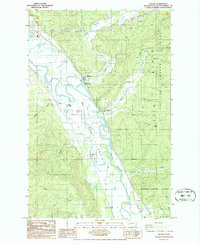 1986 Malone1986 Print · USGSGrays Harbor County’s river-bottom lands and timbered ridges are captured here during the mid-1980s. Local researchers can trace the rural communities of Malone and Porter, find the Cem on the valley floor, and explore the heights of the Black Hills.2 unique versions available
 - 1992 Map of Chehalis River, 1993 Print
 1992 Chehalis River1993 Print · USGSThe Chehalis River valley and the timberlands of the Black Hills are captured here in the early nineties. Researchers can trace rail-and-river history through Montesano and Raymond, or locate the unique Mima Mounds and Bordeaux.2 unique versions available
 - 2011 Map of Malone, 2011 Print
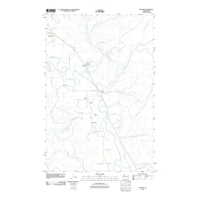 2011 Malone2011 Print · USGSGrays Harbor County at the start of the 2010s shows a landscape of river-bottom prairies and timbered hills along the Chehalis River. Genealogists and local historians can locate the Sharon Cemetery, Sharon Grange, and the tiny settlement of Lankner among the creek valleys.
 - 2014 Map of Malone, 2014 Print
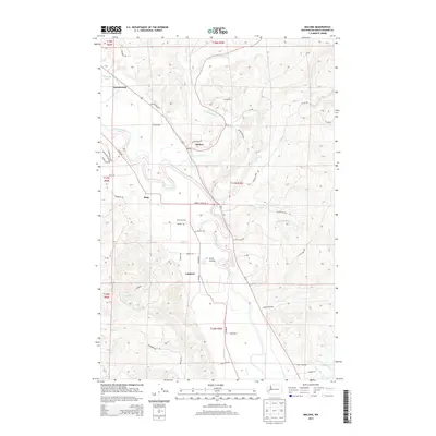 2014 Malone2014 Print · USGSGrays Harbor County timber country and river bottomlands are captured here in the mid-2010s. Genealogists and local historians can trace family ties at Sharon Cem or locate the sites of Malone, Rony, and the Sharon Grange along the Chehalis River.
 - 2017 Map of Malone, 2017 Print
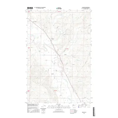 2017 Malone2017 Print · USGSThe Chehalis River valley in the late 2010s reveals a landscape of small river towns and upland timber roads. Genealogists and local historians can trace family ties at Sharon Cem or locate old community centers like Malone, Porter, and Greenwood.
 - 2020 Map of Malone, 2020 Print
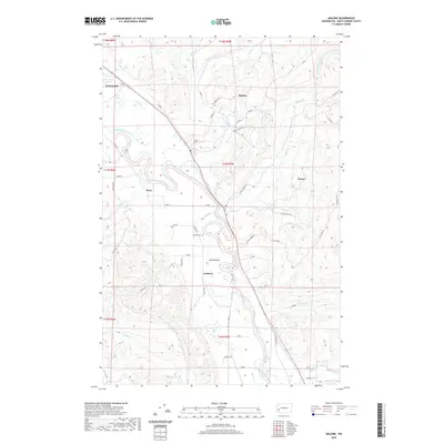 2020 Malone2020 Print · USGSGrays Harbor County’s river-bottom lands and timbered hills are shown here in the contemporary era. Genealogists and local historians can locate Sharon Cem and trace old valley settlements like Malone, Porter, and Ford Prairie along the Chehalis River.
 - 2023 Map of Malone, 2023 Print
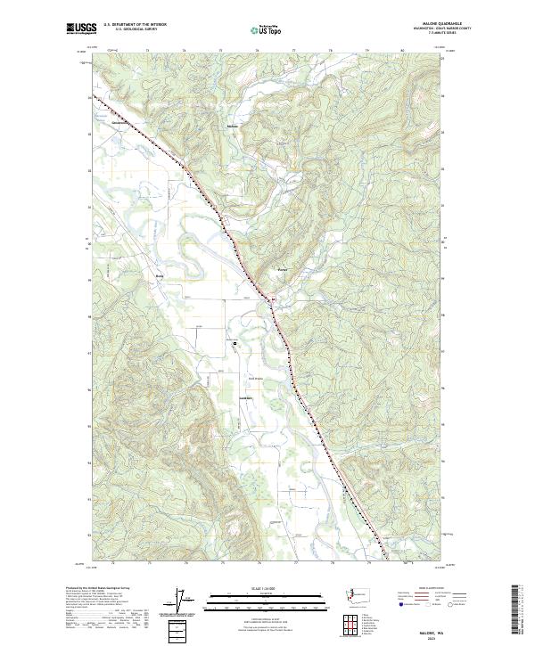 2023 Malone2023 Print · USGSThe Chehalis River valley in western Washington is shown here during a period of modern stability for its historic river towns. Local researchers can trace the roads and properties around Malone, Porter, and Sharon Cem, or explore the drainages of Mox Chehalis Creek and Eaton Creek.
End of results
Showing maps 1-13 of 13
Top cities near Greenwood
- Shelton historical maps
- Montesano historical maps
- Elma historical maps
- McCleary historical maps
- Oakville historical maps
Frequently asked questions
- What are the different types of historical maps available for Greenwood?
- What is the oldest map of Greenwood?
- Where can I purchase historical maps of Greenwood for my home or office?
- Where can I download high-res historical maps of Greenwood?
- Are there historical topographic maps available for Greenwood?
- Is there historical aerial imagery available for Greenwood?
- Where are historical maps of Greenwood sourced from?