Old Maps of Weikswood, Washington for Metal Detecting
Plan your next treasure hunt with 13 historic maps of Weikswood. Find old homesites, ghost towns, trails, and gathering spots that may be lost to time — perfect for identifying promising metal detecting locations.
- Locate forgotten sites: Uncover places like long-lost settlements, abandoned rail lines, or gathering spots.
- Plan better hunts: Use map overlays combined with LiDAR or satellite views to narrow in on historically rich areas.
- Made for detectorists: Thousands of hobbyists use these maps to discover relics, coins, and hidden history.
Use these historic maps to boost your research and find new opportunities beneath the surface of Weikswood.
Weikswood, WA maps
(13)- 1941 Map of Ford
 1941 Ford1941 Print · USGSGrays Harbor County at the brink of the Second World War shows a river valley shaped by logging and rail transit. Genealogists and historians can trace the early footprints of Malone, Cedarville, and Saginaw along the banks of the Chehalis River.2 unique versions available
 - 1953 Map of Hoquiam
 1953 Hoquiam1953 Print · USGSSouthwest Washington in the early fifties shows a landscape shaped by timber, rail, and river commerce from the coast to the Cascades. Genealogists and historians can trace the development of timber towns like Ryderwood and the industrial hubs of Hoquiam and Kelso.2 unique versions available
 - 1953 Map of Malone, 1955 Print
 1953 Malone1955 Print · USGSThe Chehalis River valley was a bustling rail corridor in the mid-1950s, supporting timber towns and riverside communities. Genealogists and historians can trace rail stops at Malone and Porter, find the Sharon Cem, or locate the North River Consolidated Sch.3 unique versions available
 - 1957 Map of Hoquiam
 1957 Hoquiam1957 Print · USGSCoastal timber ports and inland rail hubs define Southwest Washington during the late fifties. Genealogists can trace early twentieth-century settlements like Bordeaux, Tono, and Cosmopolis alongside the expanding tracks of the Northern Pacific.
 - 1958 Map of Hoquiam, 1969 Print
 1958 Hoquiam1969 Print · USGSSouthwest Washington and the Columbia River estuary appear here in the mid-century, before major landscape shifts. Researchers can trace the rail lines of the Northern Pacific, locate the Fort Henness Site, or explore the Naselle Air Force Station.2 unique versions available
 - 1962 Map of Hoquiam
 1962 Hoquiam1962 Print · USGSSouthwest Washington in the late fifties is defined by the bustling timber ports of Hoquiam and the rail-linked commerce of the interior valleys. Genealogists and historians can trace the early footprints of settlements like Raymond and Pe Ell, or locate family sites at Grand Mound Cem and Odd Fellows Cem.
 - 1986 Map of South Elma
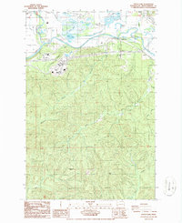 1986 South Elma1986 Print · USGSGrays Harbor County’s river valleys and timbered highlands are captured in the mid-1980s, showcasing the agricultural and industrial landscape south of the Chehalis. Researchers can trace historic locations like Weikswood or find local landmarks such as Saginaw, Fuller, and the Bay Scout Camp.2 unique versions available
 - 1992 Map of Chehalis River, 1993 Print
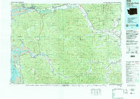 1992 Chehalis River1993 Print · USGSThe Chehalis River valley and the timberlands of the Black Hills are captured here in the early nineties. Researchers can trace rail-and-river history through Montesano and Raymond, or locate the unique Mima Mounds and Bordeaux.2 unique versions available
 - 2011 Map of South Elma, 2011 Print
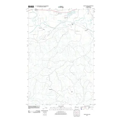 2011 South Elma2011 Print · USGSThe Chehalis River valley south of Elma comes into focus in the early 2010s, showing a landscape of small settlements and local aviation. Researchers can trace rural developments at Saginaw and Weikswood or locate landmarks like Minot Peak and the Satsop River Bridge.
 - 2014 Map of South Elma, 2014 Print
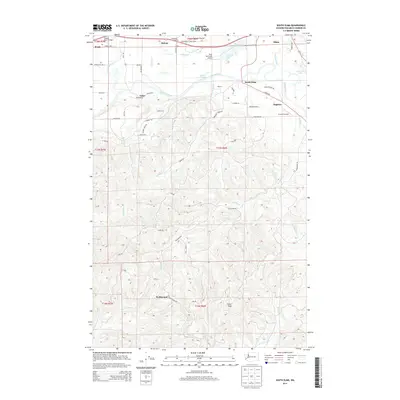 2014 South Elma2014 Print · USGSGrays Harbor County at the turn of the decade shows the enduring intersection of the Chehalis River timber economy and regional aviation. Researchers can trace historic settlements like Saginaw and Weikswood or locate family landmarks along TAYLOR FERRY RD and WENZEL SLOUGH RD.
 - 2017 Map of South Elma, 2017 Print
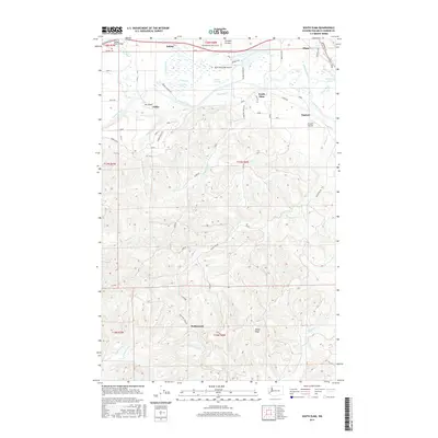 2017 South Elma2017 Print · USGSThe Chehalis River valley south of Elma comes into sharp focus during the mid-2010s, revealing a landscape of lowland prairies and upland timber. Researchers can trace the network of forest roads and small communities like Satsop, Weikswood, and Fuller along with local landmarks like the Satsop River Bridge.
 - 2020 Map of South Elma, 2020 Print
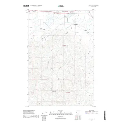 2020 South Elma2020 Print · USGSThe Chehalis River valley south of Elma comes into focus during this recent era of land management and rural aviation. Researchers can trace the river's winding path past South Elma and Saginaw, or locate landmarks like Minot Peak and Huttula Lake.
 - 2023 Map of South Elma, 2023 Print
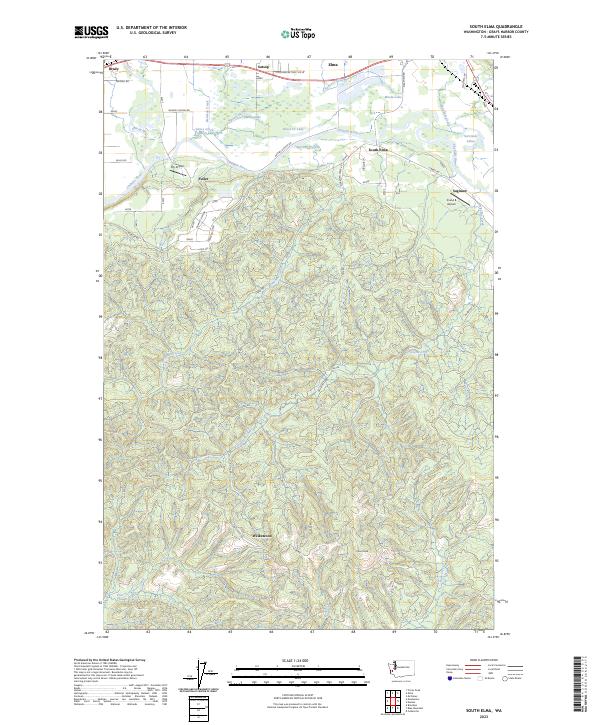 2023 South Elma2023 Print · USGSThe Chehalis River valley south of Elma comes into focus here in the early twenty-first century. Researchers can trace the drainages of Delezene Creek and Workman Creek or locate local landmarks like Saginaw and My Airport.
End of results
Showing maps 1-13 of 13
Top cities near Weikswood
Frequently asked questions
- What are the different types of historical maps available for Weikswood?
- What is the oldest map of Weikswood?
- Where can I purchase historical maps of Weikswood for my home or office?
- Where can I download high-res historical maps of Weikswood?
- Are there historical topographic maps available for Weikswood?
- Is there historical aerial imagery available for Weikswood?
- Where are historical maps of Weikswood sourced from?