Old Maps of Baby Island Heights, Washington
Explore 11 old maps of Baby Island Heights, spanning from 1939 to today. These high-resolution historic maps reveal how streets, neighborhoods, landmarks, and natural features evolved over time — perfect for genealogy, metal detecting, research, and local history exploration.
What you can do with these maps:
- See how Baby Island Heights changed over time: Compare historical maps to modern-day views to trace roads, homesites, rail lines & more.
- View detailed metadata: Each map includes creators, publishers, year, scale, and archive source.
- Overlay maps with satellite & LiDAR: Visualize the past alongside modern tools to explore terrain & human change.
- Trusted historical sources: Maps sourced from the USGS, Library of Congress, and other archives.
- Access maps your way: View online, download high-res files, or order prints for personal or research use.
Start exploring old maps of Baby Island Heights to uncover forgotten places, hidden landmarks, and the deep history beneath your feet.
Baby Island Heights, WA maps
(11)- 1939 Map of Coupeville
 1939 Coupeville1939 Print · USGSWhidbey and Marrowstone Islands are captured in the late 1930s when military forts and ferry lines still dictated the rhythm of Puget Sound. Researchers can trace the grounds of Fort Casey, locate the Island County Courthouse, and find vanished coastal landmarks like Pratts Resort.
 - 1953 Map of Freeland, 1955 Print
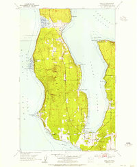 1953 Freeland1955 Print · USGSWhidbey Island in the early fifties shows a transition from rural homesteads to established coastal communities along Holmes Harbor. You can trace the maritime footprint of Bush Point and its Lighthouse or locate family sites near Freeland and Honeymoon Bay.6 unique versions available
 - 1957 Map of Victoria, 1960 Print
 1957 Victoria1960 Print · USGSThe San Juan Islands and the North Cascades coastline are shown in detail during the late fifties, a period of significant military and industrial presence. Researchers can trace historic rail lines like the Great Northern or locate sites such as the Whidbey Island Naval Air Sta and Friday Harbor.4 unique versions available
 - 1975 Map of Port Townsend, 1977 Print
 1975 Port Townsend1977 Print · USGSThe northern Puget Sound in the mid-seventies shows a landscape of military readiness and maritime industry. Researchers can trace the extensive Whidbey Island Naval Air Station or locate historic coastal defenses at Fort Casey Military Res and Fort Ebey Military Res.
 - 1993 Map of Port Townsend
 1993 Port Townsend1993 Print · USGSThe Puget Sound and Whidbey Island are captured in the early nineties, showing a landscape defined by naval aviation and maritime trade. Genealogists and local historians can trace the development of Oak Harbor and Coupeville or locate family sites near the Arlington Municipal Cemetery and Ault Field.
 - 1998 Map of Freeland, 2003 Print
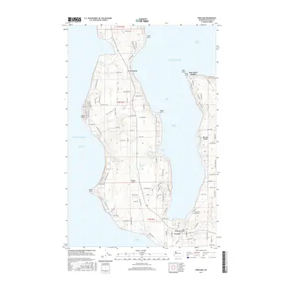
 1998 Freeland2003 Print · USGSWhidbey Island's central coast near the close of the century shows a unique mix of naval operations and seaside communities. Trace the shoreline from the Bush Point Lighthouse to the Lake Hancock Target Range or the quiet roads of Greenbank.
 - 2011 Map of Freeland, 2011 Print
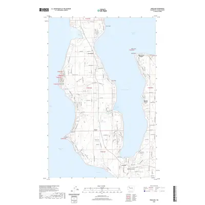
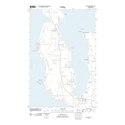 2011 Freeland2011 Print · USGSCovers Baby Island Heights, including Freeland, Greenbank, and other nearby areas
 - 2014 Map of Freeland, 2014 Print
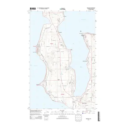 2014 Freeland2014 Print · USGSCovers Baby Island Heights, including Freeland, Greenbank, and other nearby areas
 - 2017 Map of Freeland, 2017 Print
 2017 Freeland2017 Print · USGSCovers Baby Island Heights, including Freeland, Greenbank, and other nearby areas
 - 2020 Map of Freeland, 2020 Print
 2020 Freeland2020 Print · USGSCovers Baby Island Heights, including Freeland, Greenbank, and other nearby areas
 - 2023 Map of Freeland, 2023 Print
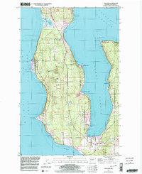
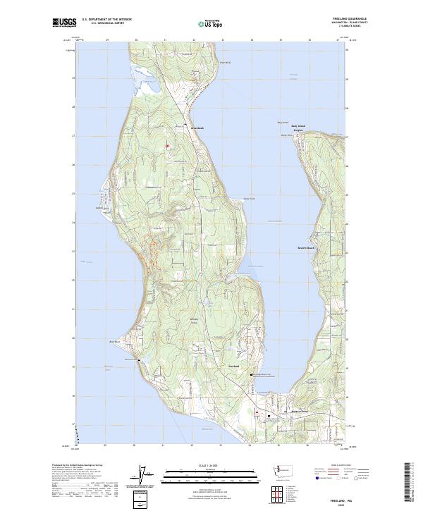 2023 Freeland2023 Print · USGSWhidbey Island’s rugged coastline and modern settlements are mapped here in the early twenty-first century, showing the area's maritime character. Genealogists and locals can trace family sites at Bush Point Cem or explore the harborfronts at Harbor Center and Greenbank.
End of results
Showing maps 1-11 of 11
Top cities near Baby Island Heights
- Oak Harbor historical maps
- Mukilteo historical maps
- Stanwood historical maps
- Hansville historical maps
- Warm Beach historical maps
- Port Ludlow historical maps
See more
Frequently asked questions
- What are the different types of historical maps available for Baby Island Heights?
- What is the oldest map of Baby Island Heights?
- Where can I purchase historical maps of Baby Island Heights for my home or office?
- Where can I download high-res historical maps of Baby Island Heights?
- Are there historical topographic maps available for Baby Island Heights?
- Is there historical aerial imagery available for Baby Island Heights?
- Where are historical maps of Baby Island Heights sourced from?