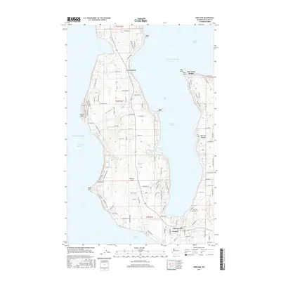
2017 Map of Freeland
USGS Topo · Published 2017About this map
Whidbey Island is defined by a deep indentation where Holmes Harbor nearly bisects the landmass, creating a distinct coastal geography of protected bays and prominent bluffs. The commercial and social hub centered around Freeland and Harbor Center sits at the base of this harbor, while residential developments like Beverly Beach and Baby Island Heights line the eastern shore. To the north, the settlement of Greenbank marks a narrower section of the island, bordered by the steep Pratts Bluff.
Find a feature on this map
104 named features on this map. Tap any name to fly to it.
Don’t see what you’re looking for? This feature index may not catch every label — zoom into the map to look around manually.
Map Details
Editions of this 2017 Freeland Map
This is the sole edition of this map. No revisions or reprints were ever made.
Other maps of this area

1895 · Snohomish
USGS Topo · 1:125,000

1897 · Seattle
USGS Topo · 1:125,000

1911 · Mount Vernon
USGS Topo · 1:125,000
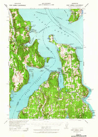
1937 · Port Gamble
USGS Topo · 1:62,500
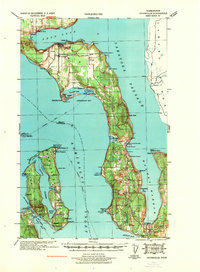
1939 · Coupeville
USGS Topo · 1:62,500
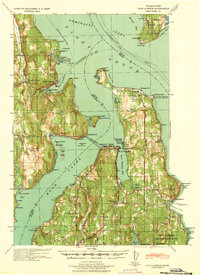
1940 · Port Gamble
USGS Topo · 1:62,500
1942 · Edmonds
USGS Topo · 1:62,500
1943 · Stanwood
USGS Topo · 1:62,500
1953 · Hansville
USGS Topo · 1:24,000
1953 · Coupeville
USGS Topo · 1:24,000