
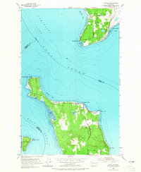
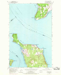
1953 Map of Hansville
USGS Topo · Published 1954About this map
Hansville occupies the northernmost tip of the Kitsap Peninsula, appearing here in the early 1950s as a quiet coastal community defined by its proximity to the lighthouse at Point No Point. The map captures the complex maritime geography where Puget Sound, Admiralty Inlet, and Hood Canal converge. Across the water, the southern tip of Whidbey Island shows the small settlement of Austin and the expansive Mutiny Bay. This survey reflects an era of local navigation and land use prior to extensive modern development, highlighting rural details such as Buck Lake, a local cemetery, and the prominent sand spits of Double Bluff and Foulweather Bluff. The presence of several distinct maritime markers, including Norwegian Point and Point Hannon, illustrates the strategic importance of this coastline for vessel traffic entering the Puget Sound through the Admiralty Inlet corridor.
Find a feature on this map
27 named features on this map. Tap any name to fly to it.
Don’t see what you’re looking for? This feature index may not catch every label — zoom into the map to look around manually.
Map Details
Editions of this 1953 Hansville Map
3 editions found
Other maps of this area

1895 · Snohomish
USGS Topo · 1:125,000

1897 · Seattle
USGS Topo · 1:125,000

1911 · Mount Vernon
USGS Topo · 1:125,000

1937 · Port Gamble
USGS Topo · 1:62,500

1939 · Coupeville
USGS Topo · 1:62,500

1940 · Port Gamble
USGS Topo · 1:62,500

1942 · Edmonds
USGS Topo · 1:62,500

1943 · Stanwood
USGS Topo · 1:62,500

1953 · Freeland
USGS Topo · 1:24,000
1953 · Port Gamble
USGS Topo · 1:24,000