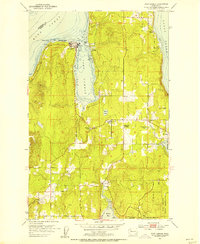
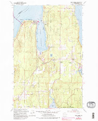
1953 Map of Port Gamble
USGS Topo · Published 1955About this map
The sawmill at Port Gamble anchors this mid-century survey of the northern Kitsap Peninsula, reflecting the industrial character of a community built around timber. Along the shores of Hood Canal and Puget Sound, the map reveals a maritime landscape where Point Julia and Teekalet Bluff overlook the water. The Port Madison Indian Reservation is prominently marked, encompassing the settlement of Little Boston. Inland, rural life is defined by small clusters like Striebels Corner and the community center at the Kingston Grange. Local landmarks including the Wolfe School and several cemeteries provide essential coordinates for genealogists. The road network, including Lincoln Road, connects the coastal towns of Kingston, Eglon, and Indianola, showing the area's development before the rapid expansion of modern suburbs.
Find a feature on this map
25 named features on this map. Tap any name to fly to it.
Don’t see what you’re looking for? This feature index may not catch every label — zoom into the map to look around manually.
Map Details
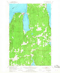
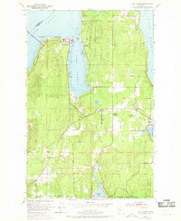
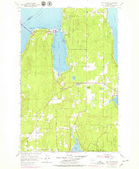
Editions of this 1953 Port Gamble Map
5 editions found
Other maps of this area

1894 · Seattle
USGS Topo · 1:62,500

1895 · Snohomish
USGS Topo · 1:125,000

1897 · Seattle
USGS Topo · 1:125,000

1908 · Seattle
USGS Topo · 1:62,500

1909 · Seattle Special
USGS Topo · 1:62,500

1937 · Port Orchard
USGS Topo · 1:62,500

1937 · Port Gamble
USGS Topo · 1:62,500

1940 · Port Gamble
USGS Topo · 1:62,500

1942 · Edmonds
USGS Topo · 1:62,500

1949 · Shilshole Bay
USGS Topo · 1:24,000