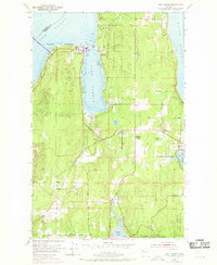
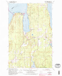
1953 Map of Port Gamble
USGS Topo · Published 1969About this map
The timber and maritime heritage of northern Kitsap County is evident in this mid-century survey, which focuses on the industrial and residential patterns of the Kitsap Peninsula. Port Gamble is prominently featured at the entrance to the inlet, anchored by its large waterfront Sawmill and proximity to Teekalet Bluff. Across the water, the Port Gamble Indian Reservation and the community of Little Boston mark the eastern shore, while the interior landscape is defined by small crossroads and educational hubs like Striebels Corner and the Wolfle School.
Find a feature on this map
23 named features on this map. Tap any name to fly to it.
Don’t see what you’re looking for? This feature index may not catch every label — zoom into the map to look around manually.
Map Details
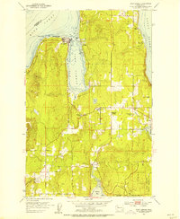
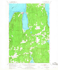
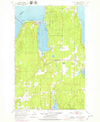
Editions of this 1953 Port Gamble Map
5 editions found
Other maps of this area

1894 · Seattle
USGS Topo · 1:62,500

1895 · Snohomish
USGS Topo · 1:125,000

1897 · Seattle
USGS Topo · 1:125,000

1908 · Seattle
USGS Topo · 1:62,500

1909 · Seattle Special
USGS Topo · 1:62,500

1937 · Port Orchard
USGS Topo · 1:62,500

1937 · Port Gamble
USGS Topo · 1:62,500

1940 · Port Gamble
USGS Topo · 1:62,500

1942 · Edmonds
USGS Topo · 1:62,500

1949 · Shilshole Bay
USGS Topo · 1:24,000