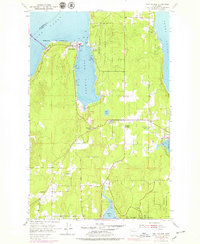
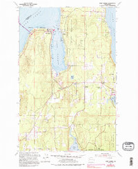
1953 Map of Port Gamble
USGS Topo · Published 1979About this map
Port Gamble sits as a primary industrial hub on this mid-century survey, dominated by a large waterfront sawmill near the entrance to the inlet. The map illustrates the geographical organization of the northern Kitsap Peninsula, bounded by Hood Canal to the west and Puget Sound to the east. Tribal lands are prominently established at the Port Gamble Indian Reservation and the Port Madison Indian Reservation, with the community of Little Boston nestled along the eastern shore of the bay.
Find a feature on this map
26 named features on this map. Tap any name to fly to it.
Don’t see what you’re looking for? This feature index may not catch every label — zoom into the map to look around manually.
Map Details
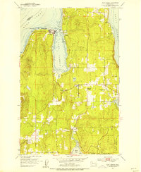
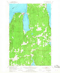
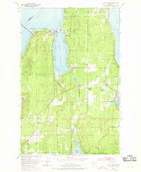
Editions of this 1953 Port Gamble Map
5 editions found
Other maps of this area

1894 · Seattle
USGS Topo · 1:62,500

1895 · Snohomish
USGS Topo · 1:125,000

1897 · Seattle
USGS Topo · 1:125,000

1908 · Seattle
USGS Topo · 1:62,500

1909 · Seattle Special
USGS Topo · 1:62,500

1937 · Port Orchard
USGS Topo · 1:62,500

1937 · Port Gamble
USGS Topo · 1:62,500

1940 · Port Gamble
USGS Topo · 1:62,500

1942 · Edmonds
USGS Topo · 1:62,500

1949 · Shilshole Bay
USGS Topo · 1:24,000