
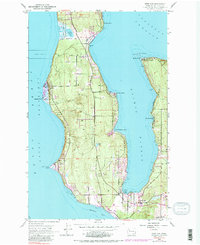
1953 Map of Freeland
USGS Topo · Published 1955About this map
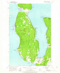
Freeland and the central portion of Whidbey Island are documented here following 1951 aerial photography, showing a coastal landscape defined by sheltered inlets and growing vacation communities. The geography is dominated by the deep indentation of Holmes Harbor, which separates the main island mass from the eastern peninsula containing Baby Island Heights and Beverly Beach. At the southern end of the harbor, the settlement of Freeland serves as a hub near the Holmes Harbor Golf Course. On the western shore, the Bush Point Lighthouse stands as a critical navigational aid for maritime traffic navigating Admiralty Inlet. The northern portion of the map includes the Naval Reservation Bdy surrounding Lake Hancock, highlighting the strategic military presence in the Puget Sound region during the mid-century era. Smaller settlements like Greenbank and Harbor Center anchor the local road network and rural homesteads.
Find a feature on this map
24 named features on this map. Tap any name to fly to it.
Don’t see what you’re looking for? This feature index may not catch every label — zoom into the map to look around manually.
Map Details
Editions of this 1953 Freeland Map
6 editions found
Other maps of this area

1895 · Snohomish
USGS Topo · 1:125,000

1897 · Seattle
USGS Topo · 1:125,000

1911 · Mount Vernon
USGS Topo · 1:125,000

1937 · Port Gamble
USGS Topo · 1:62,500

1939 · Coupeville
USGS Topo · 1:62,500

1940 · Port Gamble
USGS Topo · 1:62,500

1942 · Edmonds
USGS Topo · 1:62,500

1943 · Stanwood
USGS Topo · 1:62,500

1953 · Hansville
USGS Topo · 1:24,000

1953 · Coupeville
USGS Topo · 1:24,000