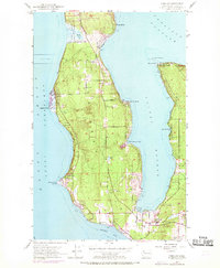
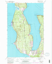
1953 Map of Freeland
USGS Topo · Published 1969About this map
Bush Point Lighthouse stands as a primary navigational aid on the western shore of Whidbey Island, marking the entrance to Admiralty Inlet. This mid-century survey, with revisions noted through the late 1960s, documents the coastal development of Island County, specifically around the deep waters of Holmes Harbor. Residential footprints are evident in established areas like Freeland, Beverly Beach, and Baby Island Heights, while the northern interior remains dominated by larger parcels and the Lake Hancock area, which is partially defined by a Naval Reservation boundary. The map records a landscape shaped by both maritime activity and inland hydrology, from the tidal flats of Mutiny Bay to the interior waters of Chase Lake. Distinct local landmarks such as a Windmill near Freeland and several extraction sites including a Quarry and Gravel Pit highlight the community's early infrastructure and resource use during this period of growth.
Find a feature on this map
26 named features on this map. Tap any name to fly to it.
Don’t see what you’re looking for? This feature index may not catch every label — zoom into the map to look around manually.
Map Details
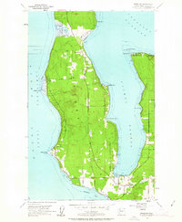
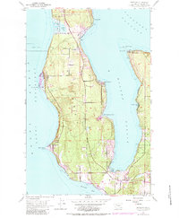
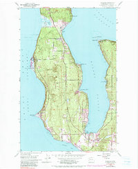
Editions of this 1953 Freeland Map
6 editions found

Other maps of this area

1895 · Snohomish
USGS Topo · 1:125,000

1897 · Seattle
USGS Topo · 1:125,000

1911 · Mount Vernon
USGS Topo · 1:125,000

1937 · Port Gamble
USGS Topo · 1:62,500

1939 · Coupeville
USGS Topo · 1:62,500

1940 · Port Gamble
USGS Topo · 1:62,500

1942 · Edmonds
USGS Topo · 1:62,500

1943 · Stanwood
USGS Topo · 1:62,500

1953 · Hansville
USGS Topo · 1:24,000

1953 · Coupeville
USGS Topo · 1:24,000