Old Maps of Glendale, Washington for Academic Research
Study the evolution of Glendale with 14 high-resolution historic maps. Whether you're teaching, researching, or modeling changes in land use, these maps provide essential visual documentation of urban, environmental, and geographic change.
- Analyze long-term change: Track patterns in development, transportation, and natural features.
- Ideal for environmental or urban studies: Support academic projects with primary historical map data.
- Use in the classroom or lab: Educators and researchers rely on these maps to bring historical context to life.
These maps are a powerful tool for teaching, research, and visualizing how Glendale has changed over the decades.
Glendale, WA maps
(14)- 1895 Map of Snohomish, 1954 Print
 1895 Snohomish1954 Print · USGSThe Puget Sound region in the late nineteenth century is documented here as Seattle and Everett rapidly expand via a growing rail network. Genealogists and historians can trace early waterfront settlements and inland junctions such as Mukilteo, Woodinville, and the grounds of Ft. Lawton.
 - 1897 Map of Seattle
 1897 Seattle1897 Print · USGSThe Puget Sound region is seen here in the late nineteenth century as the rail-and-water economy flourished. Genealogists and historians can trace early landings and rail stops like Curtis Landing, Moorland, and Kirkland Junction.10 unique versions available
 - 1942 Map of Edmonds, 1944 Print
 1942 Edmonds1944 Print · USGSCoastal Snohomish County and Whidbey Island are captured in the early 1940s during a period of maritime and rail expansion. Researchers can trace historic ferry lines, the Great Northern railroad, and local landmarks like Alderwood Manor and Firlands Sanitarium.
 - 1953 Map of Mukilteo, 1955 Print
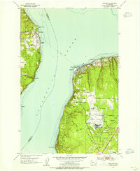 1953 Mukilteo1955 Print · USGSThe Mukilteo coastline and Whidbey Island are captured here in the early fifties, just as the local aviation and military presence was expanding. Trace the early layout of Paine Field, find the Lighthouse at Elliot Point, and follow the Ferry crossing to Clinton.5 unique versions available
 - 1953 Map of Edmonds, 1958 Print
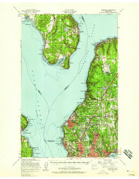 1953 Edmonds1958 Print · USGSThe Snohomish County shoreline and southern Whidbey Island were undergoing a massive suburban shift in the early fifties. Researchers can trace the growth of Mountlake Terrace, locate old schoolhouses like Fairmont School, and find the Paine Field Air Force Base.
 - 1958 Map of Seattle, 1966 Print
 1958 Seattle1966 Print · USGSThe Puget Sound region in the mid-fifties showcases a balance of urban growth and Olympic wilderness. Trace the industrial waterfronts of Tacoma, old naval facilities like Keyport Naval Res, and mountain peaks like Mount Constance.3 unique versions available
 - 1962 Map of Seattle
 1962 Seattle1962 Print · USGSThe Puget Sound region and Olympic Peninsula are shown at a peak of mid-century growth. Genealogists and historians can trace rail lines like the Pacific Coast RR or locate landmarks such as Fort Lawton and the Bothell Power Station.
 - 1975 Map of Seattle, 1977 Print
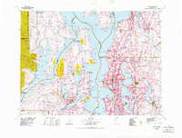 1975 Seattle1977 Print · USGSThe Puget Sound region in the mid-seventies shows a landscape of rapid suburban growth and vital maritime industry. Researchers can trace the development of Eastside hubs like Bellevue or examine the rail and naval infrastructure of Bremerton and Paine Field.
 - 1992 Map of Seattle, 1993 Print
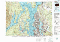 1992 Seattle1993 Print · USGSThe Seattle metropolitan area and Puget Sound are shown here in the early nineties during a period of rapid suburban and technological growth. Researchers can trace the development of Mercer Island, locate the Bangor Naval Submarine Base, and study the industrial layout of Boeing Field.2 unique versions available
 - 2011 Map of Mukilteo, 2011 Print
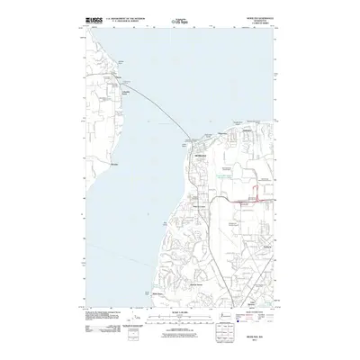 2011 Mukilteo2011 Print · USGSMaritime and aviation history converge at the turn of the decade along the shores of Possession Sound. Researchers can trace the ferry route between the Clinton Ferry Landing and Mukilteo or locate landmarks like the Mukilteo Lighthouse and Snohomish County Airport.
 - 2014 Map of Mukilteo, 2014 Print
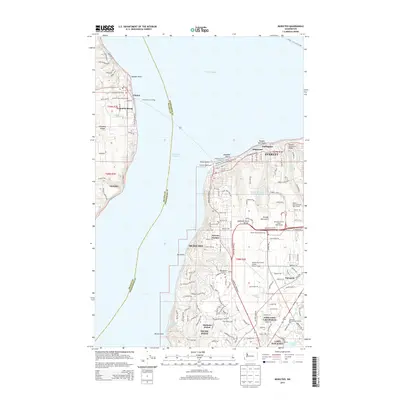 2014 Mukilteo2014 Print · USGSThe maritime gateway between Whidbey Island and the mainland is captured here in the early twenty-first century. Researchers can trace transportation links from the Mukilteo Ferry Landing to the island settlements of Clinton and Glendale, alongside the sprawling grounds of Paine Field.
 - 2017 Map of Mukilteo, 2017 Print
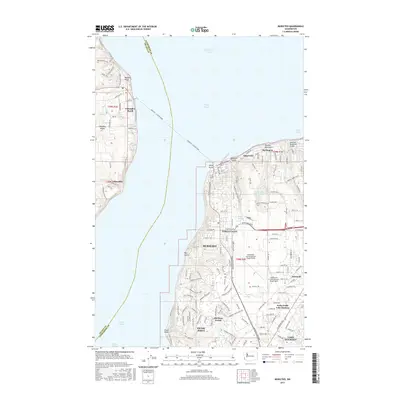 2017 Mukilteo2017 Print · USGSSnohomish County and Whidbey Island are captured here during a period of significant coastal and suburban development. Genealogists and local historians can trace family-named sites and neighborhoods from Mukilteo and Glendale to Nelsons Corner and Fairmont.
 - 2020 Map of Mukilteo, 2020 Print
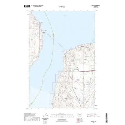 2020 Mukilteo2020 Print · USGSWhidbey Island and the Snohomish mainland meet at the turn of the 2020s, linked by the busy Mukilteo - Clinton Ferry. Researchers can trace the legacy of the sound at Elliot Point, locate the Mukilteo Pioneer Cem, or study the aviation grounds of Paine Field.
 - 2023 Map of Mukilteo, 2023 Print
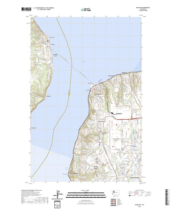 2023 Mukilteo2023 Print · USGSCoastal Snohomish County and Whidbey Island are shown in high detail during the early 2020s. Trace the iconic Mukilteo - Clinton Ferry route, the grounds of Mukilteo Pioneer Cem, and the massive airfield at Paine Field.
End of results
Showing maps 1-14 of 14
Top cities near Glendale
- Seattle historical maps
- Everett historical maps
- Kirkland historical maps
- Redmond historical maps
- Marysville historical maps
- Shoreline historical maps
See more
Frequently asked questions
- What are the different types of historical maps available for Glendale?
- What is the oldest map of Glendale?
- Where can I purchase historical maps of Glendale for my home or office?
- Where can I download high-res historical maps of Glendale?
- Are there historical topographic maps available for Glendale?
- Is there historical aerial imagery available for Glendale?
- Where are historical maps of Glendale sourced from?