Old Maps of Northgate Terrace, Island County for Academic Research
Study the evolution of Northgate Terrace with 12 high-resolution historic maps. Whether you're teaching, researching, or modeling changes in land use, these maps provide essential visual documentation of urban, environmental, and geographic change.
- Analyze long-term change: Track patterns in development, transportation, and natural features.
- Ideal for environmental or urban studies: Support academic projects with primary historical map data.
- Use in the classroom or lab: Educators and researchers rely on these maps to bring historical context to life.
These maps are a powerful tool for teaching, research, and visualizing how Northgate Terrace has changed over the decades.
Northgate Terrace, Island County maps
(12)- 1943 Map of Deception Pass
 1943 Deception Pass1943 Print · USGSFidalgo and Whidbey Islands are shown in the early 1940s, highlighting the maritime and rail connections of Puget Sound. Researchers can trace the boundaries of the Swinomish Indian Reservation or locate early schools like Fidalgo Sch and Dewey Sch.
 - 1951 Map of Deception Pass, 1953 Print
 1951 Deception Pass1953 Print · USGSWhidbey and Fidalgo Islands appear here in the early fifties as the region's naval and agricultural identities merged. Genealogists and local historians can trace early schools and coastal landmarks like Rosario School, Fort Whitman, and the village of La Conner.3 unique versions available
 - 1957 Map of Victoria, 1960 Print
 1957 Victoria1960 Print · USGSThe San Juan Islands and the North Cascades coastline are shown in detail during the late fifties, a period of significant military and industrial presence. Researchers can trace historic rail lines like the Great Northern or locate sites such as the Whidbey Island Naval Air Sta and Friday Harbor.4 unique versions available
 - 1973 Map of Oak Harbor, 1977 Print
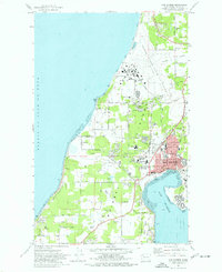 1973 Oak Harbor1977 Print · USGSWhidbey Island during the early seventies reveals the massive infrastructure of Ault Field alongside a growing Oak Harbor. Researchers can trace local heritage through sites like Maple Leaf Cem, Clover Valley School, and the Drive-in Theater.3 unique versions available
 - 1975 Map of Port Townsend, 1977 Print
 1975 Port Townsend1977 Print · USGSThe northern Puget Sound in the mid-seventies shows a landscape of military readiness and maritime industry. Researchers can trace the extensive Whidbey Island Naval Air Station or locate historic coastal defenses at Fort Casey Military Res and Fort Ebey Military Res.
 - 1993 Map of Port Townsend
 1993 Port Townsend1993 Print · USGSThe Puget Sound and Whidbey Island are captured in the early nineties, showing a landscape defined by naval aviation and maritime trade. Genealogists and local historians can trace the development of Oak Harbor and Coupeville or locate family sites near the Arlington Municipal Cemetery and Ault Field.
 - 1998 Map of Oak Harbor, 2002 Print
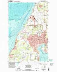 1998 Oak Harbor2002 Print · USGSWhidbey Island is captured in the late nineties as a mix of strategic naval operations and growing island communities. Genealogists and historians can trace property near Maple Leaf Cem or the airfield at Whidbey Island Naval Air Station.
 - 2011 Map of Oak Harbor, 2011 Print
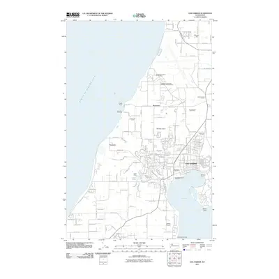 2011 Oak Harbor2011 Print · USGSCovers Northgate Terrace, including Oak Harbor, Swantown, and other nearby areas
 - 2014 Map of Oak Harbor, 2014 Print
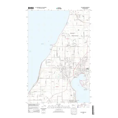 2014 Oak Harbor2014 Print · USGSCovers Northgate Terrace, including Oak Harbor, Swantown, and other nearby areas
 - 2017 Map of Oak Harbor, 2017 Print
 2017 Oak Harbor2017 Print · USGSCovers Northgate Terrace, including Oak Harbor, Swantown, and other nearby areas
 - 2020 Map of Oak Harbor, 2020 Print
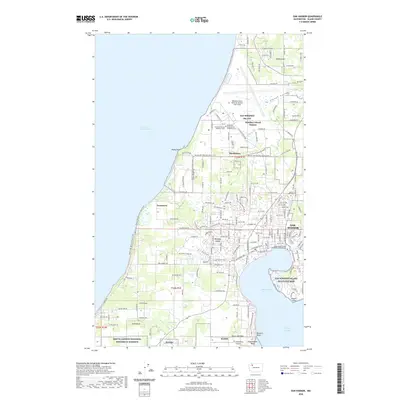 2020 Oak Harbor2020 Print · USGSCovers Northgate Terrace, including Oak Harbor, Swantown, and other nearby areas
 - 2023 Map of Oak Harbor, 2023 Print
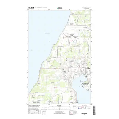
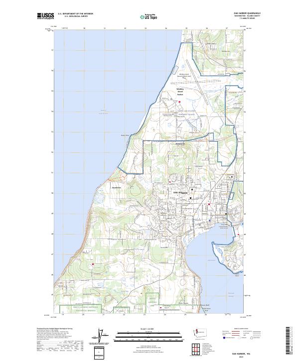 2023 Oak Harbor2023 Print · USGSWhidbey Island at the start of the 2020s shows a unique landscape where military aviation and historic preservation meet. Genealogists and historians can trace cemetery locations like Maple Leaf Cem and Fircrest Cem, or explore the heritage of the Ebey's Landing area.
End of results
Showing maps 1-12 of 12
Frequently asked questions
- What are the different types of historical maps available for Northgate Terrace?
- What is the oldest map of Northgate Terrace?
- Where can I purchase historical maps of Northgate Terrace for my home or office?
- Where can I download high-res historical maps of Northgate Terrace?
- Are there historical topographic maps available for Northgate Terrace?
- Is there historical aerial imagery available for Northgate Terrace?
- Where are historical maps of Northgate Terrace sourced from?