Old Maps of Smith Place, Washington
Explore 10 old maps of Smith Place, spanning from 1956 to today. These high-resolution historic maps reveal how streets, neighborhoods, landmarks, and natural features evolved over time — perfect for genealogy, metal detecting, research, and local history exploration.
What you can do with these maps:
- See how Smith Place changed over time: Compare historical maps to modern-day views to trace roads, homesites, rail lines & more.
- View detailed metadata: Each map includes creators, publishers, year, scale, and archive source.
- Overlay maps with satellite & LiDAR: Visualize the past alongside modern tools to explore terrain & human change.
- Trusted historical sources: Maps sourced from the USGS, Library of Congress, and other archives.
- Access maps your way: View online, download high-res files, or order prints for personal or research use.
Start exploring old maps of Smith Place to uncover forgotten places, hidden landmarks, and the deep history beneath your feet.
Smith Place, WA maps
(10)- 1956 Map of Kloochman Rock, 1960 Print
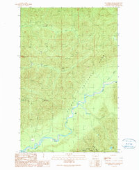
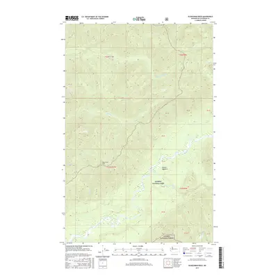
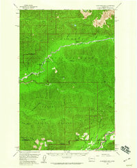 1956 Kloochman Rock1960 Print · USGSMid-century Jefferson County is shown as a vast wilderness of river basins and high ridges during the peak years of the national forest era. Researchers can trace the locations of backcountry shelters like Bob Creek Shelter and early outposts such as Smith Place.3 unique versions available
 - 1958 Map of Seattle, 1966 Print
 1958 Seattle1966 Print · USGSThe Puget Sound region in the mid-fifties showcases a balance of urban growth and Olympic wilderness. Trace the industrial waterfronts of Tacoma, old naval facilities like Keyport Naval Res, and mountain peaks like Mount Constance.3 unique versions available
 - 1962 Map of Seattle
 1962 Seattle1962 Print · USGSThe Puget Sound region and Olympic Peninsula are shown at a peak of mid-century growth. Genealogists and historians can trace rail lines like the Pacific Coast RR or locate landmarks such as Fort Lawton and the Bothell Power Station.
 - 1988 Map of Mount Olympus
 1988 Mount Olympus1988 Print · USGSThe Olympic Peninsula's glacial heart is captured here in the late eighties, documenting the reach of permanent ice and river headwaters. Trace the contours of the Bailey Range and identify landmarks like Sol Duc Hot Springs and the Seven Lakes Basin.
 - 1990 Map of Kloochman Rock
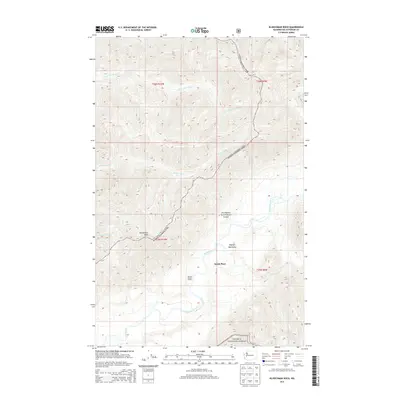
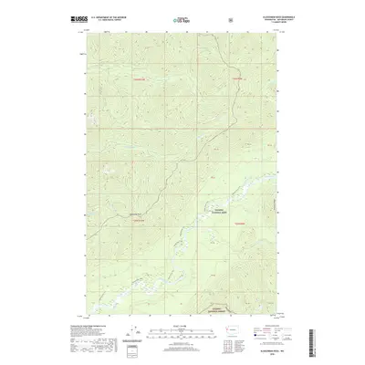
 1990 Kloochman Rock1990 Print · USGSThe Olympic Peninsula wilderness comes into sharp focus during the late twentieth century, showing the intersection of park lands and forest industry. Trace remote locations like Smith Place, the peak at Kloochman Rock, and the waters of Lake Dilly.
 - 2011 Map of Kloochman Rock, 2011 Print
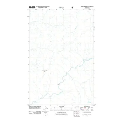 2011 Kloochman Rock2011 Print · USGSCovers Smith Place, including Jefferson County, United States, and other nearby areas
 - 2014 Map of Kloochman Rock, 2014 Print
 2014 Kloochman Rock2014 Print · USGSCovers Smith Place, including Jefferson County, United States, and other nearby areas
 - 2017 Map of Kloochman Rock, 2017 Print
 2017 Kloochman Rock2017 Print · USGSCovers Smith Place, including Jefferson County, United States, and other nearby areas
 - 2020 Map of Kloochman Rock, 2020 Print
 2020 Kloochman Rock2020 Print · USGSCovers Smith Place, including Jefferson County, United States, and other nearby areas
 - 2023 Map of Kloochman Rock, 2023 Print
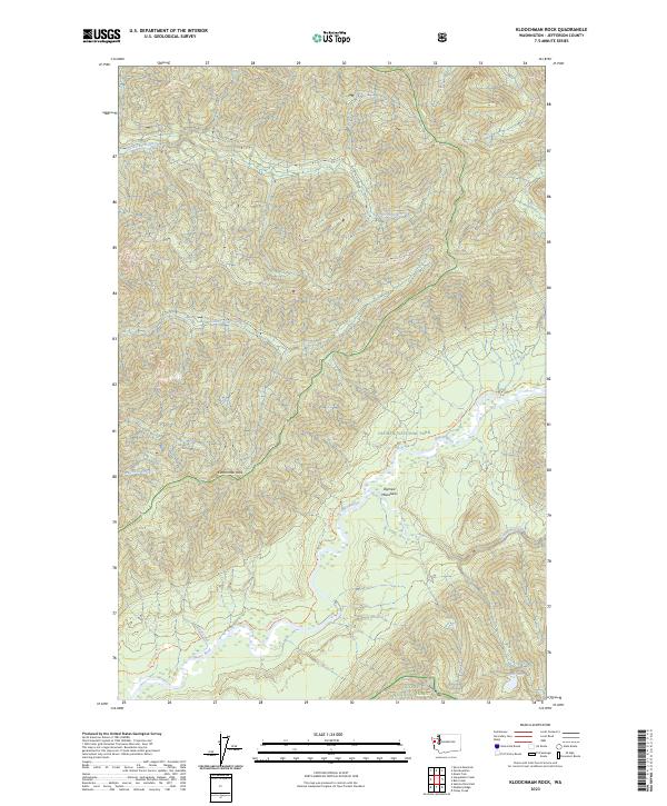 2023 Kloochman Rock2023 Print · USGSDeep in the Olympic Peninsula during the early twenty-first century, this area shows a landscape defined by protected wilderness and rugged river systems. Researchers can trace the Queets River Trl past Kloochman Rock or locate remote features like Lake Billy.
End of results
Showing maps 1-10 of 10
Frequently asked questions
- What are the different types of historical maps available for Smith Place?
- What is the oldest map of Smith Place?
- Where can I purchase historical maps of Smith Place for my home or office?
- Where can I download high-res historical maps of Smith Place?
- Are there historical topographic maps available for Smith Place?
- Is there historical aerial imagery available for Smith Place?
- Where are historical maps of Smith Place sourced from?