
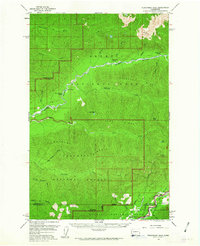
1956 Map of Kloochman Rock
USGS Topo · Published 1960About this map
The Queets River and Quinault River systems anchor this 1950s survey of the Olympic Peninsula, revealing a landscape defined by deep ridges and isolated backcountry outposts. While much of the territory falls within Olympic National Park and the Olympic National Forest, evidence of human transit and occupation appears at Smith Place and the Quinault R S. The map details a network of shelters essential for wilderness travel, including the Spruce Bottom Shelter, Bob Creek Shelter, and Pelton Creek Shelter.
Find a feature on this map
41 named features on this map. Tap any name to fly to it.
Don’t see what you’re looking for? This feature index may not catch every label — zoom into the map to look around manually.
Map Details
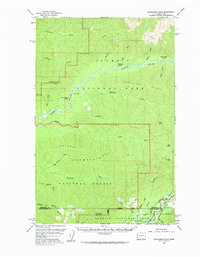
Editions of this 1956 Kloochman Rock Map
3 editions found
Other maps of this area

1921 · Quinault Lake
USGS Topo · 1:62,500

1921 · Satsop
USGS Topo · 1:62,500

1935 · Mount Olympus
USGS Topo · 1:62,500

1939 · Mount Tom
USGS Topo · 1:62,500

1942 · Mount Olympus
USGS Topo · 1:62,500

1943 · Spruce Mountain
USGS Topo · 1:62,500

1943 · Copalis Beach
USGS Topo · 1:250,000

1947 · Mt Christie
USGS Topo · 1:62,500

1950 · Mt Christie
USGS Topo · 1:62,500

1951 · Copalis Beach
USGS Topo · 1:250,000