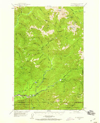
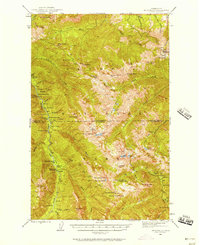
1947 Map of Mt Christie
USGS Topo · Published 1959About this map
Olympic National Park and the adjacent Olympic National Forest dominate this 1947 topographic record of the Jefferson County backcountry. The map traces the upper reaches of the Quinault River and Elwha River, documenting the early infrastructure of the park system. Key waypoints for travelers of this era include the Graves Creek Inn, the North Fork Ranger Station, and several backcountry shelters such as Sixteenmile Shelter and Three Prune Shelter.
Find a feature on this map
72 named features on this map. Tap any name to fly to it.
Don’t see what you’re looking for? This feature index may not catch every label — zoom into the map to look around manually.
Map Details
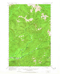
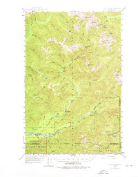
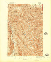
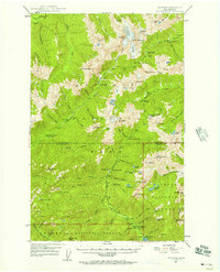
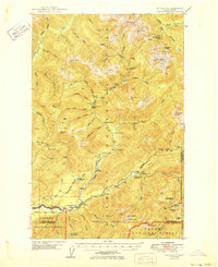
Editions of this 1947 Mt Christie Map
3 editions found
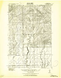
Other maps of this area

1921 · Quinault Lake
USGS Topo · 1:62,500
1921 · Satsop
USGS Topo · 1:62,500

1935 · Mount Olympus
USGS Topo · 1:62,500

1938 · Mt Constance
USGS Topo · 1:125,000

1939 · Mount Tom
USGS Topo · 1:62,500

1942 · Mount Olympus
USGS Topo · 1:62,500
1944 · Mt. Angeles
USGS Topo · 1:62,500
1946 · Mt. Angeles
USGS Topo · 1:62,500
1947 · Mt. Steel
USGS Topo · 1:62,500
1950 · Mt Christie
USGS Topo · 1:62,500