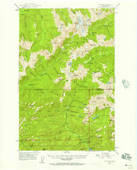
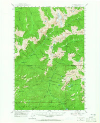
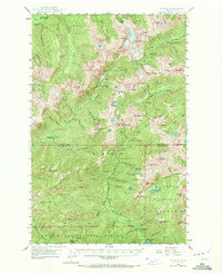
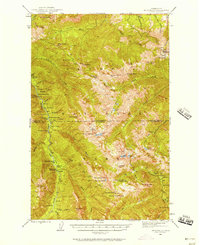
1947 Map of Mt. Steel
USGS Topo · Published 1957About this map
Chalet and the Nine Stream Shelter mark the few human outposts within this high-elevation wilderness surveyed in the late 1930s and field-checked just after the war. The landscape is defined by the headwaters of the North Fork Skokomish River and the Quinault River, where steep ridges and glacial basins separate isolated peaks. The presence of backcountry structures like the Nine Stream Shelter highlights the area's role as a destination for early 20th-century wilderness exploration and mountaineering within the Olympic interior before modern infrastructure transformed mountain access. This map documents a period of transition for the region's protected lands, showing the rugged topography and primitive trail networks that connected these remote high-country stations.
Find a feature on this map
2 named features on this map. Tap any name to fly to it.
Don’t see what you’re looking for? This feature index may not catch every label — zoom into the map to look around manually.
Map Details
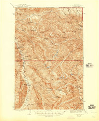
Editions of this 1947 Mt. Steel Map
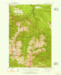
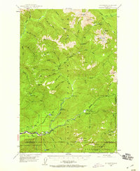
Other maps of this area
1921 · Satsop
USGS Topo · 1:62,500

1935 · Mount Olympus
USGS Topo · 1:62,500

1938 · Mt Constance
USGS Topo · 1:125,000

1942 · Mount Olympus
USGS Topo · 1:62,500

1943 · Potlatch
USGS Topo · 1:62,500
1944 · Mt. Angeles
USGS Topo · 1:62,500
1946 · Mt. Angeles
USGS Topo · 1:62,500
1946 · Tyler Peak
USGS Topo · 1:62,500

1947 · The Brothers
USGS Topo · 1:62,500
1947 · Mt Christie
USGS Topo · 1:62,500