
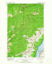
1947 Map of The Brothers
USGS Topo · Published 1957About this map
Hood Canal forms the eastern boundary of this high-elevation landscape, where the Olympic interior drops sharply toward the saltwater. The topography is defined by the massive drainage systems of the Dosewallips River, Duckabush River, and Hamma Hamma River, which cut deep valleys through the Olympic National Forest. In the late 1940s, the human presence here was largely confined to the narrow coastal strip and a network of forest management sites. The settlement at Eldon and the John Ahl Sch represent the sparse population along the shoreline, while the interior remains a domain of primitive camps and lookouts. Significant mountaineering landmarks including The Brothers and Mt Jupiter are mapped alongside several remote shelters like the Dose Forks Shelter and Soda Springs Shelter, illustrating the area's early development for wilderness access and fire protection via the Webb Lookout and Hamma Hamma Guard Sta.
Find a feature on this map
64 named features on this map. Tap any name to fly to it.
Don’t see what you’re looking for? This feature index may not catch every label — zoom into the map to look around manually.
Map Details
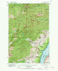
Editions of this 1947 The Brothers Map
Other maps of this area

1936 · Point Misery
USGS Topo · 1:62,500

1938 · Mt Constance
USGS Topo · 1:125,000

1938 · Allyn
USGS Topo · 1:62,500

1940 · Point Misery
USGS Topo · 1:62,500

1940 · Quilcene
USGS Topo · 1:62,500

1943 · Potlatch
USGS Topo · 1:62,500

1944 · Mt. Angeles
USGS Topo · 1:62,500

1946 · Mt. Angeles
USGS Topo · 1:62,500

1946 · Tyler Peak
USGS Topo · 1:62,500

1947 · Mt. Steel
USGS Topo · 1:62,500