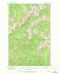
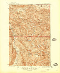
1947 Map of Mt. Steel
USGS Topo · Published 1972About this map
The high alpine crest of the Olympic Mountains dominates this mid-century survey, centered on the intersection of Jefferson and Mason counties. At its heart, Mt Anderson serves as a massive glacial hub, feeding the Anderson Glacier, Eel Glacier, and Hanging Glacier. This environment is shaped by a dense network of headwaters, including the northward-flowing Hayes River and the eastern Dosewallips River.
Find a feature on this map
103 named features on this map. Tap any name to fly to it.
Don’t see what you’re looking for? This feature index may not catch every label — zoom into the map to look around manually.
Map Details
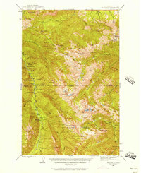
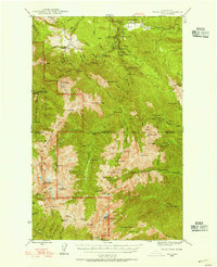
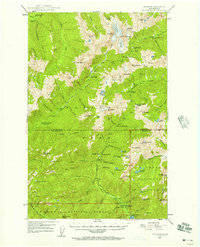
Editions of this 1947 Mt. Steel Map
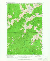
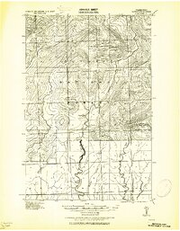
Other maps of this area
1921 · Satsop
USGS Topo · 1:62,500

1935 · Mount Olympus
USGS Topo · 1:62,500

1938 · Mt Constance
USGS Topo · 1:125,000

1942 · Mount Olympus
USGS Topo · 1:62,500

1943 · Potlatch
USGS Topo · 1:62,500
1944 · Mt. Angeles
USGS Topo · 1:62,500
1946 · Mt. Angeles
USGS Topo · 1:62,500
1946 · Tyler Peak
USGS Topo · 1:62,500

1947 · The Brothers
USGS Topo · 1:62,500
1947 · Mt. Steel
USGS Topo · 1:62,500