Old Maps of Maple Glen, Kirkland
Explore 12 old maps of Maple Glen, spanning from 1895 to today. These high-resolution historic maps reveal how streets, neighborhoods, landmarks, and natural features evolved over time — perfect for genealogy, metal detecting, research, and local history exploration.
What you can do with these maps:
- See how Maple Glen changed over time: Compare historical maps to modern-day views to trace roads, homesites, rail lines & more.
- View detailed metadata: Each map includes creators, publishers, year, scale, and archive source.
- Overlay maps with satellite & LiDAR: Visualize the past alongside modern tools to explore terrain & human change.
- Trusted historical sources: Maps sourced from the USGS, Library of Congress, and other archives.
- Access maps your way: View online, download high-res files, or order prints for personal or research use.
Start exploring old maps of Maple Glen to uncover forgotten places, hidden landmarks, and the deep history beneath your feet.
Maple Glen, Kirkland maps
(12)- 1895 Map of Snohomish, 1954 Print
 1895 Snohomish1954 Print · USGSThe Puget Sound region in the late nineteenth century is documented here as Seattle and Everett rapidly expand via a growing rail network. Genealogists and historians can trace early waterfront settlements and inland junctions such as Mukilteo, Woodinville, and the grounds of Ft. Lawton.
 - 1897 Map of Seattle
 1897 Seattle1897 Print · USGSThe Puget Sound region is seen here in the late nineteenth century as the rail-and-water economy flourished. Genealogists and historians can trace early landings and rail stops like Curtis Landing, Moorland, and Kirkland Junction.10 unique versions available
 - 1950 Map of Kirkland, 1956 Print
 1950 Kirkland1956 Print · USGSThe King County shoreline on the eve of major suburban growth shows a landscape tied to the water and rail. Trace early neighborhoods and landmarks like the Seattle-Kirkland Ferry, the Northern Pacific line, and Bridle Trail State Park.4 unique versions available
 - 1958 Map of Seattle, 1966 Print
 1958 Seattle1966 Print · USGSThe Puget Sound region in the mid-fifties showcases a balance of urban growth and Olympic wilderness. Trace the industrial waterfronts of Tacoma, old naval facilities like Keyport Naval Res, and mountain peaks like Mount Constance.3 unique versions available
 - 1962 Map of Seattle
 1962 Seattle1962 Print · USGSThe Puget Sound region and Olympic Peninsula are shown at a peak of mid-century growth. Genealogists and historians can trace rail lines like the Pacific Coast RR or locate landmarks such as Fort Lawton and the Bothell Power Station.
 - 1975 Map of Seattle, 1977 Print
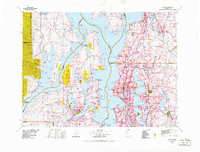 1975 Seattle1977 Print · USGSThe Puget Sound region in the mid-seventies shows a landscape of rapid suburban growth and vital maritime industry. Researchers can trace the development of Eastside hubs like Bellevue or examine the rail and naval infrastructure of Bremerton and Paine Field.
 - 1992 Map of Seattle, 1993 Print
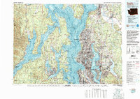 1992 Seattle1993 Print · USGSThe Seattle metropolitan area and Puget Sound are shown here in the early nineties during a period of rapid suburban and technological growth. Researchers can trace the development of Mercer Island, locate the Bangor Naval Submarine Base, and study the industrial layout of Boeing Field.2 unique versions available
 - 2011 Map of Kirkland, 2011 Print
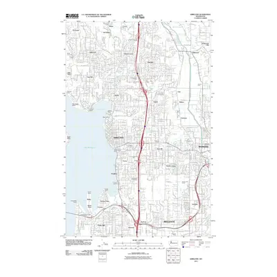 2011 Kirkland2011 Print · USGSThe Eastside of Lake Washington is captured here in detail during a period of significant suburban maturity. Researchers can trace the development of neighborhoods like Juanita and Rose Hill or locate landmarks such as Everest Memorial Park and Bastyr University.
 - 2014 Map of Kirkland, 2014 Print
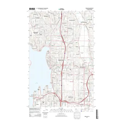 2014 Kirkland2014 Print · USGSLake Washington's eastern shore and the burgeoning tech corridor of the Eastside appear in meticulous detail during this era of rapid growth. Researchers can trace the modern footprints of Kirkland and Redmond while finding established local landmarks like Northwest Univ and the Wayne Golf Course.
 - 2017 Map of Kirkland, 2017 Print
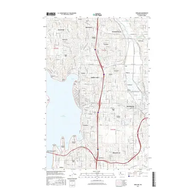 2017 Kirkland2017 Print · USGSThe Eastside of Lake Washington is shown here during a period of intense suburban and institutional growth. Researchers can trace the development of Kirkland and Redmond while locating landmarks like Northwest University and the Tolt Pipeline Trail.
 - 2020 Map of Kirkland, 2020 Print
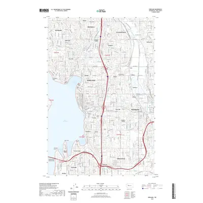 2020 Kirkland2020 Print · USGSEastern Lake Washington shores and the growing Eastside suburbs are shown here in the contemporary era. Researchers can trace neighborhood boundaries and find local landmarks like Everest Memorial Park, Kirkland Cem, and Northwest University.
 - 2023 Map of Kirkland, 2023 Print
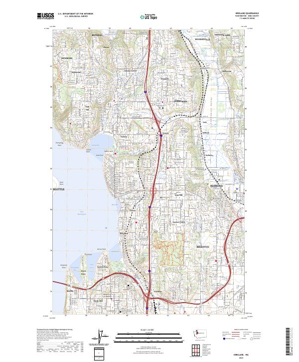 2023 Kirkland2023 Print · USGSThe eastern shores of Lake Washington and the Sammamish Valley are captured here during a period of intense suburban maturity. Researchers can trace local landmarks like Kirkland Cem, Northwest University, and neighborhood hubs like Finn Hill and Houghton.
End of results
Showing maps 1-12 of 12
Frequently asked questions
- What are the different types of historical maps available for Maple Glen?
- What is the oldest map of Maple Glen?
- Where can I purchase historical maps of Maple Glen for my home or office?
- Where can I download high-res historical maps of Maple Glen?
- Are there historical topographic maps available for Maple Glen?
- Is there historical aerial imagery available for Maple Glen?
- Where are historical maps of Maple Glen sourced from?