Old Maps of May Valley Mobile Home Manor, Washington
Explore 25 old maps of May Valley Mobile Home Manor, spanning from 1895 to today. These high-resolution historic maps reveal how streets, neighborhoods, landmarks, and natural features evolved over time — perfect for genealogy, metal detecting, research, and local history exploration.
What you can do with these maps:
- See how May Valley Mobile Home Manor changed over time: Compare historical maps to modern-day views to trace roads, homesites, rail lines & more.
- View detailed metadata: Each map includes creators, publishers, year, scale, and archive source.
- Overlay maps with satellite & LiDAR: Visualize the past alongside modern tools to explore terrain & human change.
- Trusted historical sources: Maps sourced from the USGS, Library of Congress, and other archives.
- Access maps your way: View online, download high-res files, or order prints for personal or research use.
Start exploring old maps of May Valley Mobile Home Manor to uncover forgotten places, hidden landmarks, and the deep history beneath your feet.
May Valley Mobile Home Manor, WA maps
(25)- 1895 Map of Snohomish, 1954 Print
 1895 Snohomish1954 Print · USGSThe Puget Sound region in the late nineteenth century is documented here as Seattle and Everett rapidly expand via a growing rail network. Genealogists and historians can trace early waterfront settlements and inland junctions such as Mukilteo, Woodinville, and the grounds of Ft. Lawton.
 - 1897 Map of Tacoma
 1897 Tacoma1897 Print · USGSPuget Sound and the Tacoma waterfront come alive in the late 1890s, when coal railroads and river valleys drove regional growth. Genealogists can trace family roots in early island settlements like Chautauqua or inland rail towns such as Black Diamond and Wilkeson.2 unique versions available
 - 1897 Map of Seattle
 1897 Seattle1897 Print · USGSThe Puget Sound region is seen here in the late nineteenth century as the rail-and-water economy flourished. Genealogists and historians can trace early landings and rail stops like Curtis Landing, Moorland, and Kirkland Junction.10 unique versions available
 - 1900 Map of Tacoma
 1900 Tacoma1900 Print · USGSThe Puget Sound region was a hive of rail and maritime activity at the end of the Victorian era. Researchers can trace early settlements like Chautauqua, identify tribal lands at the Muckleshoot Indian Reservation, and locate mining towns such as Black Diamond.9 unique versions available
 - 1949 Map of Maple Valley, 1956 Print
 1949 Maple Valley1956 Print · USGSMaple Valley and its surrounding coal-rich mountains are documented here just after the war, showing the area's transition from mining to rural community life. Researchers can trace the Pacific Coast RR line past the Indian Coal Mine (Abandoned) and locate local landmarks like the Highline Cem and Maple Valley Sch.3 unique versions available
 - 1950 Map of Issaquah, 1956 Print
 1950 Issaquah1956 Print · USGSIssaquah and the eastern shores of Sammamish Lake are captured in the early 1950s before the arrival of modern interstate highways. Trace old transit lines like the Northern Pacific railroad and find local landmarks such as the Issaquah Airport and Monohon.4 unique versions available
 - 1958 Map of Seattle, 1966 Print
 1958 Seattle1966 Print · USGSThe Puget Sound region in the mid-fifties showcases a balance of urban growth and Olympic wilderness. Trace the industrial waterfronts of Tacoma, old naval facilities like Keyport Naval Res, and mountain peaks like Mount Constance.3 unique versions available
 - 1962 Map of Seattle
 1962 Seattle1962 Print · USGSThe Puget Sound region and Olympic Peninsula are shown at a peak of mid-century growth. Genealogists and historians can trace rail lines like the Pacific Coast RR or locate landmarks such as Fort Lawton and the Bothell Power Station.
 - 1975 Map of Tacoma, 1977 Print
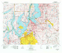 1975 Tacoma1977 Print · USGSThe Puget Sound region in the mid-seventies reveals a landscape of growing urban centers and massive federal installations. Genealogists and historians can trace the development of Tacoma and Olympia, or locate landmarks like the McNeil Island Penitentiary and Fort Lewis Military Reservation.
 - 1975 Map of Seattle, 1977 Print
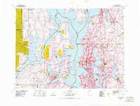 1975 Seattle1977 Print · USGSThe Puget Sound region in the mid-seventies shows a landscape of rapid suburban growth and vital maritime industry. Researchers can trace the development of Eastside hubs like Bellevue or examine the rail and naval infrastructure of Bremerton and Paine Field.
 - 1983 Map of Bellevue South
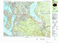 1983 Bellevue South1983 Print · USGSThe Eastside area between Lake Washington and Lake Sammamish was rapidly developing into a major suburban hub in the early eighties. Researchers can trace neighborhood growth through Beaux Arts Village, locate family records at Sunset Hills Mem Park (Cem), or follow the old Burlington Northern line.
 - 1983 Map of Renton
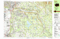 1983 Renton1983 Print · USGSRenton and the Cedar River valley are shown here in the early eighties as suburban growth began to surround the massive Lake Youngs Watershed. Researchers can trace local landmarks like Greenwood Cem, the Burlington Northern railroad, and established neighborhoods from Bryn Mawr to Maple Valley.
 - 1991 Map of Tacoma
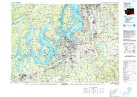 1991 Tacoma1991 Print · USGSThe South Sound and Tacoma waterfront appear here in the early nineties, showing a landscape defined by deep-water inlets and massive federal installations. Researchers can trace the development of Lakewood Center or locate the historic rail lines of the Burlington Northern Railroad and Union Pacific Railroad.
 - 1992 Map of Seattle, 1993 Print
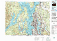 1992 Seattle1993 Print · USGSThe Seattle metropolitan area and Puget Sound are shown here in the early nineties during a period of rapid suburban and technological growth. Researchers can trace the development of Mercer Island, locate the Bangor Naval Submarine Base, and study the industrial layout of Boeing Field.2 unique versions available
 - 1995 Map of Maple Valley
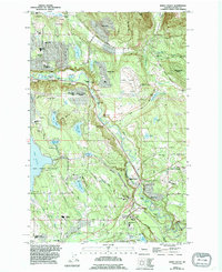 1995 Maple Valley1995 Print · USGSThe Cedar River valley in the mid-1990s shows a landscape of growing residential enclaves and protected waters. Researchers can trace suburban development around Maple Valley or locate local landmarks like Dorre Don and the Lake Youngs Watershed.
 - 2011 Map of Maple Valley, 2011 Print
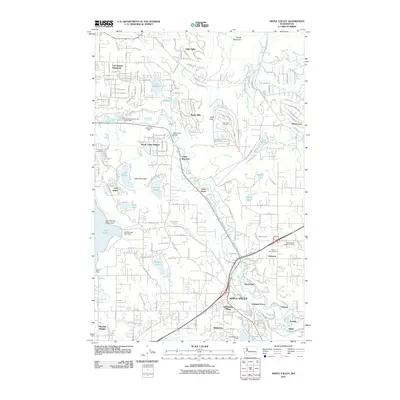 2011 Maple Valley2011 Print · USGSThe Cedar River valley in the early twenty-first century reveals a landscape shaped by coal mining and growing residential communities. Genealogists and local historians can locate the Maple Valley Hobart Cemetery, trace old mining sites like the Indian Coal Mine, and explore established settlements such as Dorre Don.
 - 2011 Map of Issaquah, 2011 Print
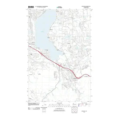 2011 Issaquah2011 Print · USGSIssaquah and the eastern shores of Lake Sammamish are captured here just after the first decade of the millennium. Researchers can trace the layout of Issaquah, identify the location of Hillside Cemetery, and locate industrial sites like the Lakeside Gravel Pit.
 - 2014 Map of Issaquah, 2014 Print
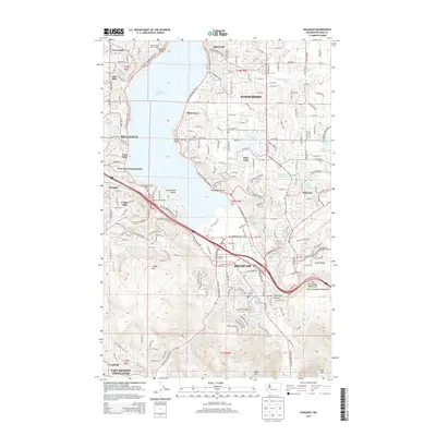 2014 Issaquah2014 Print · USGSKing County's Eastside suburbs and the peaks of the Issaquah Alps are caught in a moment of significant growth during the early 2010s. Researchers can locate long-standing landmarks like Hillside Cem and the Sammamish Bible Camp alongside modern developments and the City of Issaquah Watershed.
 - 2014 Map of Maple Valley, 2014 Print
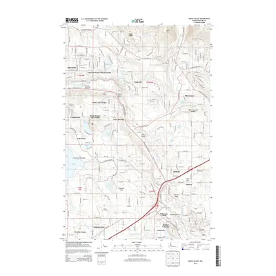 2014 Maple Valley2014 Print · USGSSoutheast King County enters a period of modern growth in this mid-2010s survey, where suburban expansion meets legacy coal mining sites. Researchers can trace family sites near Tahoma National Cem or explore the outskirts of Hobart and the Indian Coal Mine.
 - 2017 Map of Issaquah, 2017 Print
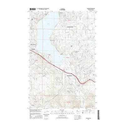 2017 Issaquah2017 Print · USGSThe Eastside suburbs of King County are shown here in the late twenty-teens as they wrap around the shores of Lake Sammamish. Trace the residential growth from Bellevue to Issaquah alongside landmarks like Hillside Cem and Squak Mtn.
 - 2017 Map of Maple Valley, 2017 Print
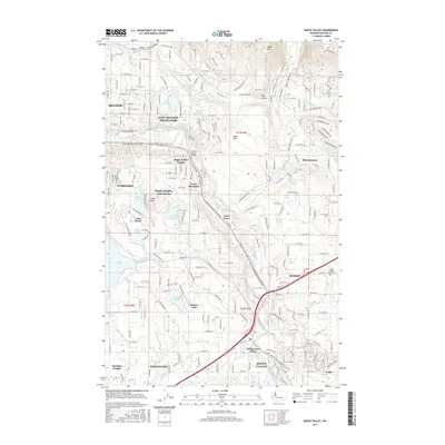 2017 Maple Valley2017 Print · USGSKing County’s southeastern suburbs and river valleys are shown in detail as they appeared in the late 2010s. Genealogists and local historians can trace family roots near Maple Valley-Hobart Cem or locate homes in Wilderness Village and Fairwood.
 - 2020 Map of Issaquah, 2020 Print
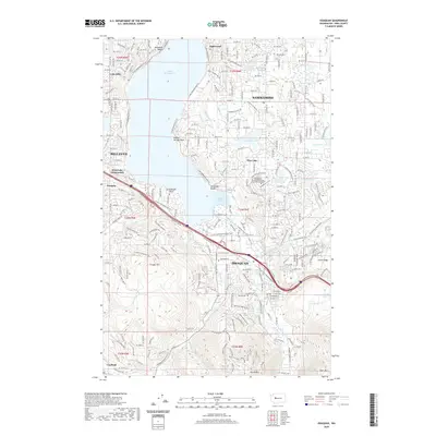 2020 Issaquah2020 Print · USGSSammamish and Issaquah are shown in 2020 as dense residential hubs nestled between the lake shore and the high peaks of the Issaquah Alps. Researchers can trace local development around Pine Lake, identify the historic Hillside Cem, or map the drainage of Tibbetts Cr.
 - 2020 Map of Maple Valley, 2020 Print
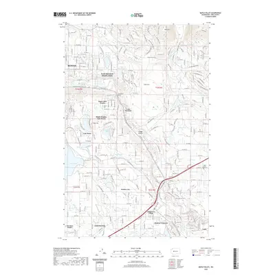 2020 Maple Valley2020 Print · USGSKing County's suburban and rural fringes are meticulously documented in this contemporary survey of the Cedar River corridor. Researchers can trace local landmarks and community centers including Wilderness Village, Maple Valley-Hobart Cem, and the Jones Road Bridge.
 - 2023 Map of Issaquah, 2023 Print
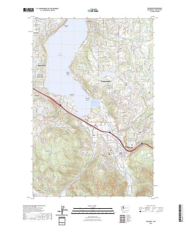 2023 Issaquah2023 Print · USGSThe Eastside foothills and Sammamish Plateau are shown in detail as they appeared in 2023. Genealogists and hikers can trace sites from Hillside Cem to the high points of Cougar Mtn and Squak Mtn.
 - 2023 Map of Maple Valley, 2023 Print
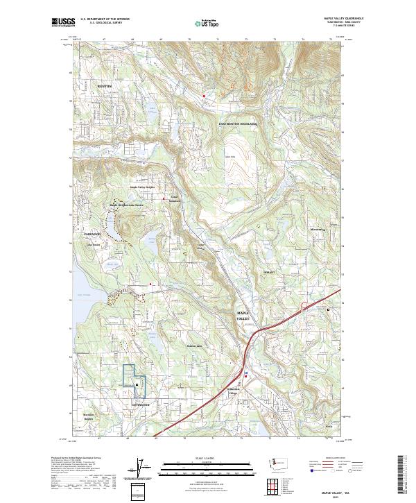 2023 Maple Valley2023 Print · USGSThe Cedar River valley and the eastern edge of King County are shown here in modern detail, highlighting the area's transformation from rural timberlands to residential hubs. Researchers can locate the Tahoma National Cem, trace the waters of Lake Youngs, and explore the roads connecting Maple Valley and Hobart.
End of results
Showing maps 1-25 of 25
Frequently asked questions
- What are the different types of historical maps available for May Valley Mobile Home Manor?
- What is the oldest map of May Valley Mobile Home Manor?
- Where can I purchase historical maps of May Valley Mobile Home Manor for my home or office?
- Where can I download high-res historical maps of May Valley Mobile Home Manor?
- Are there historical topographic maps available for May Valley Mobile Home Manor?
- Is there historical aerial imagery available for May Valley Mobile Home Manor?
- Where are historical maps of May Valley Mobile Home Manor sourced from?