Old Maps of Blockhouse, Washington for Metal Detecting
Plan your next treasure hunt with 11 historic maps of Blockhouse. Find old homesites, ghost towns, trails, and gathering spots that may be lost to time — perfect for identifying promising metal detecting locations.
- Locate forgotten sites: Uncover places like long-lost settlements, abandoned rail lines, or gathering spots.
- Plan better hunts: Use map overlays combined with LiDAR or satellite views to narrow in on historically rich areas.
- Made for detectorists: Thousands of hobbyists use these maps to discover relics, coins, and hidden history.
Use these historic maps to boost your research and find new opportunities beneath the surface of Blockhouse.
Blockhouse, WA maps
(11)- 1953 Map of The Dalles, 1965 Print
 1953 The Dalles1965 Print · USGSThe Columbia River Gorge at mid-century shows a region being transformed by massive hydroelectric dams and a growing highway network. Researchers can trace the development of The Dalles Dam, locate the Maryhill Museum, and find old rail stops in Rufus, Wishram, and Arlington.3 unique versions available
 - 1956 Map of The Dalles
 1956 The Dalles1956 Print · USGSThe Columbia River Gorge and the high Cascades are captured in the mid-1950s, showing a vital corridor of rail and road. Researchers can trace the original path of The Old Oregon Trail or locate historical landmarks like the Maryhill Museum and Mount Hood.
 - 1957 Map of The Dalles
 1957 The Dalles1957 Print · USGSThe Columbia River Gorge and the high plateaus of the mid-1950s come alive on this detailed survey of northern Oregon and southern Washington. Researchers can trace the path of the Oregon Trail and The Old Barlow Road alongside river towns like The Dalles and Wishram.
 - 1957 Map of Goldendale, 1959 Print
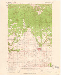 1957 Goldendale1959 Print · USGSMid-century Klickitat County comes alive in this survey of the Goldendale area during its post-war growth. Genealogists and historians can trace local landmarks like Orchard Heights School, the A J Bolon Historic Monument, and the rural settlement of Blockhouse.2 unique versions available
 - 1980 Map of Goldendale, 1981 Print
 1980 Goldendale1981 Print · USGSThe Columbia River corridor in the 1980s was a critical junction of rail, water, and highway commerce between Washington and Oregon. Genealogists and historians can trace riverside settlements like Wishram, high-country towns like Bickleton, and the grounds of the Maryhill Museum.
 - 1983 Map of Centerville
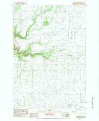 1983 Centerville1983 Print · USGSCenterville and the high prairies of Klickitat County are documented here in the early eighties as the agricultural valley floor meets the river breaks. Researchers can trace the layout of Blockhouse, locate the Goldendale Trout Hatchery, and find the old Drive In Theater.
 - 2011 Map of Centerville, 2011 Print
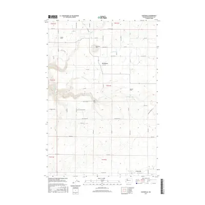
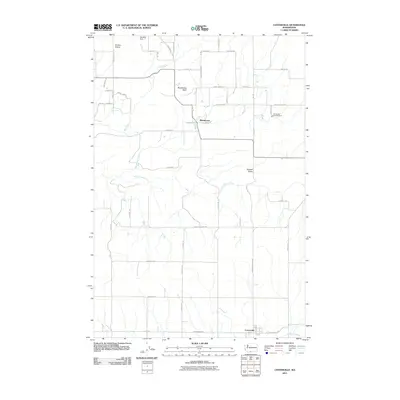 2011 Centerville2011 Print · USGSCovers Blockhouse, including Centerville, Klickitat County, and other nearby areas
 - 2013 Map of Centerville, 2013 Print
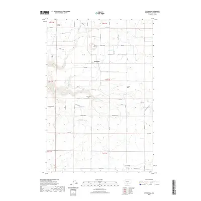
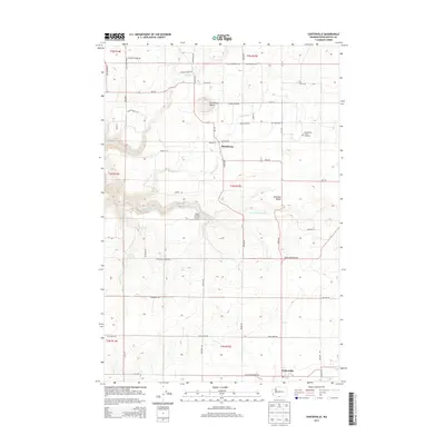 2013 Centerville2013 Print · USGSCovers Blockhouse, including Centerville, Klickitat County, and other nearby areas
 - 2017 Map of Centerville, 2017 Print
 2017 Centerville2017 Print · USGSCovers Blockhouse, including Centerville, Klickitat County, and other nearby areas
 - 2020 Map of Centerville, 2020 Print
 2020 Centerville2020 Print · USGSCovers Blockhouse, including Centerville, Klickitat County, and other nearby areas
 - 2023 Map of Centerville, 2023 Print
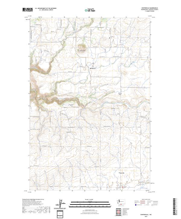 2023 Centerville2023 Print · USGSThe Centerville Valley in the modern era remains a landscape of ranching and remote settlement. Genealogists and local historians can trace family-named routes and landmarks like Spring Creek Cem, Piper Canyon Airport, and the community of Blockhouse.
End of results
Showing maps 1-11 of 11
Top cities near Blockhouse
Frequently asked questions
- What are the different types of historical maps available for Blockhouse?
- What is the oldest map of Blockhouse?
- Where can I purchase historical maps of Blockhouse for my home or office?
- Where can I download high-res historical maps of Blockhouse?
- Are there historical topographic maps available for Blockhouse?
- Is there historical aerial imagery available for Blockhouse?
- Where are historical maps of Blockhouse sourced from?