Old Maps of Centralia, Washington for Hiking & Exploration
Hike through history with 35 historic maps of Centralia. Explore old trails, ghost towns, and forgotten backroads — perfect for outdoor adventurers and local explorers.
- Rediscover forgotten places: Map out old mining camps, roads, and footpaths that no longer exist on modern maps.
- Layer with modern tools: Combine with LiDAR or satellite views to plan hikes through historical terrain.
- Made for exploration: Popular among hikers, overlanders, and local history lovers.
Use these maps to find adventure and explore the hidden past of Centralia.
Centralia, WA maps
(35)- 1916 Map of Chehalis
 1916 Chehalis1916 Print · USGSDuring a period of rapid development along the Chehalis and Skookumchuck Rivers, these valleys supported a thriving network of timber camps and rail towns. Genealogists can trace family landmarks like Logan Hill School, the Centralia Seminary, and the Salmon Creek Mill.4 unique versions available
 - 1940 Map of Tenino
 1940 Tenino1940 Print · USGSThurston County’s rail and timber landscape is documented here at the start of the 1940s, showing a critical intersection of three major railroads. Genealogists and local historians can trace the rural school districts of Spurgeon Creek Sch and the industrial footprint of the Panama Lumber & Shingle Co.
 - 1941 Map of Meskill
 1941 Meskill1941 Print · USGSLewis County at the start of the Second World War shows a landscape defined by timber camps and river valleys. Genealogists can trace family roots through Claquato Cem or follow the vanished operations of Schafer Bros Logging Camp No 10.2 unique versions available
 - 1944 Map of Tenino
 1944 Tenino1944 Print · USGSThurston County and the Lewis County border are captured in the mid-1940s, highlighting a landscape shaped by coal mining and heavy rail. Genealogists and historians can trace the positions of old schools like Cattail Sch, local landmarks such as the Oregon Trail Monument, and mining sites including Tono Mine No 1.
 - 1949 Map of Tenino, 1958 Print
 1949 Tenino1958 Print · USGSThe Tenino region of Washington is captured here in the late 1940s as a bustling corridor of rail lines and expansive prairies. Researchers can trace historic coal mining at Monarch Mines, locate the Oregon Trail Monument, or find rural landmarks like Violet Prairie Church.2 unique versions available
 - 1953 Map of Hoquiam
 1953 Hoquiam1953 Print · USGSSouthwest Washington in the early fifties shows a landscape shaped by timber, rail, and river commerce from the coast to the Cascades. Genealogists and historians can trace the development of timber towns like Ryderwood and the industrial hubs of Hoquiam and Kelso.2 unique versions available
 - 1953 Map of Adna, 1955 Print
 1953 Adna1955 Print · USGSWestern Lewis County's river-and-rail landscape is captured here in the early fifties, showing the communities along the Chehalis River. Researchers can locate family landmarks like Boistfort Sch, Claquato Cemetery, and the Crego Grange.3 unique versions available
 - 1954 Map of Centralia, 1956 Print
 1954 Centralia1956 Print · USGSCentralia and Chehalis thrive at the intersection of major rail lines and rivers during the mid-fifties. Researchers can trace the layout of old settlements and sites like Berwick, Evaline, and Mendota, or locate the historic Jackson Prairie Courthouse.2 unique versions available
 - 1957 Map of Hoquiam
 1957 Hoquiam1957 Print · USGSCoastal timber ports and inland rail hubs define Southwest Washington during the late fifties. Genealogists can trace early twentieth-century settlements like Bordeaux, Tono, and Cosmopolis alongside the expanding tracks of the Northern Pacific.
 - 1958 Map of Hoquiam, 1969 Print
 1958 Hoquiam1969 Print · USGSSouthwest Washington and the Columbia River estuary appear here in the mid-century, before major landscape shifts. Researchers can trace the rail lines of the Northern Pacific, locate the Fort Henness Site, or explore the Naselle Air Force Station.2 unique versions available
 - 1959 Map of Tenino SW, 1966 Print
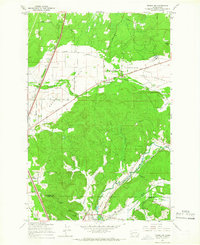 1959 Tenino SW1966 Print · USGSThe prairies of southern Thurston County meet the coal-rich hills of the Lewis County line during the mid-century. Genealogists and industrial historians can trace the paths of the Northern Pacific Railroad and locate family-named sites like the Monarch Mine, Stoker Mine, or Bucoda.2 unique versions available
 - 1959 Map of Tenino, 1967 Print
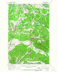 1959 Tenino1967 Print · USGSSouthern Thurston County's river-and-rail corridor is captured here during the late fifties, showing the industrial connection between the coal mines and the valley towns. Genealogists and historians can trace family-named sites like Kellys Korner or locate old community hubs such as Grange Hall and the settlement of Tono.
 - 1962 Map of Hoquiam
 1962 Hoquiam1962 Print · USGSSouthwest Washington in the late fifties is defined by the bustling timber ports of Hoquiam and the rail-linked commerce of the interior valleys. Genealogists and historians can trace the early footprints of settlements like Raymond and Pe Ell, or locate family sites at Grand Mound Cem and Odd Fellows Cem.
 - 1964 Map of Tenino, 1965 Print
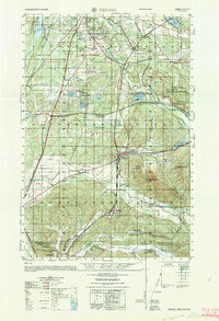 1964 Tenino1965 Print · USGSThurston and Lewis Counties are captured in the mid-1960s as timber, coal mining, and rail transport defined the local economy. Researchers can find old grange halls, several coal operations like the Black Diamond Coal Mine, and the historic Oregon Trail Monument near Tenino.
 - 1975 Map of Centralia NW, 1978 Print
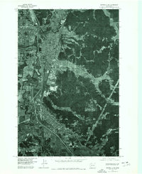 1975 Centralia NW1978 Print · USGSThe Lewis County corridor between Centralia and Chehalis is revealed in mid-1970s aerial detail just before modern development changed the valley. Local historians can trace the meandering paths of the Skookumchuck River and Chehalis River past Fords Prairie.2 unique versions available
 - 1980 Map of Centralia
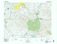 1980 Centralia1980 Print · USGSThe rail and river corridors of southwestern Washington are captured here in the late twentieth century, showing the region's transition from resource extraction to managed forest land. Researchers can trace the industrial footprint of the Stoker Mine, the rails of the Union Pacific, and the early development of Centralia and Chehalis.
 - 1985 Map of Centralia
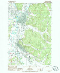 1985 Centralia1985 Print · USGSCentralia and Chehalis are shown in the mid-1980s as they expanded along the river valleys and major rail lines. Genealogists and historians can trace local landmarks like Greenwood Cem, Fern Hill Cem, and the old rail nexus at Chehalis Junction.2 unique versions available
 - 1986 Map of Adna
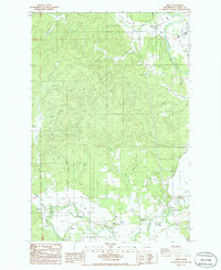 1986 Adna1986 Print · USGSLewis County in the mid-1980s reveals a landscape shaped by the Chehalis River and the timbered heights of the Pacific Northwest. Genealogists and local historians can trace family-named sites and rural clusters including Adna, Claquato, and the Lincoln Creek Valley.2 unique versions available
 - 1990 Map of Violet Prairie, 1995 Print
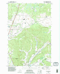 1990 Violet Prairie1995 Print · USGSThurston and Lewis counties come together in this 1990s survey of the prairie landscapes south of the state capital. Genealogists can trace early mining operations at Monarch Mine or locate families near Bucoda and Violet.
 - 1992 Map of Chehalis River, 1993 Print
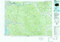 1992 Chehalis River1993 Print · USGSThe Chehalis River valley and the timberlands of the Black Hills are captured here in the early nineties. Researchers can trace rail-and-river history through Montesano and Raymond, or locate the unique Mima Mounds and Bordeaux.2 unique versions available
 - 2011 Map of Centralia, 2011 Print
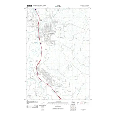 2011 Centralia2011 Print · USGSThe Twin Cities of Centralia and Chehalis are shown at the turn of the millennium, centered on the confluence of the Skookumchuck River and Chehalis River. Researchers can trace the development of local neighborhoods and find sites like Washington Lawn Cemetery and the Centralia College Clock Tower.
 - 2011 Map of Adna, 2011 Print
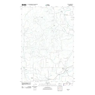 2011 Adna2011 Print · USGSLewis County at the start of the twenty-first century reveals a resilient pattern of valley settlements and upland creeks. Genealogists and local historians can trace family locations near the Claquato Cemetery and small communities like Adna, Littell, and Galvin.
 - 2011 Map of Violet Prairie, 2011 Print
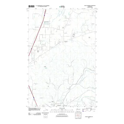 2011 Violet Prairie2011 Print · USGSNorth of Centralia in the early twenty-first century, this landscape is a patchwork of prairie lands and industrial history. Researchers can trace the coal-mining legacy at the Monarch Mine and Majestic Mine or locate smaller settlements like Sunnydale and Foran.
 - 2013 Map of Violet Prairie, 2013 Print
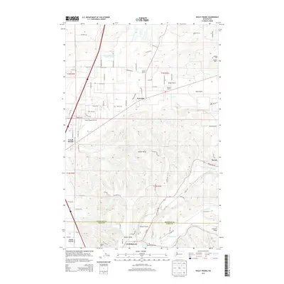 2013 Violet Prairie2013 Print · USGSThe Centralia and Bucoda region at the turn of the 21st century reveals a landscape of glacial prairies and river valleys. Researchers can trace the rural layout of Grand Mound, Violet Prairie, and the aviation history of Sorrell Airport and Wissler's Airport.
 - 2014 Map of Adna, 2014 Print
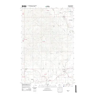 2014 Adna2014 Print · USGSLewis County as it appeared in the early 21st century shows the persistent layout of river-valley settlements along the Chehalis River. You can trace genealogical roots at the Claquato Cem or explore the rural surroundings of Adna, Littell, and Galvin.
Showing maps 1-25 of 35
Top cities near Centralia
- Tumwater historical maps
- Chehalis historical maps
- Grand Mound historical maps
- Rochester historical maps
- Napavine historical maps
- Tenino historical maps
See more
Frequently asked questions
- What are the different types of historical maps available for Centralia?
- What is the oldest map of Centralia?
- Where can I purchase historical maps of Centralia for my home or office?
- Where can I download high-res historical maps of Centralia?
- Are there historical topographic maps available for Centralia?
- Is there historical aerial imagery available for Centralia?
- Where are historical maps of Centralia sourced from?