Old Maps of Winlock, Washington for Hiking & Exploration
Hike through history with 21 historic maps of Winlock. Explore old trails, ghost towns, and forgotten backroads — perfect for outdoor adventurers and local explorers.
- Rediscover forgotten places: Map out old mining camps, roads, and footpaths that no longer exist on modern maps.
- Layer with modern tools: Combine with LiDAR or satellite views to plan hikes through historical terrain.
- Made for exploration: Popular among hikers, overlanders, and local history lovers.
Use these maps to find adventure and explore the hidden past of Winlock.
Winlock, WA maps
(21)- 1916 Map of Chehalis
 1916 Chehalis1916 Print · USGSDuring a period of rapid development along the Chehalis and Skookumchuck Rivers, these valleys supported a thriving network of timber camps and rail towns. Genealogists can trace family landmarks like Logan Hill School, the Centralia Seminary, and the Salmon Creek Mill.4 unique versions available
 - 1941 Map of Olequa
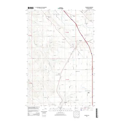
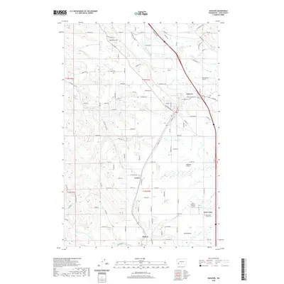
 1941 Olequa1941 Print · USGSSouthwestern Washington on the eve of the Second World War shows a landscape defined by the Cowlitz River and the Northern Pacific rail line. Genealogists can trace early homesteads along Winlock to Toledo Road or locate family roots near St Francis Mission and Silver Lake.
 - 1953 Map of Hoquiam
 1953 Hoquiam1953 Print · USGSSouthwest Washington in the early fifties shows a landscape shaped by timber, rail, and river commerce from the coast to the Cascades. Genealogists and historians can trace the development of timber towns like Ryderwood and the industrial hubs of Hoquiam and Kelso.2 unique versions available
 - 1953 Map of Castle Rock, 1955 Print
 1953 Castle Rock1955 Print · USGSThe Cowlitz River valley in the early fifties shows a busy corridor of rail lines and river settlements. Genealogists can locate several family cemeteries and former rural school sites like the Wayside Sch and Lone Hill Cemetery near Toledo.2 unique versions available
 - 1954 Map of Centralia, 1956 Print
 1954 Centralia1956 Print · USGSCentralia and Chehalis thrive at the intersection of major rail lines and rivers during the mid-fifties. Researchers can trace the layout of old settlements and sites like Berwick, Evaline, and Mendota, or locate the historic Jackson Prairie Courthouse.2 unique versions available
 - 1957 Map of Hoquiam
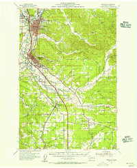
 1957 Hoquiam1957 Print · USGSCoastal timber ports and inland rail hubs define Southwest Washington during the late fifties. Genealogists can trace early twentieth-century settlements like Bordeaux, Tono, and Cosmopolis alongside the expanding tracks of the Northern Pacific.
 - 1958 Map of Hoquiam, 1969 Print
 1958 Hoquiam1969 Print · USGSSouthwest Washington and the Columbia River estuary appear here in the mid-century, before major landscape shifts. Researchers can trace the rail lines of the Northern Pacific, locate the Fort Henness Site, or explore the Naselle Air Force Station.2 unique versions available
 - 1962 Map of Hoquiam
 1962 Hoquiam1962 Print · USGSSouthwest Washington in the late fifties is defined by the bustling timber ports of Hoquiam and the rail-linked commerce of the interior valleys. Genealogists and historians can trace the early footprints of settlements like Raymond and Pe Ell, or locate family sites at Grand Mound Cem and Odd Fellows Cem.
 - 1980 Map of Centralia
 1980 Centralia1980 Print · USGSThe rail and river corridors of southwestern Washington are captured here in the late twentieth century, showing the region's transition from resource extraction to managed forest land. Researchers can trace the industrial footprint of the Stoker Mine, the rails of the Union Pacific, and the early development of Centralia and Chehalis.
 - 1985 Map of Winlock
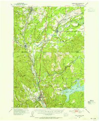
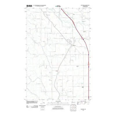
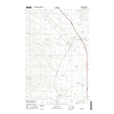
 1985 Winlock1985 Print · USGSIn the mid-eighties, the towns of Winlock and Vader remained vital hubs along the dual-rail corridor of Lewis County. Researchers can trace local genealogy and land use through landmarks like Little Falls Cemetery, Mt. St. Helens High Sch., and the forested slopes of Finn Hill.2 unique versions available
 - 1985 Map of Napavine
 1985 Napavine1985 Print · USGSThe Napavine and Evaline area in the mid-eighties shows a landscape of open prairies and river bottoms shaped by the railroad. Genealogists can trace family footprints through the Napavine Cem, the Evaline School, and the settlement at St Urban.2 unique versions available
 - 2011 Map of Napavine, 2011 Print
 2011 Napavine2011 Print · USGSCovers Winlock, including Napavine, Evaline, and other nearby areas
 - 2011 Map of Winlock, 2011 Print
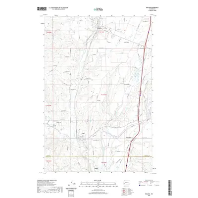
 2011 Winlock2011 Print · USGSCovers Winlock, including Vader, Cowlitz County, and other nearby areas
 - 2013 Map of Winlock, 2013 Print
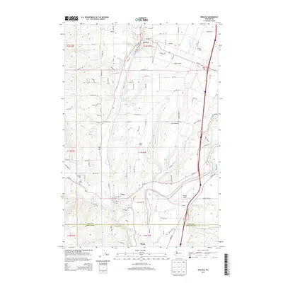 2013 Winlock2013 Print · USGSCovers Winlock, including Vader, Cowlitz County, and other nearby areas
 - 2014 Map of Napavine, 2014 Print
 2014 Napavine2014 Print · USGSCovers Winlock, including Napavine, Evaline, and other nearby areas
 - 2017 Map of Napavine, 2017 Print
 2017 Napavine2017 Print · USGSCovers Winlock, including Napavine, Evaline, and other nearby areas
 - 2017 Map of Winlock, 2017 Print
 2017 Winlock2017 Print · USGSCovers Winlock, including Vader, Cowlitz County, and other nearby areas
 - 2020 Map of Winlock, 2020 Print
 2020 Winlock2020 Print · USGSCovers Winlock, including Vader, Cowlitz County, and other nearby areas
 - 2020 Map of Napavine, 2020 Print
 2020 Napavine2020 Print · USGSCovers Winlock, including Napavine, Evaline, and other nearby areas
 - 2023 Map of Winlock, 2023 Print
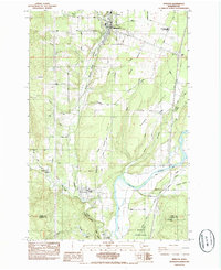
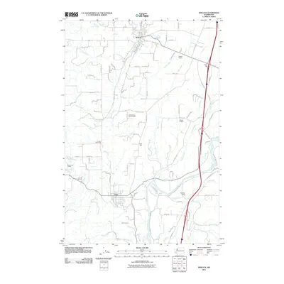
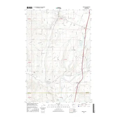
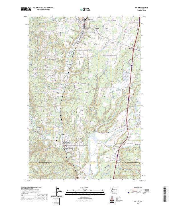 2023 Winlock2023 Print · USGSThe Lewis County rail corridor and the Cowlitz River valley are captured here in the early twenty-first century. Researchers can trace historic cemeteries and small-town plats from Winlock down to Vader, alongside landmarks like Barnes State Park and Olequa Creek.
 - 2023 Map of Napavine, 2023 Print
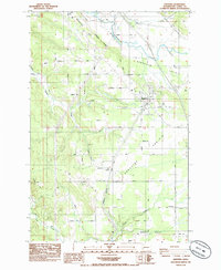
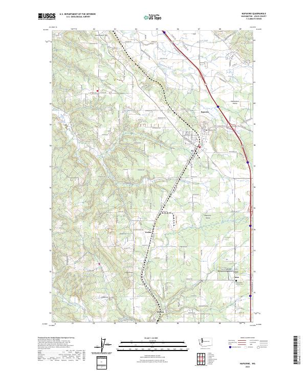 2023 Napavine2023 Print · USGSCentral Lewis County is shown here in the 2020s, dominated by the transport corridor between Napavine and Winlock. Researchers can trace old homesteads and local landmarks like the Saint Urban Catholic Cem and Pilot's Pastures Airport.
End of results
Showing maps 1-21 of 21
Top cities near Winlock
- Centralia historical maps
- Chehalis historical maps
- Castle Rock historical maps
- Napavine historical maps
- Toledo historical maps
- Onalaska historical maps
See more
Frequently asked questions
- What are the different types of historical maps available for Winlock?
- What is the oldest map of Winlock?
- Where can I purchase historical maps of Winlock for my home or office?
- Where can I download high-res historical maps of Winlock?
- Are there historical topographic maps available for Winlock?
- Is there historical aerial imagery available for Winlock?
- Where are historical maps of Winlock sourced from?