2020s Maps of Anacortes, Washington
Explore 8 historic maps of Anacortes from the 2020s. These maps offer a rare glimpse into what life looked like during the 2020s — showing old roads, neighborhoods, homes, and landmarks that have changed or disappeared over time.
Whether you're researching your family's past, planning a metal detecting trip, or studying how Anacortes's landscape evolved across the 2020s, these high-resolution maps are a powerful tool for exploring the history of this region.
- Focus on a specific era: All maps on this page are from the 2020s, giving you a focused view of this time period.
- See what’s changed: Compare century-old streets, trails, and buildings to today's modern landscape using overlays and satellite layers.
- Research with precision: Use these maps for genealogy, historical research, land use analysis, or educational projects.
- View, download, or print: Maps are fully viewable online in high resolution, and can be downloaded or printed for your own records.
Start exploring Anacortes's history through authentic maps from the 2020s. This is your window into the past.
Anacortes, WA maps
(8)- 2020 Map of Anacortes South, 2020 Print
 2020 Anacortes South2020 Print · USGSCovers Anacortes, including La Conner, Howards Corner, and other nearby areas
 - 2020 Map of Deception Pass, 2020 Print
 2020 Deception Pass2020 Print · USGSCovers Anacortes, including Cornet, Rosario Beach, and other nearby areas
 - 2020 Map of Cypress Island, 2020 Print
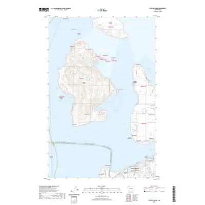 2020 Cypress Island2020 Print · USGSCovers Anacortes, including Indian Village, Urban, and other nearby areas
 - 2020 Map of Anacortes North, 2020 Print
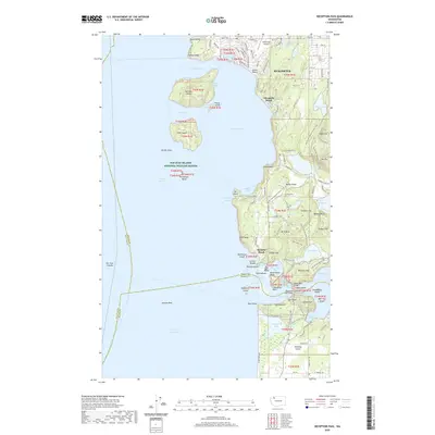
 2020 Anacortes North2020 Print · USGSCovers Anacortes, including Samish Island, Guemes, and other nearby areas
 - 2023 Map of Anacortes North, 2023 Print
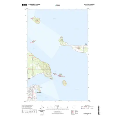
 2023 Anacortes North2023 Print · USGSThe northern waters of Skagit County appear in detail during the early 2020s, centering on the maritime hub of Anacortes. Genealogists and historians can trace the island communities of Guemes Island and Samish Island, linked by the Guemes Island Ferry.
 - 2023 Map of Anacortes South, 2023 Print
 2023 Anacortes South2023 Print · USGSCoastal Skagit County is mapped here in the early twenty-first century, showing the intricate waterways between Fidalgo and Whidbey Islands. Researchers can trace land boundaries near Swinomish Village, locate Swinomish Cem, or explore the road network near Anacortes.
 - 2023 Map of Cypress Island, 2023 Print
 2023 Cypress Island2023 Print · USGSThe northern Puget Sound islands are surveyed here in the early twenty-first century, showing the ferry routes and remote harbor settlements of Skagit County. Researchers can trace land markers like Edens Cem on Guemes Island or the maritime reaches of Eagle Harbor and Indian Village.
 - 2023 Map of Deception Pass, 2023 Print
 2023 Deception Pass2023 Print · USGSThe northern tip of Whidbey Island and the southern reaches of Anacortes meet at this famous maritime passage. Trace the residential growth at Anaco Beach or explore the protected lands of Burrows Island and the heights of Mt Erie.
End of results
Showing maps 1-8 of 8
Top cities near Anacortes
Top neighborhoods of Anacortes
Frequently asked questions
- What are the different types of historical maps available for Anacortes?
- What is the oldest map of Anacortes?
- Where can I purchase historical maps of Anacortes for my home or office?
- Where can I download high-res historical maps of Anacortes?
- Are there historical topographic maps available for Anacortes?
- Is there historical aerial imagery available for Anacortes?
- Where are historical maps of Anacortes sourced from?