Old Maps of Deception Pass Shores, Washington
Explore 12 old maps of Deception Pass Shores, spanning from 1943 to today. These high-resolution historic maps reveal how streets, neighborhoods, landmarks, and natural features evolved over time — perfect for genealogy, metal detecting, research, and local history exploration.
What you can do with these maps:
- See how Deception Pass Shores changed over time: Compare historical maps to modern-day views to trace roads, homesites, rail lines & more.
- View detailed metadata: Each map includes creators, publishers, year, scale, and archive source.
- Overlay maps with satellite & LiDAR: Visualize the past alongside modern tools to explore terrain & human change.
- Trusted historical sources: Maps sourced from the USGS, Library of Congress, and other archives.
- Access maps your way: View online, download high-res files, or order prints for personal or research use.
Start exploring old maps of Deception Pass Shores to uncover forgotten places, hidden landmarks, and the deep history beneath your feet.
Deception Pass Shores, WA maps
(12)- 1943 Map of Deception Pass
 1943 Deception Pass1943 Print · USGSFidalgo and Whidbey Islands are shown in the early 1940s, highlighting the maritime and rail connections of Puget Sound. Researchers can trace the boundaries of the Swinomish Indian Reservation or locate early schools like Fidalgo Sch and Dewey Sch.
 - 1951 Map of Deception Pass, 1953 Print
 1951 Deception Pass1953 Print · USGSWhidbey and Fidalgo Islands appear here in the early fifties as the region's naval and agricultural identities merged. Genealogists and local historians can trace early schools and coastal landmarks like Rosario School, Fort Whitman, and the village of La Conner.3 unique versions available
 - 1957 Map of Victoria, 1960 Print
 1957 Victoria1960 Print · USGSThe San Juan Islands and the North Cascades coastline are shown in detail during the late fifties, a period of significant military and industrial presence. Researchers can trace historic rail lines like the Great Northern or locate sites such as the Whidbey Island Naval Air Sta and Friday Harbor.4 unique versions available
 - 1975 Map of Port Townsend, 1977 Print
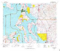 1975 Port Townsend1977 Print · USGSThe northern Puget Sound in the mid-seventies shows a landscape of military readiness and maritime industry. Researchers can trace the extensive Whidbey Island Naval Air Station or locate historic coastal defenses at Fort Casey Military Res and Fort Ebey Military Res.
 - 1978 Map of Deception Pass, 1986 Print
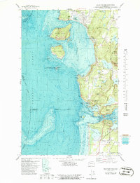 1978 Deception Pass1986 Print · USGSThe islands of Fidalgo and Whidbey meet at the turbulent waters of Deception Pass during the late seventies. Researchers can trace local landmarks like the Cemetery, Mt Erie, and the coastal Coast Guard Res.
 - 1993 Map of Port Townsend
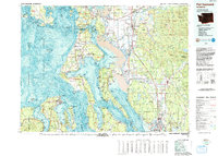 1993 Port Townsend1993 Print · USGSThe Puget Sound and Whidbey Island are captured in the early nineties, showing a landscape defined by naval aviation and maritime trade. Genealogists and local historians can trace the development of Oak Harbor and Coupeville or locate family sites near the Arlington Municipal Cemetery and Ault Field.
 - 1998 Map of Deception Pass, 2002 Print
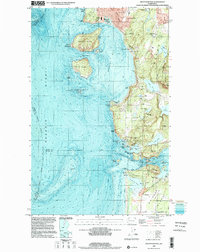 1998 Deception Pass2002 Print · USGSThe northern tip of Whidbey Island meets Fidalgo Island in the late nineties, documenting the critical maritime junction of Deception Pass. Trace the local geography from the peak of Mt Erie to the residential streets of Anacortes and Rosario Beach.
 - 2011 Map of Deception Pass, 2011 Print
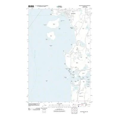 2011 Deception Pass2011 Print · USGSCoastal Fidalgo Island and the northern tip of Whidbey Island are captured here during the first decade of the 2000s. Marine historians and genealogists can trace the Burrows Island Lighthouse, the reach of Anaco Beach, and the iconic Deception Pass Bridge.
 - 2014 Map of Deception Pass, 2014 Print
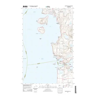 2014 Deception Pass2014 Print · USGSFidalgo Island and the surrounding waters of Puget Sound are shown here during a period of modern coastal development and preservation. Researchers can trace historical maritime infrastructure and landmarks like the Burrows Island Lighthouse, Deception Pass Bridge, and the Anacortes Airport.
 - 2017 Map of Deception Pass, 2017 Print
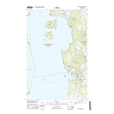 2017 Deception Pass2017 Print · USGSThe rugged interface of Fidalgo and Whidbey Islands is captured here in the late twenty-tens, showing the complex coastline of the Puget Sound. Maritime researchers can trace the hazardous currents of Deception Pass and locate remote landmarks like Williamson Rocks and Burrows Island.
 - 2020 Map of Deception Pass, 2020 Print
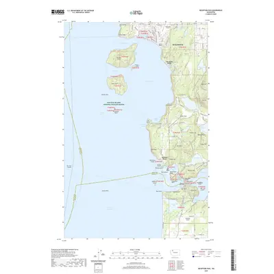 2020 Deception Pass2020 Print · USGSFidalgo Island and the northern tip of Whidbey Island are shown here in the 2020s, a landscape defined by dramatic marine passages and protected wildlands. You can trace the trails of Deception Pass State Park and locate island landmarks like Ben Ure Island and Anaco Beach.
 - 2023 Map of Deception Pass, 2023 Print
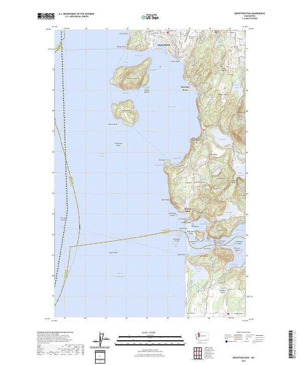 2023 Deception Pass2023 Print · USGSThe northern tip of Whidbey Island and the southern reaches of Anacortes meet at this famous maritime passage. Trace the residential growth at Anaco Beach or explore the protected lands of Burrows Island and the heights of Mt Erie.
End of results
Showing maps 1-12 of 12
Frequently asked questions
- What are the different types of historical maps available for Deception Pass Shores?
- What is the oldest map of Deception Pass Shores?
- Where can I purchase historical maps of Deception Pass Shores for my home or office?
- Where can I download high-res historical maps of Deception Pass Shores?
- Are there historical topographic maps available for Deception Pass Shores?
- Is there historical aerial imagery available for Deception Pass Shores?
- Where are historical maps of Deception Pass Shores sourced from?