Old Maps of Hoogdal, Washington
Explore 11 old maps of Hoogdal, spanning from 1918 to today. These high-resolution historic maps reveal how streets, neighborhoods, landmarks, and natural features evolved over time — perfect for genealogy, metal detecting, research, and local history exploration.
What you can do with these maps:
- See how Hoogdal changed over time: Compare historical maps to modern-day views to trace roads, homesites, rail lines & more.
- View detailed metadata: Each map includes creators, publishers, year, scale, and archive source.
- Overlay maps with satellite & LiDAR: Visualize the past alongside modern tools to explore terrain & human change.
- Trusted historical sources: Maps sourced from the USGS, Library of Congress, and other archives.
- Access maps your way: View online, download high-res files, or order prints for personal or research use.
Start exploring old maps of Hoogdal to uncover forgotten places, hidden landmarks, and the deep history beneath your feet.
Hoogdal, WA maps
(11)- 1918 Map of Samish Lake
 1918 Samish Lake1918 Print · USGSCoastal Skagit and Whatcom counties appear here during the height of the early twentieth-century timber and rail era. Researchers can pinpoint long-standing landmarks like the Alger Shingle Mill, Blue Canyon, and the State Fish Hatchery.3 unique versions available
 - 1952 Map of Alger, 1954 Print
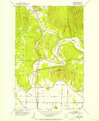 1952 Alger1954 Print · USGSSkagit County in the early fifties shows a landscape defined by riverside settlements and rural agriculture. You can trace early community life through the Silver Run Grange, locate the Belfast Sch (Aban'd), and find the State Salmon Hatchery along Friday Creek.4 unique versions available
 - 1954 Map of Samish Lake, 1960 Print
 1954 Samish Lake1960 Print · USGSCoastal Skagit and Whatcom Counties are captured here in the mid-fifties as rural settlements like Garden of Eden and Blue Canyon thrived alongside the growing college town of Bellingham. Genealogists can trace family landmarks like Belfast Sch, the Silver Run Grange Hall, and the Pierson Sch.
 - 1957 Map of Victoria, 1960 Print
 1957 Victoria1960 Print · USGSThe San Juan Islands and the North Cascades coastline are shown in detail during the late fifties, a period of significant military and industrial presence. Researchers can trace historic rail lines like the Great Northern or locate sites such as the Whidbey Island Naval Air Sta and Friday Harbor.4 unique versions available
 - 1975 Map of Bellingham, 1977 Print
 1975 Bellingham1977 Print · USGSNorthwest Washington in the mid-seventies is captured here, from the Canadian border at Blaine to the San Juan Islands. Researchers can trace tribal lands on the Lummi Indian Reservation, find rural settlements like Cokedale, or follow the Burlington Northern rail lines.
 - 1998 Map of Alger, 2003 Print
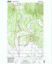 1998 Alger2003 Print · USGSSkagit County's foothills and river valleys are captured here at the close of the century, showing a transition from timbered slopes to agricultural prairies. Researchers can trace rural life through the Silver Run Grange, Belfast, and the State Salmon Hatchery.
 - 2011 Map of Alger, 2011 Print
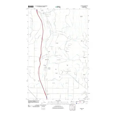 2011 Alger2011 Print · USGSCovers Hoogdal, including Sedro-Woolley, Belfast, and other nearby areas
 - 2014 Map of Alger, 2014 Print
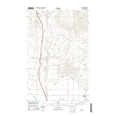 2014 Alger2014 Print · USGSCovers Hoogdal, including Sedro-Woolley, Belfast, and other nearby areas
 - 2017 Map of Alger, 2017 Print
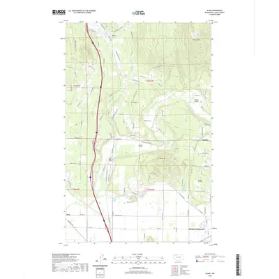
 2017 Alger2017 Print · USGSCovers Hoogdal, including Sedro-Woolley, Belfast, and other nearby areas
 - 2020 Map of Alger, 2020 Print
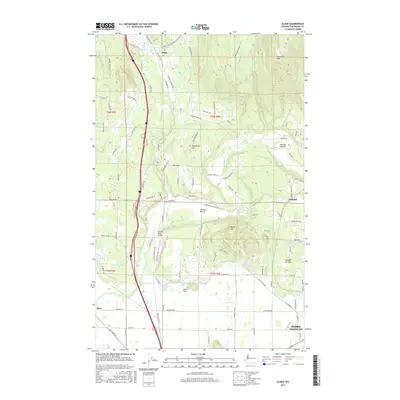
 2020 Alger2020 Print · USGSCovers Hoogdal, including Sedro-Woolley, Belfast, and other nearby areas
 - 2023 Map of Alger, 2023 Print
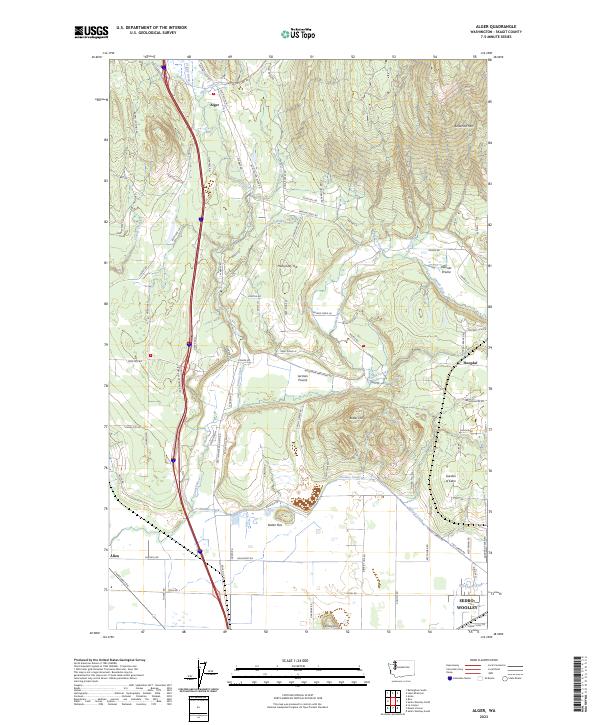 2023 Alger2023 Print · USGSSkagit County settlement patterns are on clear display in this recent survey of the Samish Valley and its surrounding foothills. Genealogists can trace family-named landmarks and small communities from Alger and Garden of Eden to the reaches of Anderson Mtn.
End of results
Showing maps 1-11 of 11
Top cities near Hoogdal
- Bellingham historical maps
- Mount Vernon historical maps
- Sedro-Woolley historical maps
- Burlington historical maps
Frequently asked questions
- What are the different types of historical maps available for Hoogdal?
- What is the oldest map of Hoogdal?
- Where can I purchase historical maps of Hoogdal for my home or office?
- Where can I download high-res historical maps of Hoogdal?
- Are there historical topographic maps available for Hoogdal?
- Is there historical aerial imagery available for Hoogdal?
- Where are historical maps of Hoogdal sourced from?