2000s (21st Century) Maps of Lake Stevens, Washington
Explore 20 historic maps of Lake Stevens from the 2000s (21st Century). These maps offer a rare glimpse into what life looked like during the 2000s — showing old roads, neighborhoods, homes, and landmarks that have changed or disappeared over time.
Whether you're researching your family's past, planning a metal detecting trip, or studying how Lake Stevens's landscape evolved across the 2000s, these high-resolution maps are a powerful tool for exploring the history of this region.
- Focus on a specific era: All maps on this page are from the 2000s, giving you a focused view of this time period.
- See what’s changed: Compare century-old streets, trails, and buildings to today's modern landscape using overlays and satellite layers.
- Research with precision: Use these maps for genealogy, historical research, land use analysis, or educational projects.
- View, download, or print: Maps are fully viewable online in high resolution, and can be downloaded or printed for your own records.
Start exploring Lake Stevens's history through authentic maps from the 2000s. This is your window into the past.
Lake Stevens, WA maps
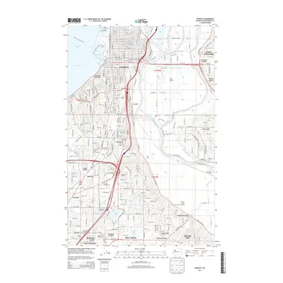
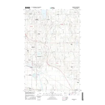
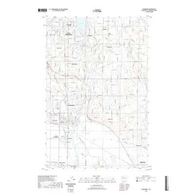
(20)- 2011 Map of Lake Stevens, 2011 Print
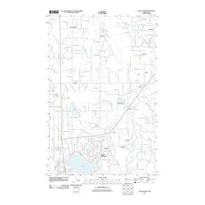 2011 Lake Stevens2011 Print · USGSCovers Lake Stevens, including Marysville, Getchell, and other nearby areas
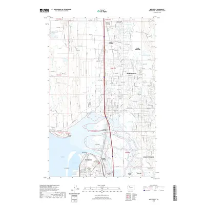
 - 2011 Map of Marysville, 2011 Print
 2011 Marysville2011 Print · USGSCovers Lake Stevens, including Everett, Marysville, and other nearby areas
 - 2011 Map of Snohomish, 2011 Print
 2011 Snohomish2011 Print · USGSCovers Lake Stevens, including Monroe, Snohomish, and other nearby areas
 - 2011 Map of Everett, 2011 Print
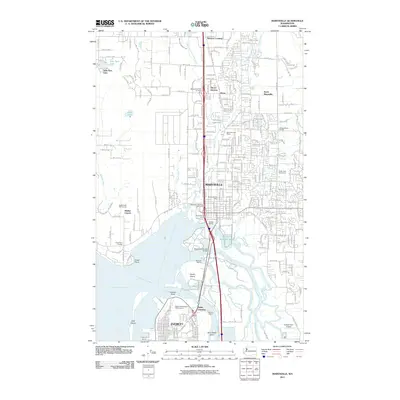
 2011 Everett2011 Print · USGSCovers Lake Stevens, including Everett, Mill Creek, and other nearby areas
 - 2014 Map of Everett, 2014 Print
 2014 Everett2014 Print · USGSCovers Lake Stevens, including Everett, Mill Creek, and other nearby areas
 - 2014 Map of Snohomish, 2014 Print
 2014 Snohomish2014 Print · USGSCovers Lake Stevens, including Monroe, Snohomish, and other nearby areas
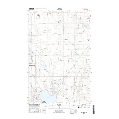
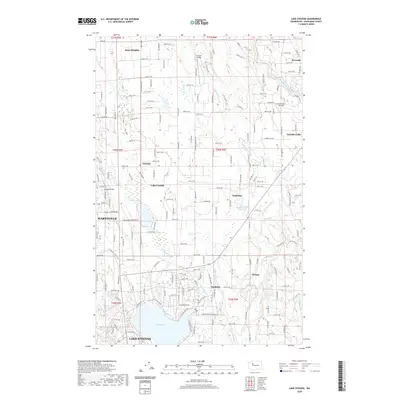
 - 2014 Map of Lake Stevens, 2014 Print
 2014 Lake Stevens2014 Print · USGSCovers Lake Stevens, including Marysville, Getchell, and other nearby areas
 - 2014 Map of Marysville, 2014 Print
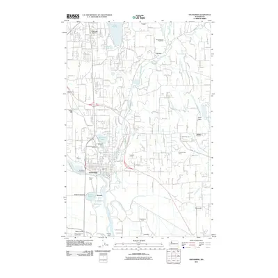
 2014 Marysville2014 Print · USGSCovers Lake Stevens, including Everett, Marysville, and other nearby areas
 - 2017 Map of Snohomish, 2017 Print
 2017 Snohomish2017 Print · USGSCovers Lake Stevens, including Monroe, Snohomish, and other nearby areas
 - 2017 Map of Everett, 2017 Print
 2017 Everett2017 Print · USGSCovers Lake Stevens, including Everett, Mill Creek, and other nearby areas
 - 2017 Map of Lake Stevens, 2017 Print
 2017 Lake Stevens2017 Print · USGSCovers Lake Stevens, including Marysville, Getchell, and other nearby areas
 - 2017 Map of Marysville, 2017 Print
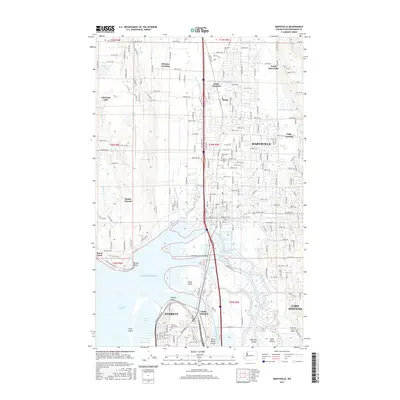 2017 Marysville2017 Print · USGSCovers Lake Stevens, including Everett, Marysville, and other nearby areas
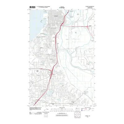
 - 2020 Map of Everett, 2020 Print
 2020 Everett2020 Print · USGSCovers Lake Stevens, including Everett, Mill Creek, and other nearby areas
 - 2020 Map of Snohomish, 2020 Print
 2020 Snohomish2020 Print · USGSCovers Lake Stevens, including Monroe, Snohomish, and other nearby areas
 - 2020 Map of Marysville, 2020 Print
 2020 Marysville2020 Print · USGSCovers Lake Stevens, including Everett, Marysville, and other nearby areas
 - 2020 Map of Lake Stevens, 2020 Print
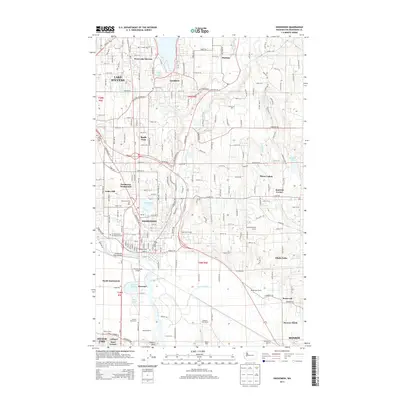
 2020 Lake Stevens2020 Print · USGSCovers Lake Stevens, including Marysville, Getchell, and other nearby areas
 - 2023 Map of Lake Stevens, 2023 Print
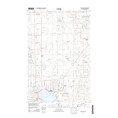
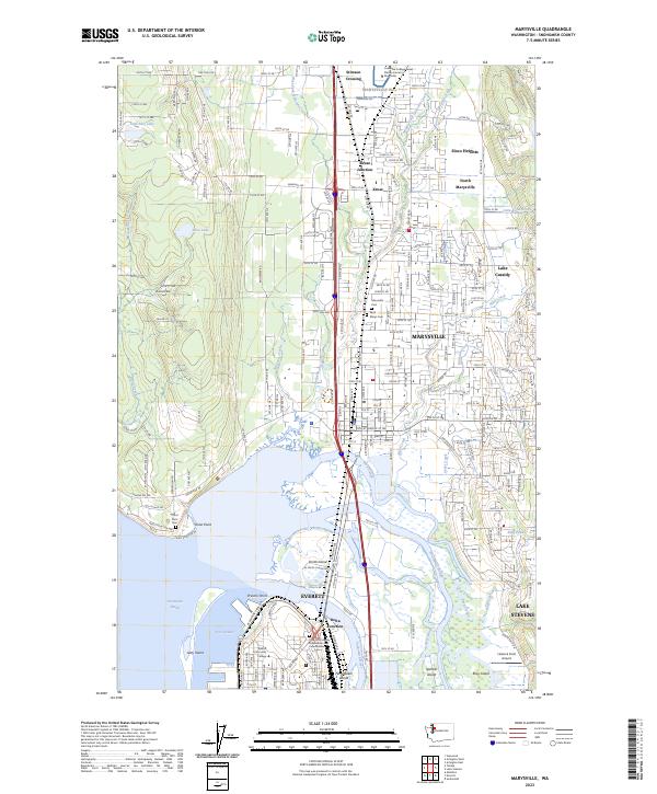
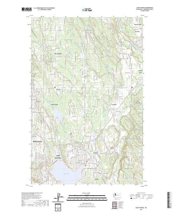 2023 Lake Stevens2023 Print · USGSSnohomish County’s landscape of glacial lakes and growing communities is captured in this recent survey. Local researchers can trace the modern boundaries of Lake Stevens and Marysville or locate landmarks like Frontier Airpark and Getchell Hill.
 - 2023 Map of Marysville, 2023 Print
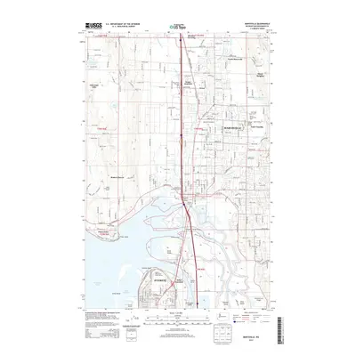
 2023 Marysville2023 Print · USGSMarysville and the Snohomish River delta appear in meticulous detail during this contemporary era of growth in Snohomish County. Genealogists and historians can trace local landmarks from Marysville Cem to the river islands like Smith Island and Spencer Island.
 - 2023 Map of Snohomish, 2023 Print
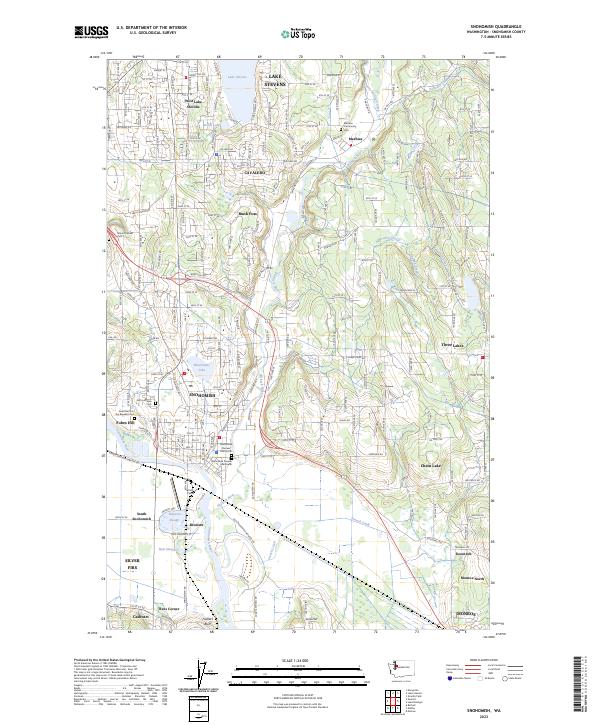 2023 Snohomish2023 Print · USGSThe Snohomish River valley and Lake Stevens area show a landscape of historic riverfront industry and growing residential hubs. Genealogists can locate several early burial sites like the Snohomish Pioneer Cem South and Machias Community Cem.
 - 2023 Map of Everett, 2023 Print
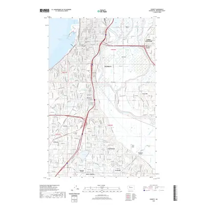
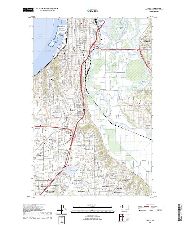 2023 Everett2023 Print · USGSThe Snohomish River delta and the urban growth of Everett are captured in this modern survey. Genealogists and local historians can trace legacy sites like Evergreen Cem, Jim & Julie's Airport, and the historic Snohomish County Courthouse.
End of results
Showing maps 1-20 of 20
Top cities near Lake Stevens
- Everett historical maps
- Marysville historical maps
- Shoreline historical maps
- Bothell historical maps
- Lynnwood historical maps
- Kenmore historical maps
See more
Top neighborhoods of Lake Stevens
- Hartford historical maps
- Pasadera Neighborhod historical maps
- Cavalero Corner historical maps
- West Lake Stevens historical maps
- West View Ridge historical maps
Frequently asked questions
- What are the different types of historical maps available for Lake Stevens?
- What is the oldest map of Lake Stevens?
- Where can I purchase historical maps of Lake Stevens for my home or office?
- Where can I download high-res historical maps of Lake Stevens?
- Are there historical topographic maps available for Lake Stevens?
- Is there historical aerial imagery available for Lake Stevens?
- Where are historical maps of Lake Stevens sourced from?