Old Maps of Lake Stevens, Washington for Genealogy
Trace your family roots with 38 historic maps of Lake Stevens. These high-res maps reveal old neighborhoods, homesites, landmarks, and streets — helping you uncover where your ancestors lived and how the area evolved over time.
- Explore historic neighborhoods: Identify where your relatives may have lived in the 1800s or 1900s.
- Compare maps over time: Trace the changes in streets, buildings, and landmarks for multi-generational research.
- Perfect for genealogy & ancestry research: Used by family historians and researchers to map out lineage and migration.
These maps are an incredible resource for exploring your personal connection to Lake Stevens's past.
Lake Stevens, WA maps
(38)- 1895 Map of Snohomish, 1954 Print
 1895 Snohomish1954 Print · USGSThe Puget Sound region in the late nineteenth century is documented here as Seattle and Everett rapidly expand via a growing rail network. Genealogists and historians can trace early waterfront settlements and inland junctions such as Mukilteo, Woodinville, and the grounds of Ft. Lawton.
 - 1897 Map of Seattle
 1897 Seattle1897 Print · USGSThe Puget Sound region is seen here in the late nineteenth century as the rail-and-water economy flourished. Genealogists and historians can trace early landings and rail stops like Curtis Landing, Moorland, and Kirkland Junction.10 unique versions available
 - 1911 Map of Mount Vernon
 1911 Mount Vernon1911 Print · USGSSkagit and Snohomish counties are shown here just after the turn of the century as the railroad and river networks fueled rapid growth. Researchers can trace historic transportation routes like the Anderson Ferry and the Monte Cristo RR through Mount Vernon and the Tulalip Indian Reservation.4 unique versions available
 - 1941 Map of Marysville, 1959 Print
 1941 Marysville1959 Print · USGSSnohomish County is captured here just before the mid-century, showing the vital rail-and-river networks connecting the Puget Sound to the Cascades. Trace family roots and vanished landmarks through early rural sites like Shoultes Sch, the Tulalip Indian Reservation, and Sisco Heights.
 - 1943 Map of Marysville
 1943 Marysville1943 Print · USGSSnohomish County thrived as a railroad and river hub during the early 1940s. Genealogists and local historians can trace rural schoolhouse locations like Shoultes Sch and early transit nodes such as Lakewood English Sta and Stimson Crossing.2 unique versions available
 - 1944 Map of Everett
 1944 Everett1944 Print · USGSMid-century Snohomish County shows a landscape of industrial riverfronts and rural schoolhouses during the Second World War. Genealogists can trace family names at Cypress Lawn Cem, locate the CCC Camp, or find old school sites like Forbes Sch.
 - 1953 Map of Snohomish, 1955 Print
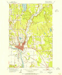 1953 Snohomish1955 Print · USGSSnohomish and the river valleys of the Pilchuck and Snohomish are caught in a period of post-war growth and industrial transit. Genealogists and local historians can locate family landmarks like the Fobes Sanatorium, Mt Carmel Cemetery, and the Pleasant View Ranch.5 unique versions available
 - 1953 Map of Everett, 1955 Print
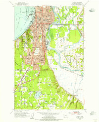 1953 Everett1955 Print · USGSMid-century Everett and its river sloughs are captured here during a period of significant post-war growth. Researchers can trace family sites at Evergreen Cemetery or locate early landmarks like the Childrens Home and the Sawmill.4 unique versions available
 - 1953 Map of Everett, 1958 Print
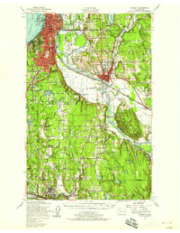 1953 Everett1958 Print · USGSSnohomish County and the northern edge of King County are shown here during the post-war expansion of the mid-fifties. Researchers can trace the legacy of the timber and rail era through landmarks like the Great Northern Railway, Snohomish Airfield, and the Marshland Sch (Aban'd).2 unique versions available
 - 1956 Map of Lake Stevens, 1957 Print
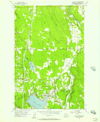 1956 Lake Stevens1957 Print · USGSMid-century Snohomish County is captured here at a time when the rural railroad towns were beginning to transition toward more residential lakeside life. Researchers can trace historical property lines and infrastructure around Hartford, Getchell, and the Northern Pacific rail line.5 unique versions available
 - 1956 Map of Marysville, 1957 Print
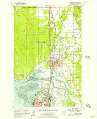 1956 Marysville1957 Print · USGSMid-century Marysville and the surrounding Snohomish River delta appear here during a period of steady growth and industrial activity. Researchers can trace the rail lines of the Great Northern, locate the Tulalip Storage Depot, and find local landmarks like Kellogg Marsh Grange.4 unique versions available
 - 1957 Map of Victoria, 1960 Print
 1957 Victoria1960 Print · USGSThe San Juan Islands and the North Cascades coastline are shown in detail during the late fifties, a period of significant military and industrial presence. Researchers can trace historic rail lines like the Great Northern or locate sites such as the Whidbey Island Naval Air Sta and Friday Harbor.4 unique versions available
 - 1958 Map of Seattle, 1966 Print
 1958 Seattle1966 Print · USGSThe Puget Sound region in the mid-fifties showcases a balance of urban growth and Olympic wilderness. Trace the industrial waterfronts of Tacoma, old naval facilities like Keyport Naval Res, and mountain peaks like Mount Constance.3 unique versions available
 - 1962 Map of Seattle
 1962 Seattle1962 Print · USGSThe Puget Sound region and Olympic Peninsula are shown at a peak of mid-century growth. Genealogists and historians can trace rail lines like the Pacific Coast RR or locate landmarks such as Fort Lawton and the Bothell Power Station.
 - 1975 Map of Seattle, 1977 Print
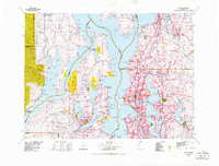 1975 Seattle1977 Print · USGSThe Puget Sound region in the mid-seventies shows a landscape of rapid suburban growth and vital maritime industry. Researchers can trace the development of Eastside hubs like Bellevue or examine the rail and naval infrastructure of Bremerton and Paine Field.
 - 1975 Map of Port Townsend, 1977 Print
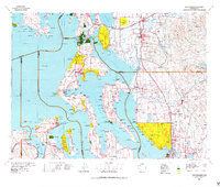 1975 Port Townsend1977 Print · USGSThe northern Puget Sound in the mid-seventies shows a landscape of military readiness and maritime industry. Researchers can trace the extensive Whidbey Island Naval Air Station or locate historic coastal defenses at Fort Casey Military Res and Fort Ebey Military Res.
 - 1992 Map of Seattle, 1993 Print
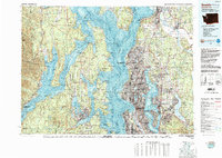 1992 Seattle1993 Print · USGSThe Seattle metropolitan area and Puget Sound are shown here in the early nineties during a period of rapid suburban and technological growth. Researchers can trace the development of Mercer Island, locate the Bangor Naval Submarine Base, and study the industrial layout of Boeing Field.2 unique versions available
 - 1993 Map of Port Townsend
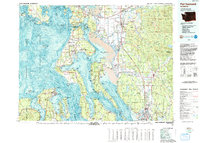 1993 Port Townsend1993 Print · USGSThe Puget Sound and Whidbey Island are captured in the early nineties, showing a landscape defined by naval aviation and maritime trade. Genealogists and local historians can trace the development of Oak Harbor and Coupeville or locate family sites near the Arlington Municipal Cemetery and Ault Field.
 - 2011 Map of Lake Stevens, 2011 Print
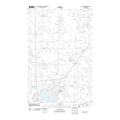 2011 Lake Stevens2011 Print · USGSSnohomish County is captured here just over a decade ago as the communities around Lake Stevens continued to evolve. Researchers can trace local landmarks like Lochsloy, the Paul Sevenich Boy Scout Camp, and the historic settlement at Hartford.
 - 2011 Map of Marysville, 2011 Print
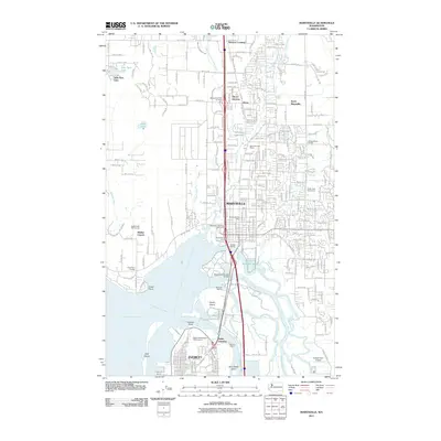 2011 Marysville2011 Print · USGSMarysville and the Snohomish River delta appear here during a period of significant suburban growth and maritime activity. Researchers can trace land use from the Shaker Church and Kellogg Marsh School to the complex sloughs surrounding Smith Island.
 - 2011 Map of Snohomish, 2011 Print
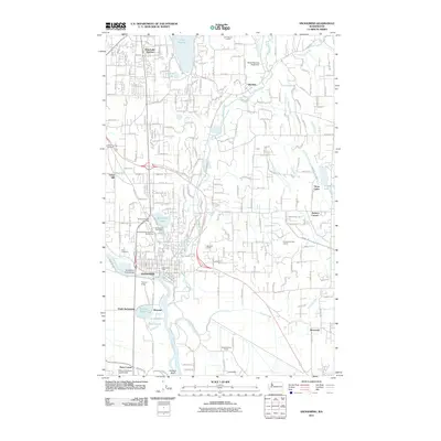 2011 Snohomish2011 Print · USGSSnohomish and the southern shores of Lake Stevens are documented here at a time of suburban expansion into the river valley. Researchers can trace family sites near Mount Carmel Cemetery or locate landmarks like Harvey Field and Machias.
 - 2011 Map of Everett, 2011 Print
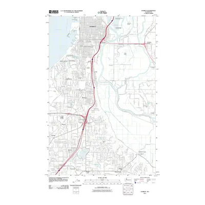 2011 Everett2011 Print · USGSThe industrial waterfront and river delta of Snohomish County are captured in detail during the early 2010s. Genealogists and local historians can trace the development of Everett and Lowell, identifying landmarks like Evergreen Cemetery and the Marshland School.
 - 2014 Map of Everett, 2014 Print
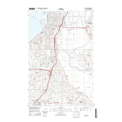 2014 Everett2014 Print · USGSThe industrial waterfront of Everett and the sloughs of the Snohomish River delta are captured here in the mid-2010s. Researchers can locate family landmarks like Evergreen Cem, trace the local dairy history at Spane Dairy, and find the Silver Lake Fairgrounds.
 - 2014 Map of Snohomish, 2014 Print
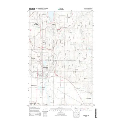 2014 Snohomish2014 Print · USGSThe Snohomish River Valley is captured here in the early twenty-first century, showing the established city alongside expanding residential hubs. Genealogists and researchers can trace local landmarks like Grand Army of the Republic Cem, Harvey Field Airport, and Jamison Corner.
 - 2014 Map of Lake Stevens, 2014 Print
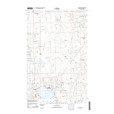 2014 Lake Stevens2014 Print · USGSSnohomish County enters the mid-2010s with a landscape defined by its lakes and river valleys. Researchers can trace the development of established communities like Hartford and Machias or explore landmarks such as Frontier Airpark and Lake Cassidy.
Showing maps 1-25 of 38
Top cities near Lake Stevens
- Everett historical maps
- Marysville historical maps
- Shoreline historical maps
- Bothell historical maps
- Lynnwood historical maps
- Kenmore historical maps
See more
Top neighborhoods of Lake Stevens
- Hartford historical maps
- Pasadera Neighborhod historical maps
- Cavalero Corner historical maps
- West Lake Stevens historical maps
- West View Ridge historical maps
Frequently asked questions
- What are the different types of historical maps available for Lake Stevens?
- What is the oldest map of Lake Stevens?
- Where can I purchase historical maps of Lake Stevens for my home or office?
- Where can I download high-res historical maps of Lake Stevens?
- Are there historical topographic maps available for Lake Stevens?
- Is there historical aerial imagery available for Lake Stevens?
- Where are historical maps of Lake Stevens sourced from?