Old Maps of Verlot, Washington for Metal Detecting
Plan your next treasure hunt with 12 historic maps of Verlot. Find old homesites, ghost towns, trails, and gathering spots that may be lost to time — perfect for identifying promising metal detecting locations.
- Locate forgotten sites: Uncover places like long-lost settlements, abandoned rail lines, or gathering spots.
- Plan better hunts: Use map overlays combined with LiDAR or satellite views to narrow in on historically rich areas.
- Made for detectorists: Thousands of hobbyists use these maps to discover relics, coins, and hidden history.
Use these historic maps to boost your research and find new opportunities beneath the surface of Verlot.
Verlot, WA maps
(12)- 1899 Map of Stillaguamish, 1955 Print
 1899 Stillaguamish1955 Print · USGSThe North Cascades foothills at the turn of the century are defined by the rapid expansion of rail lines and mining camps. Trace the early routes of the Everett & Monte Cristo Ry and locate early settlements like Silverton, Darrington, and Granite Falls.
 - 1901 Map of Stilaguamish
 1901 Stilaguamish1901 Print · USGSThe North Cascades at the close of the nineteenth century reveal a landscape of mining camps and pioneer river settlements. Genealogists and historians can trace early families in Silverton, Darrington, and the remote Mansford Prairie.6 unique versions available
 - 1955 Map of Concrete, 1967 Print
 1955 Concrete1967 Print · USGSThe North Cascades in the mid-fifties reveal a landscape of deep glacier-fed lakes and riverside timber towns. You can trace the Great Northern rail lines through Granite Falls or locate remote outposts like Stehekin and Marblemount along the Skagit and Chelan waters.
 - 1956 Map of Granite Falls, 1958 Print
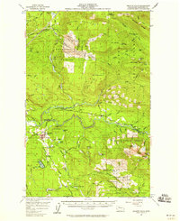 1956 Granite Falls1958 Print · USGSIn the mid-fifties, Granite Falls served as a vital hub for the timber and mining operations of the Stillaguamish River valley. Genealogists and historians can trace the early riverside outposts of Robe and Verlot, locate the Wayside Mine, or study the Naval Reservation atop the mountains.4 unique versions available
 - 1958 Map of Concrete
 1958 Concrete1958 Print · USGSThe North Cascades and Skagit Valley are captured here in the late fifties, showing a landscape defined by glacier-carved peaks and river-bottom settlements. Genealogists and historians can locate remote mining sites like Holden Mine and mountain outposts such as Stehekin, Marblemount, and Mazama.2 unique versions available
 - 1962 Map of Concrete
 1962 Concrete1962 Print · USGSThe Northern Cascades in the early sixties reveal a landscape of high alpine peaks and deep river valleys before the modern park era. Genealogists and historians can trace rail-and-river towns like Concrete, Darrington, and Stehekin, alongside industry at the Holden Mine.
 - 1989 Map of Verlot
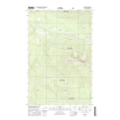
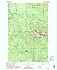 1989 Verlot1989 Print · USGSSnohomish County is shown at a time when mountain corridors and forest management shaped the local landscape. You can trace early infrastructure like the Lookout Tower and Fire Station, or locate old resource sites like the Gravel Pit and Robe.2 unique versions available
 - 2011 Map of Verlot, 2011 Print
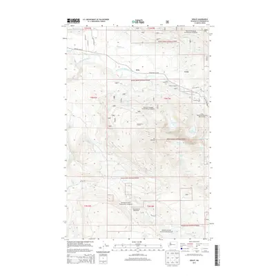
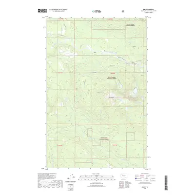
 2011 Verlot2011 Print · USGSCovers Verlot, including Robe, Snohomish County, and other nearby areas
 - 2014 Map of Verlot, 2014 Print
 2014 Verlot2014 Print · USGSCovers Verlot, including Robe, Snohomish County, and other nearby areas
 - 2017 Map of Verlot, 2017 Print
 2017 Verlot2017 Print · USGSCovers Verlot, including Robe, Snohomish County, and other nearby areas
 - 2020 Map of Verlot, 2020 Print
 2020 Verlot2020 Print · USGSCovers Verlot, including Robe, Snohomish County, and other nearby areas
 - 2023 Map of Verlot, 2023 Print
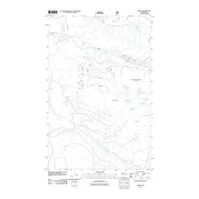
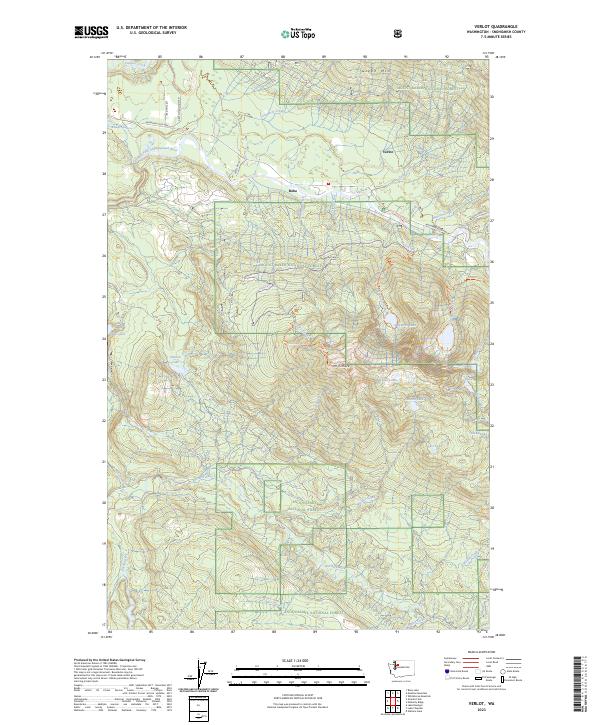 2023 Verlot2023 Print · USGSSnohomish County’s river valleys and high alpine peaks are mapped here in the early 2020s, showing the recreational landscape near Verlot. Researchers can trace forest trails to Mt Pilchuck or locate mountain waters like Heather Lake and Summit Lake.
End of results
Showing maps 1-12 of 12
Top cities near Verlot
- Everett historical maps
- Monroe historical maps
- Woods Creek historical maps
- Sultan historical maps
- Granite Falls historical maps
- Three Lakes historical maps
See more
Frequently asked questions
- What are the different types of historical maps available for Verlot?
- What is the oldest map of Verlot?
- Where can I purchase historical maps of Verlot for my home or office?
- Where can I download high-res historical maps of Verlot?
- Are there historical topographic maps available for Verlot?
- Is there historical aerial imagery available for Verlot?
- Where are historical maps of Verlot sourced from?