Old Maps of White Horse, Washington for Hiking & Exploration
Hike through history with 11 historic maps of White Horse. Explore old trails, ghost towns, and forgotten backroads — perfect for outdoor adventurers and local explorers.
- Rediscover forgotten places: Map out old mining camps, roads, and footpaths that no longer exist on modern maps.
- Layer with modern tools: Combine with LiDAR or satellite views to plan hikes through historical terrain.
- Made for exploration: Popular among hikers, overlanders, and local history lovers.
Use these maps to find adventure and explore the hidden past of White Horse.
White Horse, WA maps
(11)- 1899 Map of Stillaguamish, 1955 Print
 1899 Stillaguamish1955 Print · USGSThe North Cascades foothills at the turn of the century are defined by the rapid expansion of rail lines and mining camps. Trace the early routes of the Everett & Monte Cristo Ry and locate early settlements like Silverton, Darrington, and Granite Falls.
 - 1901 Map of Stilaguamish
 1901 Stilaguamish1901 Print · USGSThe North Cascades at the close of the nineteenth century reveal a landscape of mining camps and pioneer river settlements. Genealogists and historians can trace early families in Silverton, Darrington, and the remote Mansford Prairie.6 unique versions available
 - 1955 Map of Concrete, 1967 Print
 1955 Concrete1967 Print · USGSThe North Cascades in the mid-fifties reveal a landscape of deep glacier-fed lakes and riverside timber towns. You can trace the Great Northern rail lines through Granite Falls or locate remote outposts like Stehekin and Marblemount along the Skagit and Chelan waters.
 - 1958 Map of Concrete
 1958 Concrete1958 Print · USGSThe North Cascades and Skagit Valley are captured here in the late fifties, showing a landscape defined by glacier-carved peaks and river-bottom settlements. Genealogists and historians can locate remote mining sites like Holden Mine and mountain outposts such as Stehekin, Marblemount, and Mazama.2 unique versions available
 - 1962 Map of Concrete
 1962 Concrete1962 Print · USGSThe Northern Cascades in the early sixties reveal a landscape of high alpine peaks and deep river valleys before the modern park era. Genealogists and historians can trace rail-and-river towns like Concrete, Darrington, and Stehekin, alongside industry at the Holden Mine.
 - 1966 Map of Fortson, 1968 Print
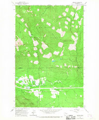 1966 Fortson1968 Print · USGSThe Stillaguamish River valley in the mid-1960s shows a landscape of mountain rail towns and National Forest timberland. Genealogists and hikers can locate Fortson, Swede Heaven, and the old Northern Pacific rail line.3 unique versions available
 - 2011 Map of Fortson, 2011 Print
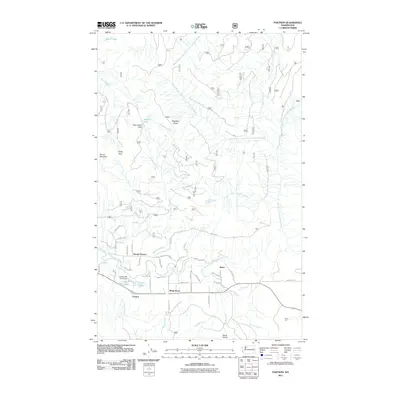 2011 Fortson2011 Print · USGSSettlements along the Stillaguamish River valley show a mix of residential growth and timber-industry history in the early twenty-first century. Genealogists and local historians can trace the foundations of Fortson, the Fortson Mill Pond, and the community of Swede Heaven.
 - 2014 Map of Fortson, 2014 Print
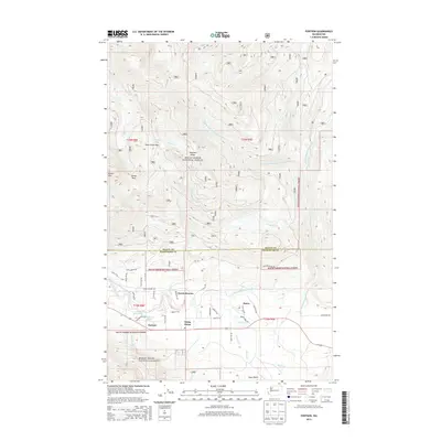 2014 Fortson2014 Print · USGSThe Stillaguamish river valley comes to life in this recent study of the Skagit and Snohomish county borderlands. Researchers can pinpoint historic activity near Fortson, Swede Heaven, and the industrial remains at Fortson Mill Pond.
 - 2017 Map of Fortson, 2017 Print
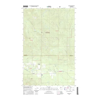 2017 Fortson2017 Print · USGSThe Stillaguamish River valley comes into focus during the late 2010s, showing the small communities of Swede Heaven and Fortson at the foot of the Cascades. Genealogists and local historians can trace family locations near Fortson Mill Pond or follow early roads into the Mount Baker National Forest.
 - 2020 Map of Fortson, 2020 Print
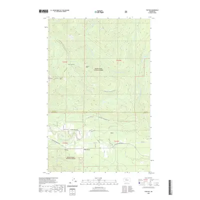 2020 Fortson2020 Print · USGSThe Stillaguamish River valley near the Snohomish-Skagit county line comes into focus in this recent survey, capturing the mountain-cradled communities of the North Cascades. Local historians can trace the geography of old timber hubs like Fortson and rural settlements such as Swede Heaven and White Horse.
 - 2023 Map of Fortson, 2023 Print
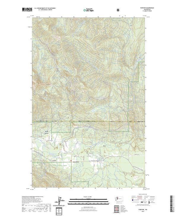 2023 Fortson2023 Print · USGSThe Stillaguamish River valley near the Skagit and Snohomish county line is shown here as a blend of forest industry and alpine recreation. Researchers can trace the layout of Swede Heaven and Fortson or locate landmarks like the Fortson Mill Pond.
End of results
Showing maps 1-11 of 11
Frequently asked questions
- What are the different types of historical maps available for White Horse?
- What is the oldest map of White Horse?
- Where can I purchase historical maps of White Horse for my home or office?
- Where can I download high-res historical maps of White Horse?
- Are there historical topographic maps available for White Horse?
- Is there historical aerial imagery available for White Horse?
- Where are historical maps of White Horse sourced from?