Old Maps of Elk, Washington for Academic Research
Study the evolution of Elk with 12 high-resolution historic maps. Whether you're teaching, researching, or modeling changes in land use, these maps provide essential visual documentation of urban, environmental, and geographic change.
- Analyze long-term change: Track patterns in development, transportation, and natural features.
- Ideal for environmental or urban studies: Support academic projects with primary historical map data.
- Use in the classroom or lab: Educators and researchers rely on these maps to bring historical context to life.
These maps are a powerful tool for teaching, research, and visualizing how Elk has changed over the decades.
Elk, WA maps
(12)- 1936 Map of Newport
 1936 Newport1936 Print · USGSThe Pend Oreille River valley in the 1930s reveals a landscape of railroad towns and timber outposts along the Idaho border. Genealogists can locate family-named school districts like Locke Sch and Otter Creek Sch, alongside settlements at Dalkena, Cusick, and Scotia.2 unique versions available
 - 1942 Map of Newport
 1942 Newport1942 Print · USGSPend Oreille River country is captured here during the early 1940s, showing the vital rail and river links between Newport and the mountain frontier. Researchers can trace family homesteads near old schools like Fertile Valley Sch or locate the Indian Mission and Dalkena mill site.3 unique versions available
 - 1958 Map of Sandpoint, 1966 Print
 1958 Sandpoint1966 Print · USGSThe Idaho Panhandle and Northeast Washington are shown here in the late fifties, when timber and hydroelectric power drove the local economy. Trace family roots in rail-side towns like Cusick or Metaline Falls, and locate landmarks like the Albeni Falls Dam or Falls Ranger Station.2 unique versions available
 - 1963 Map of Sandpoint
 1963 Sandpoint1963 Print · USGSNorthern Idaho and eastern Washington are shown in the early sixties as a high-country network of timber, mining, and rail. Genealogists and historians can trace the Great Northern line through Metaline Falls, Bonners Ferry, and past the Finch Mine.
 - 1968 Map of Elk, 1971 Print
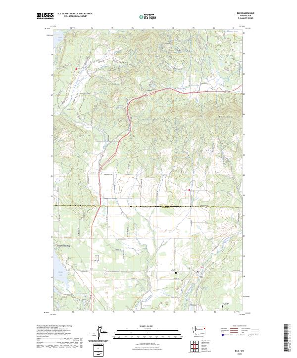
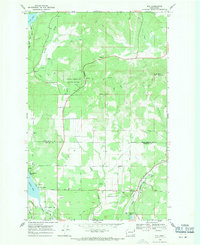 1968 Elk1971 Print · USGSThe timbered valleys of Pend Oreille and Spokane counties are captured here in the late sixties, where the Great Northern rail line meets the Little Spokane River. Genealogists and hikers can trace the original sites of Elk Cemetery No 1, Camp Joubert, and the Grange Hall.3 unique versions available
 - 1978 Map of Elk, 1982 Print
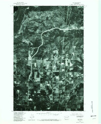 1978 Elk1982 Print · USGSPend Oreille County in the late seventies is captured in this orthophotoquad, showing the rural landscape around Elk. Trace the path of Highway 2 through the valley and locate family land near Fertile or the slopes of Bare Mountain.
 - 1984 Map of Chewelah
 1984 Chewelah1984 Print · USGSNortheastern Washington in the mid-1980s is documented here through its valley settlements and mountain mining districts. Researchers can trace the Burlington Northern line between Springdale and Addy, or locate historical operations like the Wells Fargo Mine and Keystone Mine.
 - 2011 Map of Elk, 2011 Print
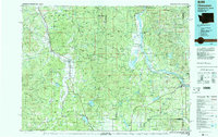
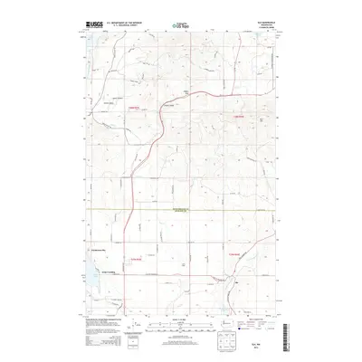
 2011 Elk2011 Print · USGSCovers Elk, including Pocahontas Bay, Grays Landing, and other nearby areas
 - 2014 Map of Elk, 2014 Print
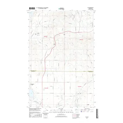
 2014 Elk2014 Print · USGSCovers Elk, including Pocahontas Bay, Grays Landing, and other nearby areas
 - 2017 Map of Elk, 2017 Print
 2017 Elk2017 Print · USGSCovers Elk, including Pocahontas Bay, Grays Landing, and other nearby areas
 - 2020 Map of Elk, 2020 Print
 2020 Elk2020 Print · USGSCovers Elk, including Pocahontas Bay, Grays Landing, and other nearby areas
 - 2023 Map of Elk, 2023 Print
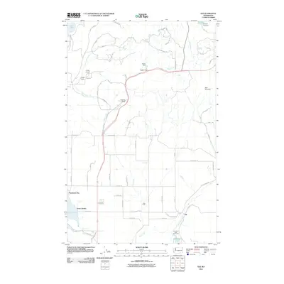
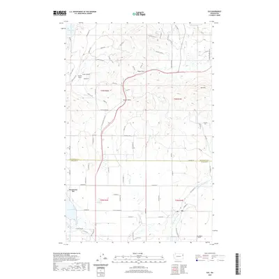
 2023 Elk2023 Print · USGSNorth of the Spokane County line in the early 2020s, the valley landscape is defined by the winding Little Spokane River and its rural communities. You can trace the layout of Elk, locate the Elk Cem Number 1, and explore the shoreline of Eloika Lake.
End of results
Showing maps 1-12 of 12
Top cities near Elk
Frequently asked questions
- What are the different types of historical maps available for Elk?
- What is the oldest map of Elk?
- Where can I purchase historical maps of Elk for my home or office?
- Where can I download high-res historical maps of Elk?
- Are there historical topographic maps available for Elk?
- Is there historical aerial imagery available for Elk?
- Where are historical maps of Elk sourced from?