Old Maps of Irwin, Spokane Valley for Metal Detecting
Plan your next treasure hunt with 13 historic maps of Irwin. Find old homesites, ghost towns, trails, and gathering spots that may be lost to time — perfect for identifying promising metal detecting locations.
- Locate forgotten sites: Uncover places like long-lost settlements, abandoned rail lines, or gathering spots.
- Plan better hunts: Use map overlays combined with LiDAR or satellite views to narrow in on historically rich areas.
- Made for detectorists: Thousands of hobbyists use these maps to discover relics, coins, and hidden history.
Use these historic maps to boost your research and find new opportunities beneath the surface of Irwin.
Irwin, Spokane Valley maps
(13)- 1901 Map of Spokane
 1901 Spokane1901 Print · USGSThe Inland Empire was entering a period of massive rail-driven growth at the turn of the century, with Spokane as its industrial heart. Genealogists and historians can trace the early foundations of Ft. Wright, the railroad works at Hillyard, and rural outposts like Chattaroy and Spokane Bridge.6 unique versions available
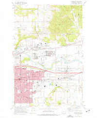
 - 1949 Map of Greenacres, 1961 Print
 1949 Greenacres1961 Print · USGSThe Spokane Valley-Rathdrum Prairie border is captured here at a peak of post-war industrial activity. Local historians can trace the massive Naval Supply Depot, the Aluminum Rolling Mill, and various country landmarks like the Saltese Cemetery and Tri-Community Grange.3 unique versions available
 - 1951 Map of Greenacres
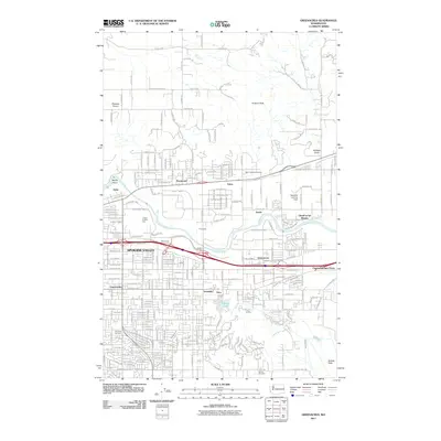
 1951 Greenacres1951 Print · USGSThe Spokane Valley at the mid-century shows a busy corridor of rail lines and new post-war industry. Researchers can trace family roots at Saltese Cem, explore the early footprint of the Naval Supply Depot, or locate vanished stations along the Spokane International railroad.2 unique versions available
 - 1955 Map of Spokane, 1965 Print
 1955 Spokane1965 Print · USGSInland Empire life in the fifties and sixties centers on the growth of Spokane and the heavy mining industry of northern Idaho. Trace mid-century landmarks like Fairchild Air Force Base, the Bunker Hill Mine, and early campuses such as Gonzaga University.2 unique versions available
 - 1958 Map of Spokane
 1958 Spokane1958 Print · USGSThe Inland Empire is shown at a mid-century peak of industrial and military activity, from the rail hubs of Spokane to the deep silver mines of northern Idaho. Researchers can trace the sprawling rail lines of the Union Pacific RR or locate landmarks like Fairchild Air Force Base and the Bunker Hill Smelter & Mine.
 - 1973 Map of Greenacres, 1977 Print
 1973 Greenacres1977 Print · USGSSpokane Valley’s suburban expansion is in full swing during the early seventies, centered on the growing communities of Veradale and Opportunity. Genealogists can trace family landmarks at St Josephs Cem and the The Pines Cem, or locate long-standing institutions like Central Valley High Sch.2 unique versions available
 - 1978 Map of Greenacres, 1981 Print
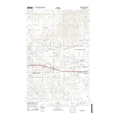
 1978 Greenacres1981 Print · USGSSpokane Valley’s late-seventies landscape is revealed in this detailed aerial survey of the eastern Washington suburbs. Researchers can trace the industrial footprint of Trentwood or the residential growth of Greenacres and Veradale along the Spokane River.
 - 1987 Map of Spokane
 1987 Spokane1987 Print · USGSGreater Spokane and its surrounding prairies are captured in the late 1980s as the region solidified its role as a regional hub. Researchers can trace family sites near Medical Lake, military life at Fairchild Air Force Base, and rural settlements like Peone and Chattaroy.
 - 2011 Map of Greenacres, 2011 Print
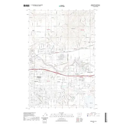
 2011 Greenacres2011 Print · USGSCovers Irwin, including Spokane Valley, Liberty Lake, and other nearby areas
 - 2014 Map of Greenacres, 2014 Print
 2014 Greenacres2014 Print · USGSCovers Irwin, including Spokane Valley, Liberty Lake, and other nearby areas
 - 2017 Map of Greenacres, 2017 Print
 2017 Greenacres2017 Print · USGSCovers Irwin, including Spokane Valley, Liberty Lake, and other nearby areas
 - 2020 Map of Greenacres, 2020 Print
 2020 Greenacres2020 Print · USGSCovers Irwin, including Spokane Valley, Liberty Lake, and other nearby areas
 - 2023 Map of Greenacres, 2023 Print
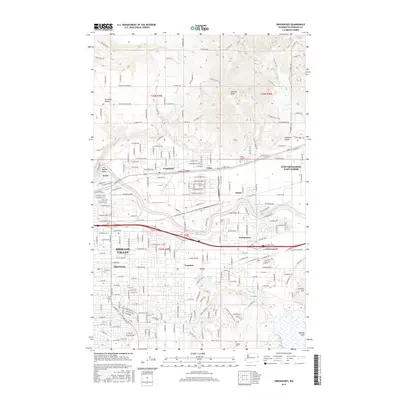
 2023 Greenacres2023 Print · USGSSpokane Valley is captured in its modern suburban and industrial complexity during the early 2020s. Genealogists and local historians can trace established neighborhoods and memorial sites like Saint Joseph Cem, Veradale, and the industrial Kaiser Works.
End of results
Showing maps 1-13 of 13
Frequently asked questions
- What are the different types of historical maps available for Irwin?
- What is the oldest map of Irwin?
- Where can I purchase historical maps of Irwin for my home or office?
- Where can I download high-res historical maps of Irwin?
- Are there historical topographic maps available for Irwin?
- Is there historical aerial imagery available for Irwin?
- Where are historical maps of Irwin sourced from?