Old Maps of T Bridge Corner, Washington for Metal Detecting
Plan your next treasure hunt with 12 historic maps of T Bridge Corner. Find old homesites, ghost towns, trails, and gathering spots that may be lost to time — perfect for identifying promising metal detecting locations.
- Locate forgotten sites: Uncover places like long-lost settlements, abandoned rail lines, or gathering spots.
- Plan better hunts: Use map overlays combined with LiDAR or satellite views to narrow in on historically rich areas.
- Made for detectorists: Thousands of hobbyists use these maps to discover relics, coins, and hidden history.
Use these historic maps to boost your research and find new opportunities beneath the surface of T Bridge Corner.
T Bridge Corner, WA maps
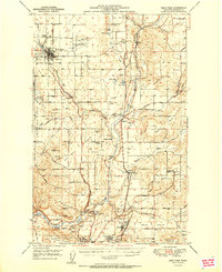
(12)- 1901 Map of Spokane
 1901 Spokane1901 Print · USGSThe Inland Empire was entering a period of massive rail-driven growth at the turn of the century, with Spokane as its industrial heart. Genealogists and historians can trace the early foundations of Ft. Wright, the railroad works at Hillyard, and rural outposts like Chattaroy and Spokane Bridge.6 unique versions available
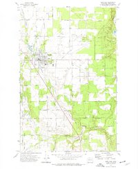
 - 1949 Map of Deer Park, 1960 Print
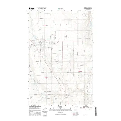
 1949 Deer Park1960 Print · USGSSpokane County's northern prairies and river valleys are captured here in the late 1940s as rural agriculture met growing industrial hubs. Researchers can trace family roots at Wild Rose Ch, identify old grange halls, or locate the Aluminum Reduction Plant and Whitworth College.
 - 1951 Map of Deer Park
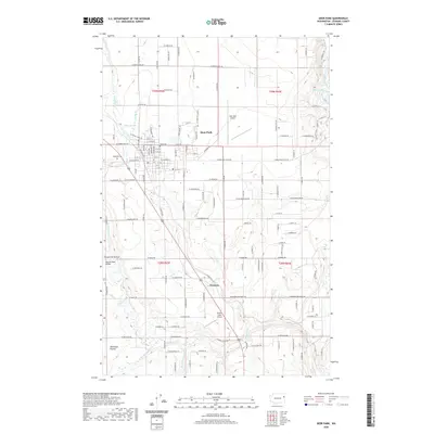
 1951 Deer Park1951 Print · USGSSpokane County's northern agricultural and industrial landscapes are captured here during the post-war era. Genealogists and researchers can trace the rural church and school networks at Wild Rose Ch, Mead, and the Peone-Foothills Grange.
 - 1955 Map of Spokane, 1965 Print
 1955 Spokane1965 Print · USGSInland Empire life in the fifties and sixties centers on the growth of Spokane and the heavy mining industry of northern Idaho. Trace mid-century landmarks like Fairchild Air Force Base, the Bunker Hill Mine, and early campuses such as Gonzaga University.2 unique versions available
 - 1958 Map of Spokane
 1958 Spokane1958 Print · USGSThe Inland Empire is shown at a mid-century peak of industrial and military activity, from the rail hubs of Spokane to the deep silver mines of northern Idaho. Researchers can trace the sprawling rail lines of the Union Pacific RR or locate landmarks like Fairchild Air Force Base and the Bunker Hill Smelter & Mine.
 - 1973 Map of Deer Park, 1977 Print
 1973 Deer Park1977 Print · USGSSpokane County in the early seventies shows a landscape shaped by rail lines and community hubs. Trace family roots and local history through Kelly Cem, the Tri-County Fairgrounds, and the old rail corridor of the Burlington Northern.
 - 1987 Map of Spokane
 1987 Spokane1987 Print · USGSGreater Spokane and its surrounding prairies are captured in the late 1980s as the region solidified its role as a regional hub. Researchers can trace family sites near Medical Lake, military life at Fairchild Air Force Base, and rural settlements like Peone and Chattaroy.
 - 2011 Map of Deer Park, 2011 Print
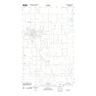 2011 Deer Park2011 Print · USGSCovers T Bridge Corner, including Deer Park, Denison, and other nearby areas
 - 2014 Map of Deer Park, 2014 Print
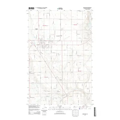 2014 Deer Park2014 Print · USGSCovers T Bridge Corner, including Deer Park, Denison, and other nearby areas
 - 2017 Map of Deer Park, 2017 Print
 2017 Deer Park2017 Print · USGSCovers T Bridge Corner, including Deer Park, Denison, and other nearby areas
 - 2020 Map of Deer Park, 2020 Print
 2020 Deer Park2020 Print · USGSCovers T Bridge Corner, including Deer Park, Denison, and other nearby areas
 - 2023 Map of Deer Park, 2023 Print
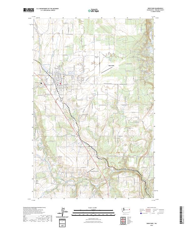 2023 Deer Park2023 Print · USGSDeer Park and the northern Spokane County countryside are captured here in the early 2020s. Genealogists and local researchers can locate Woodland Cem, trace the course of Dragoon Creek, and see the layout of Denison and Wild Rose Prairie.
End of results
Showing maps 1-12 of 12
Top cities near T Bridge Corner
- Spokane historical maps
- Colbert historical maps
- Fairwood historical maps
- Mead historical maps
- Deer Park historical maps
Frequently asked questions
- What are the different types of historical maps available for T Bridge Corner?
- What is the oldest map of T Bridge Corner?
- Where can I purchase historical maps of T Bridge Corner for my home or office?
- Where can I download high-res historical maps of T Bridge Corner?
- Are there historical topographic maps available for T Bridge Corner?
- Is there historical aerial imagery available for T Bridge Corner?
- Where are historical maps of T Bridge Corner sourced from?