Old Maps of Olympia, Washington
Explore 20 old maps of Olympia, spanning from 1937 to today. These high-resolution historic maps reveal how streets, neighborhoods, landmarks, and natural features evolved over time — perfect for genealogy, metal detecting, research, and local history exploration.
What you can do with these maps:
- See how Olympia changed over time: Compare historical maps to modern-day views to trace roads, homesites, rail lines & more.
- View detailed metadata: Each map includes creators, publishers, year, scale, and archive source.
- Overlay maps with satellite & LiDAR: Visualize the past alongside modern tools to explore terrain & human change.
- Trusted historical sources: Maps sourced from the USGS, Library of Congress, and other archives.
- Access maps your way: View online, download high-res files, or order prints for personal or research use.
Start exploring old maps of Olympia to uncover forgotten places, hidden landmarks, and the deep history beneath your feet.
Olympia, WA maps
(20)- 1937 Map of Olympia
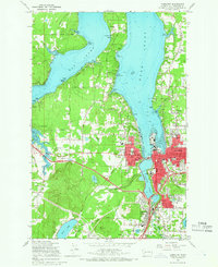
 1937 Olympia1937 Print · USGSThe state capital and the southern inlets of Puget Sound are captured here during the mid-1930s as the region's rail and maritime networks matured. Genealogists and historians can locate vanished schoolhouses like Plainview Sch, old coastal landings at Boston Harbor, and early industry at Union Mills.2 unique versions available
 - 1949 Map of Olympia, 1958 Print
 1949 Olympia1958 Print · USGSThe Puget Sound shoreline and the capital city of Olympia are captured here just after the war. Researchers can trace the rail lines of the Northern Pacific or find local landmarks like St Martins College and Boston Harbor.3 unique versions available
 - 1958 Map of Seattle, 1966 Print
 1958 Seattle1966 Print · USGSThe Puget Sound region in the mid-fifties showcases a balance of urban growth and Olympic wilderness. Trace the industrial waterfronts of Tacoma, old naval facilities like Keyport Naval Res, and mountain peaks like Mount Constance.3 unique versions available
 - 1959 Map of Tumwater, 1966 Print
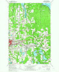
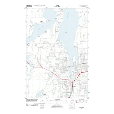
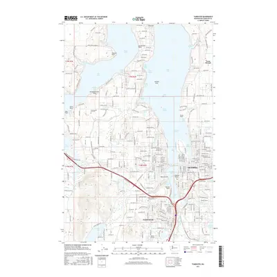
 1959 Tumwater1966 Print · USGSMid-century Olympia and Tumwater are documented here just as the post-war era transformed the South Sound. Genealogists and local historians can trace family locations near the State Capitol, McLane Sch, and the rail lines of the Northern Pacific.6 unique versions available
 - 1959 Map of Lacey, 1966 Print
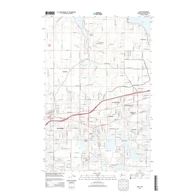
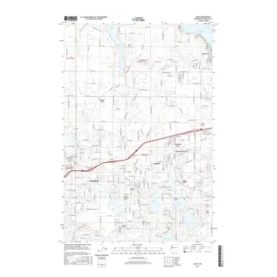
 1959 Lacey1966 Print · USGSThurston County’s transition from timbered prairies to suburban communities is captured here in the late fifties as Lacey and Olympia expanded. Genealogists and local historians can trace the grounds of St Martins College and find vanished landmarks like the Drive-in Theater or Union Mill.6 unique versions available
 - 1962 Map of Seattle
 1962 Seattle1962 Print · USGSThe Puget Sound region and Olympic Peninsula are shown at a peak of mid-century growth. Genealogists and historians can trace rail lines like the Pacific Coast RR or locate landmarks such as Fort Lawton and the Bothell Power Station.
 - 1975 Map of Tacoma, 1977 Print
 1975 Tacoma1977 Print · USGSThe Puget Sound region in the mid-seventies reveals a landscape of growing urban centers and massive federal installations. Genealogists and historians can trace the development of Tacoma and Olympia, or locate landmarks like the McNeil Island Penitentiary and Fort Lewis Military Reservation.
 - 1991 Map of Tacoma
 1991 Tacoma1991 Print · USGSThe South Sound and Tacoma waterfront appear here in the early nineties, showing a landscape defined by deep-water inlets and massive federal installations. Researchers can trace the development of Lakewood Center or locate the historic rail lines of the Burlington Northern Railroad and Union Pacific Railroad.
 - 1997 Map of Tumwater, 2000 Print
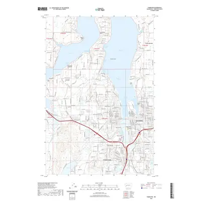
 1997 Tumwater2000 Print · USGSThe southern reaches of the Puget Sound come into focus in the late nineties, showcasing the growth of Olympia and Tumwater. Genealogists and local historians can locate early institutions like the McLane Grange Hall, Olympia Jr Academy, and the waterfront Countryside Beach settlement.
 - 1997 Map of Lacey, 2003 Print
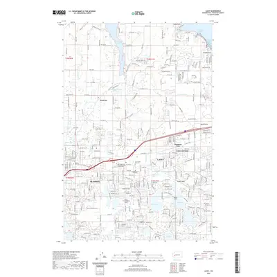
 1997 Lacey2003 Print · USGSThe Puget Sound shoreline and the growing suburbs of Thurston County come into focus during the late nineties. Genealogists and historians can trace the development of Lacey through its many schools and cemeteries like Ruddell Pioneer Cemetery or locate the old industrial footprint of Union Mill.
 - 2011 Map of Lacey, 2011 Print
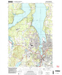
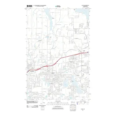 2011 Lacey2011 Print · USGSCovers Olympia, including Lacey, Union Mill, and other nearby areas
 - 2011 Map of Tumwater, 2011 Print
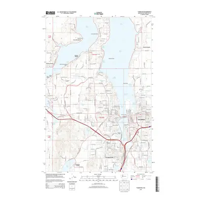
 2011 Tumwater2011 Print · USGSCovers Olympia, including Tumwater, Sunrise Beach, and other nearby areas
 - 2014 Map of Lacey, 2014 Print
 2014 Lacey2014 Print · USGSCovers Olympia, including Lacey, Union Mill, and other nearby areas
 - 2014 Map of Tumwater, 2014 Print
 2014 Tumwater2014 Print · USGSCovers Olympia, including Tumwater, Sunrise Beach, and other nearby areas
 - 2017 Map of Tumwater, 2017 Print
 2017 Tumwater2017 Print · USGSCovers Olympia, including Tumwater, Sunrise Beach, and other nearby areas
 - 2017 Map of Lacey, 2017 Print
 2017 Lacey2017 Print · USGSCovers Olympia, including Lacey, Union Mill, and other nearby areas
 - 2020 Map of Lacey, 2020 Print
 2020 Lacey2020 Print · USGSCovers Olympia, including Lacey, Union Mill, and other nearby areas
 - 2020 Map of Tumwater, 2020 Print
 2020 Tumwater2020 Print · USGSCovers Olympia, including Tumwater, Sunrise Beach, and other nearby areas
 - 2023 Map of Tumwater, 2023 Print
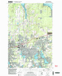
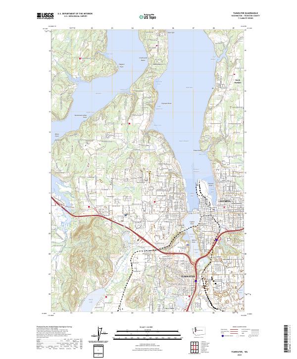 2023 Tumwater2023 Print · USGSThe southern Puget Sound shoreline meets the state capital in this recent survey of the Olympia and Tumwater waterfronts. Researchers can locate coastal landmarks like Priest Point Park alongside several major cemeteries including Masonic Memorial Park.
 - 2023 Map of Lacey, 2023 Print
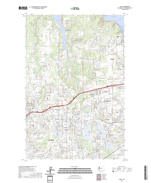 2023 Lacey2023 Print · USGSThe eastern edges of Olympia and the growing suburbs of Lacey are documented here in the early twenty-first century. Researchers can locate legacy landmarks like Union Mill, the Saint Martin's Abbey Cem, and the historic Ruddell Pioneer Cem.
End of results
Showing maps 1-20 of 20
Top cities near Olympia
- Lacey historical maps
- Tumwater historical maps
- Yelm historical maps
- Shelton historical maps
- DuPont historical maps
- Kamilche historical maps
See more
Top neighborhoods of Olympia
Frequently asked questions
- What are the different types of historical maps available for Olympia?
- What is the oldest map of Olympia?
- Where can I purchase historical maps of Olympia for my home or office?
- Where can I download high-res historical maps of Olympia?
- Are there historical topographic maps available for Olympia?
- Is there historical aerial imagery available for Olympia?
- Where are historical maps of Olympia sourced from?