Old Maps of DuPont, Washington
Explore 31 old maps of DuPont, spanning from 1940 to today. These high-resolution historic maps reveal how streets, neighborhoods, landmarks, and natural features evolved over time — perfect for genealogy, metal detecting, research, and local history exploration.
What you can do with these maps:
- See how DuPont changed over time: Compare historical maps to modern-day views to trace roads, homesites, rail lines & more.
- View detailed metadata: Each map includes creators, publishers, year, scale, and archive source.
- Overlay maps with satellite & LiDAR: Visualize the past alongside modern tools to explore terrain & human change.
- Trusted historical sources: Maps sourced from the USGS, Library of Congress, and other archives.
- Access maps your way: View online, download high-res files, or order prints for personal or research use.
Start exploring old maps of DuPont to uncover forgotten places, hidden landmarks, and the deep history beneath your feet.
DuPont, WA maps
(31)- 1940 Map of Anderson Island
 1940 Anderson Island1940 Print · USGSCoastal Washington at the start of the 1940s shows a landscape of strategic military installations and island prisons. You can trace the development of Fort Lewis, the boundaries of the Nisqually Indian Reservation, and the layout of the Federal Penitentiary on McNeil Island.
 - 1948 Map of Anderson Island, 1955 Print
 1948 Anderson Island1955 Print · USGSThe South Sound shoreline and its island communities are captured here just after the war as military and suburban footprints expanded. Genealogists and researchers can trace local landmarks from McNeil Island to the Visitation Academy and the rail stops at Nisqually Station.
 - 1948 Map of Fort Lewis, 1955 Print
 1948 Fort Lewis1955 Print · USGSFort Lewis and McChord Air Force Base are captured during the height of post-war military activity. Local researchers can trace old rail lines, the Indian Cem, and family landmarks like Davis Woods and McCall Hill.
 - 1948 Map of Nisqually, 1955 Print
 1948 Nisqually1955 Print · USGSThe Nisqually River delta and the South Puget Sound coastline are captured here in the late 1940s. Genealogists and historians can trace the early layout of Dupont, the Fort Lewis Military Reservation, and rail stops like St Clair Sta and Nisqually Sta.
 - 1948 Map of Anderson Island, 1955 Print
 1948 Anderson Island1955 Print · USGSThe islands of the southern Puget Sound are captured here shortly after the war, showing the federal prison and rural island settlements. Trace the ferry routes to Villa Beach or locate family markers at Hillcrest Cem and the McDermott Light.
 - 1958 Map of Seattle, 1966 Print
 1958 Seattle1966 Print · USGSThe Puget Sound region in the mid-fifties showcases a balance of urban growth and Olympic wilderness. Trace the industrial waterfronts of Tacoma, old naval facilities like Keyport Naval Res, and mountain peaks like Mount Constance.3 unique versions available
 - 1959 Map of Fort Lewis, 1966 Print
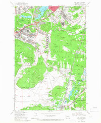 1959 Fort Lewis1966 Print · USGSPierce County was a focal point of West Coast defense and transport in the late fifties as military installations and railroads expanded. Genealogists and historians can trace the early layout of Tillicum, the town of Roy, and massive facilities like the Mount Rainier Ordnance Depot.4 unique versions available
 - 1959 Map of Mc Neil Island, 1966 Print
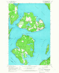 1959 Mc Neil Island1966 Print · USGSThe South Puget Sound islands appear here in the late fifties, dominated by the sprawling infrastructure of the Mc Neil Island (Federal Penitentiary). Researchers can trace historical routes like the Steilacoom Ferry or locate the Hillcrest Cem and Anderson Island Cem.5 unique versions available
 - 1959 Map of Nisqually, 1967 Print
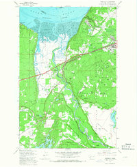 1959 Nisqually1967 Print · USGSThe Nisqually River delta and the northern reaches of the Fort Lewis Military Reservation are captured here during a period of steady military and coastal development. Genealogists and historians can trace family-named landmarks like Foster Hill and Hoffman Hill or locate early infrastructure at Nisqually Station and Dupont.6 unique versions available
 - 1959 Map of Anderson Island, 1968 Print
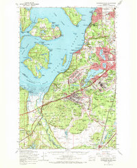 1959 Anderson Island1968 Print · USGSPierce County in the late fifties was a hub of military and institutional activity as suburban communities began to expand south of Tacoma. Trace the mid-century footprints of the Federal Penitentiary on McNeil Island, the Mount Rainier Ordnance Depot, and Lakewood Center.
 - 1962 Map of Seattle
 1962 Seattle1962 Print · USGSThe Puget Sound region and Olympic Peninsula are shown at a peak of mid-century growth. Genealogists and historians can trace rail lines like the Pacific Coast RR or locate landmarks such as Fort Lawton and the Bothell Power Station.
 - 1975 Map of Tacoma, 1977 Print
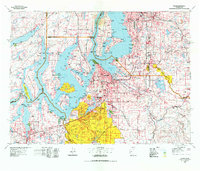 1975 Tacoma1977 Print · USGSThe Puget Sound region in the mid-seventies reveals a landscape of growing urban centers and massive federal installations. Genealogists and historians can trace the development of Tacoma and Olympia, or locate landmarks like the McNeil Island Penitentiary and Fort Lewis Military Reservation.
 - 1991 Map of Tacoma
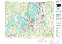 1991 Tacoma1991 Print · USGSThe South Sound and Tacoma waterfront appear here in the early nineties, showing a landscape defined by deep-water inlets and massive federal installations. Researchers can trace the development of Lakewood Center or locate the historic rail lines of the Burlington Northern Railroad and Union Pacific Railroad.
 - 1997 Map of Mc Neil Island, 2003 Print
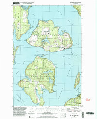 1997 Mc Neil Island2003 Print · USGSThe islands of the southern Sound are captured here during the late nineties, featuring the expansive McNeil Island Corrections Center. Trace local landmarks like the Hillcrest Cem, Old Schoolhouse Park, and the Steilacoom Ferry route.
 - 1997 Map of Fort Lewis, 2003 Print
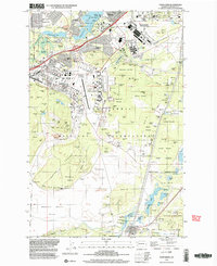 1997 Fort Lewis2003 Print · USGSFort Lewis and its surrounding Pierce County landscapes are captured in the late 1990s as the military infrastructure reached a modern peak. Genealogists and historians can trace local landmarks like Ross Cem, schools such as Hillside Sch, and the sprawling grounds of Gray Army Air Field.
 - 1997 Map of Nisqually, 2003 Print
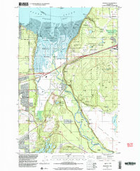 1997 Nisqually2003 Print · USGSThe Nisqually River delta and the southern reaches of Puget Sound are shown here in the late 1990s as a complex mix of military, conservation, and historical sites. Researchers can locate the Fort Nisqually 1833 Historical Site, the Sequalitchew Cemetery, and the Nisqually Station.
 - 2011 Map of McNeil Island, 2011 Print
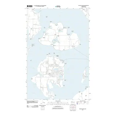 2011 McNeil Island2011 Print · USGSMaritime life and correctional history meet in the Puget Sound during the early twenty-first century. Researchers can trace the layout of the prison grounds on McNeil Island or locate family roots at the Anderson Island Cemetery and Fox Island Cemetery.
 - 2011 Map of Nisqually, 2011 Print
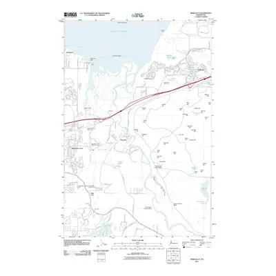 2011 Nisqually2011 Print · USGSThe Nisqually River delta meets the Puget Sound in this early twenty-first-century survey of the growing communities between Olympia and Tacoma. Genealogists and local historians can trace family-named heights like Jansen Hill or explore landmarks such as Dupont Wharf and Lake Saint Clair.
 - 2011 Map of Fort Lewis, 2011 Print
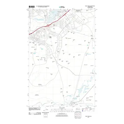 2011 Fort Lewis2011 Print · USGSThe military installation at Fort Lewis and its surrounding prairies are captured here in the early twenty-first century. Genealogists and historians can locate the Fort Lewis Cemetery and trace the residential layouts of Tillicum and Roy.
 - 2014 Map of McNeil Island, 2014 Print
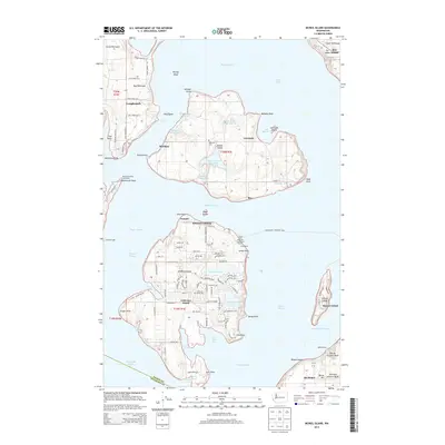 2014 McNeil Island2014 Print · USGSThe islands of the southern Puget Sound are captured here during a period of modern maritime and residential activity. Genealogists and local historians can trace family roots at Hillcrest Cem or locate the historic McDermott Point Lighthouse and Yoman Dock.
 - 2014 Map of Nisqually, 2014 Print
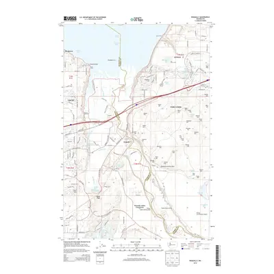 2014 Nisqually2014 Print · USGSThe Puget Sound shoreline and the Nisqually River delta meet the sprawling military landscape of the South Sound in the early twenty-first century. Researchers can trace the boundaries of the Nisqually Indian Community and identify named military landmarks like Eighteenth Infantry Bluff and Dupont Wharf.
 - 2014 Map of Fort Lewis, 2014 Print
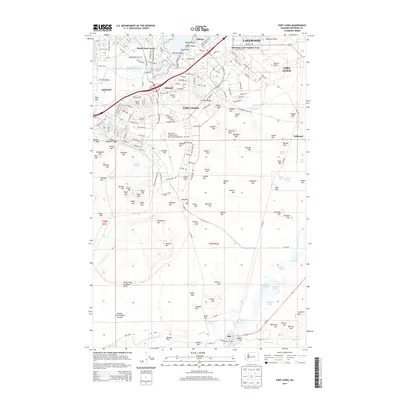 2014 Fort Lewis2014 Print · USGSPierce County’s military and residential landscape is captured here in the decade following the 2010 joint-base realignment. Researchers can trace the layout of Fort Lewis, locate the Fort Lewis Cem, and explore the glacial terrain near American Lake and Roy.
 - 2017 Map of Nisqually, 2017 Print
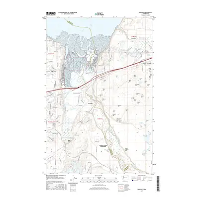 2017 Nisqually2017 Print · USGSThe Nisqually delta and the expanding suburbs of Lacey meet at the edge of Puget Sound in the late twenty-tens. Genealogists and local historians can trace the boundaries of the Nisqually Indian Community, the reach of Fort Lewis, and the waters of Lake Saint Clair.
 - 2017 Map of Fort Lewis, 2017 Print
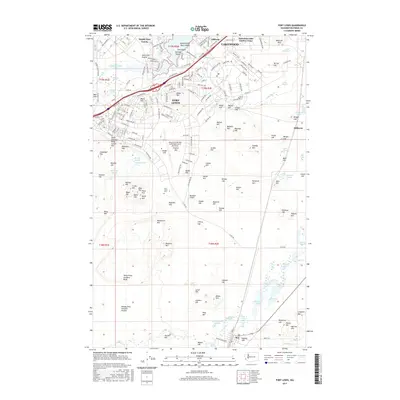 2017 Fort Lewis2017 Print · USGSThe military landscape of Pierce County is shown here in detail during the late 2010s, centered on the strategic grounds of Fort Lewis. Researchers can trace the boundaries of North Fort Lewis, locate the Fort Lewis Cem, and explore the glacial terrain around Sequalitchew Lake and American Lake.
 - 2017 Map of McNeil Island, 2017 Print
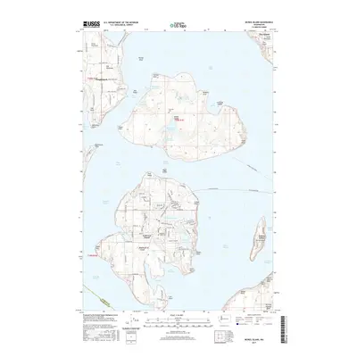 2017 McNeil Island2017 Print · USGSSouthern Puget Sound islands and their maritime connections are shown here in the late 2010s. Researchers can trace ferry routes and inland landmarks like Hillcrest Cemetery on McNeil Island or the network of local roads on Anderson Island.
Showing maps 1-25 of 31
Top cities near DuPont
- Tacoma historical maps
- Lakewood historical maps
- Olympia historical maps
- Lacey historical maps
- Parkland historical maps
- Spanaway historical maps
See more
Frequently asked questions
- What are the different types of historical maps available for DuPont?
- What is the oldest map of DuPont?
- Where can I purchase historical maps of DuPont for my home or office?
- Where can I download high-res historical maps of DuPont?
- Are there historical topographic maps available for DuPont?
- Is there historical aerial imagery available for DuPont?
- Where are historical maps of DuPont sourced from?