Old Maps of Tahoma Terra, Yelm for Academic Research
Study the evolution of Tahoma Terra with 16 high-resolution historic maps. Whether you're teaching, researching, or modeling changes in land use, these maps provide essential visual documentation of urban, environmental, and geographic change.
- Analyze long-term change: Track patterns in development, transportation, and natural features.
- Ideal for environmental or urban studies: Support academic projects with primary historical map data.
- Use in the classroom or lab: Educators and researchers rely on these maps to bring historical context to life.
These maps are a powerful tool for teaching, research, and visualizing how Tahoma Terra has changed over the decades.
Tahoma Terra, Yelm maps
(16)- 1916 Map of Chehalis
 1916 Chehalis1916 Print · USGSDuring a period of rapid development along the Chehalis and Skookumchuck Rivers, these valleys supported a thriving network of timber camps and rail towns. Genealogists can trace family landmarks like Logan Hill School, the Centralia Seminary, and the Salmon Creek Mill.4 unique versions available
 - 1944 Map of Yelm
 1944 Yelm1944 Print · USGSThe Nisqually River valley and the surrounding prairies are captured here during the 1940s as military and rail infrastructure reshaped the landscape. Researchers can trace the rail corridors of the Northern Pacific, the Centralia Power Plant, and local landmarks like Collins Sch and Vail.2 unique versions available
 - 1949 Map of Yelm, 1958 Print
 1949 Yelm1958 Print · USGSYelm and the surrounding prairies of Thurston and Pierce counties are shown here just after the war. Researchers can trace family ranching sites like Fox Ranch, early schools such as Collins School, and the heavy rail activity at McKenna.
 - 1953 Map of Hoquiam
 1953 Hoquiam1953 Print · USGSSouthwest Washington in the early fifties shows a landscape shaped by timber, rail, and river commerce from the coast to the Cascades. Genealogists and historians can trace the development of timber towns like Ryderwood and the industrial hubs of Hoquiam and Kelso.2 unique versions available
 - 1957 Map of Hoquiam
 1957 Hoquiam1957 Print · USGSCoastal timber ports and inland rail hubs define Southwest Washington during the late fifties. Genealogists can trace early twentieth-century settlements like Bordeaux, Tono, and Cosmopolis alongside the expanding tracks of the Northern Pacific.
 - 1958 Map of Hoquiam, 1969 Print
 1958 Hoquiam1969 Print · USGSSouthwest Washington and the Columbia River estuary appear here in the mid-century, before major landscape shifts. Researchers can trace the rail lines of the Northern Pacific, locate the Fort Henness Site, or explore the Naselle Air Force Station.2 unique versions available
 - 1959 Map of Weir Prairie, 1966 Print
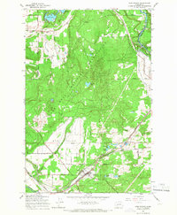 1959 Weir Prairie1966 Print · USGSThurston County’s landscape in the late fifties is a blend of heavy military training grounds and a busy rural rail corridor. Genealogists can trace family footprints at Burnham Ranch, the local Cem, or follow the twin lines of the Great Northern and Chicago Milwaukee St Paul and Pacific railroads.3 unique versions available
 - 1959 Map of Yelm, 1968 Print
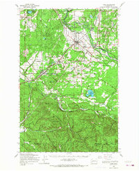 1959 Yelm1968 Print · USGSThurston and Pierce Counties are shown in the late 1950s, a time when rail lines and ranching still dominated the prairies. You can trace the lineage of the region through the Roy Cem, Collins Sch, and early homesteads like Burnham Ranch or the Roundtree Cabin.
 - 1962 Map of Hoquiam
 1962 Hoquiam1962 Print · USGSSouthwest Washington in the late fifties is defined by the bustling timber ports of Hoquiam and the rail-linked commerce of the interior valleys. Genealogists and historians can trace the early footprints of settlements like Raymond and Pe Ell, or locate family sites at Grand Mound Cem and Odd Fellows Cem.
 - 1980 Map of Centralia
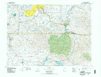 1980 Centralia1980 Print · USGSThe rail and river corridors of southwestern Washington are captured here in the late twentieth century, showing the region's transition from resource extraction to managed forest land. Researchers can trace the industrial footprint of the Stoker Mine, the rails of the Union Pacific, and the early development of Centralia and Chehalis.
 - 1990 Map of Tenalquot Prairie, 1995 Print
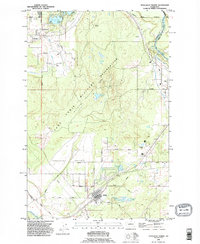 1990 Tenalquot Prairie1995 Print · USGSThurston County’s prairie and river landscapes appear in the early nineties, showing the expansive Fort Lewis Military Reservation and the growing community of Yelm. Trace family history and land use through labels like Burnham Ranch, the local Cem, and the Nisqually Indian Reservation.
 - 2011 Map of Tenalquot Prairie, 2011 Print
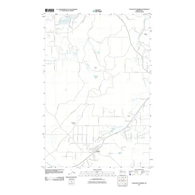 2011 Tenalquot Prairie2011 Print · USGSThe Tenalquot Prairie and the settlement of Rainier appear in detail during the early twenty-first century. Researchers can trace military-inspired geography near Fort Lewis and find family-named landmarks like Burnham Ranch and Gehrke Lake.
 - 2013 Map of Tenalquot Prairie, 2013 Print
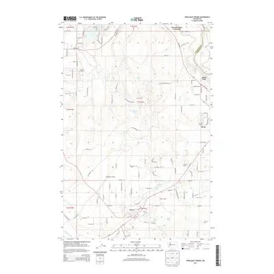 2013 Tenalquot Prairie2013 Print · USGSThurston County’s prairie lands and river corridors are captured here in the early twenty-first century as modern development meets historic ranching. You can trace the boundaries of the Nisqually Indian Community or locate landmarks like Rainier Tower and Burnham Ranch.
 - 2017 Map of Tenalquot Prairie, 2017 Print
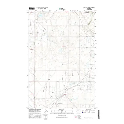 2017 Tenalquot Prairie2017 Print · USGSThurston County's prairies and river valleys are captured here in the late 2010s during a period of steady local development. You can trace the rural road networks and water systems that define Yelm, Rainier, and the historic Tenalquot Prairie landscape.
 - 2020 Map of Tenalquot Prairie, 2020 Print
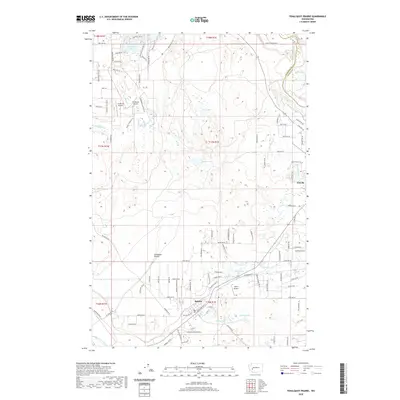 2020 Tenalquot Prairie2020 Print · USGSThe Tenalquot Prairie region south of the Puget Sound is captured here in a period of rural development and residential growth. Genealogists and local historians can trace the roads around Rainier or locate landmarks like Taylor Airport and Lake Saint Clair.
 - 2023 Map of Tenalquot Prairie, 2023 Print
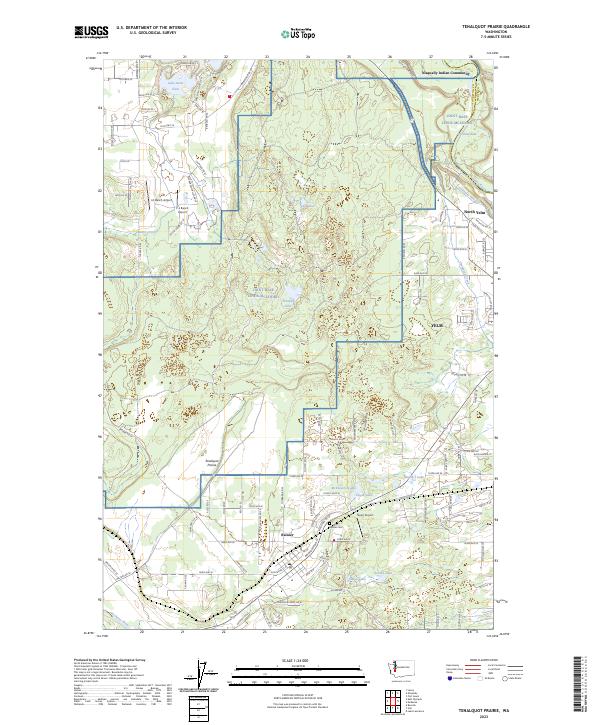 2023 Tenalquot Prairie2023 Print · USGSThurston County’s prairies and river valleys are captured in this recent survey, showing the evolving landscapes of Rainier and YELM. Researchers can trace local landmarks like Rainier Cem and the tribal lands of the Nisqually Indian Community.
End of results
Showing maps 1-16 of 16
Frequently asked questions
- What are the different types of historical maps available for Tahoma Terra?
- What is the oldest map of Tahoma Terra?
- Where can I purchase historical maps of Tahoma Terra for my home or office?
- Where can I download high-res historical maps of Tahoma Terra?
- Are there historical topographic maps available for Tahoma Terra?
- Is there historical aerial imagery available for Tahoma Terra?
- Where are historical maps of Tahoma Terra sourced from?