1900s (20th Century) Maps of Lowden, Washington
Explore 7 historic maps of Lowden from the 1900s (20th Century). These maps offer a rare glimpse into what life looked like during the 1900s — showing old roads, neighborhoods, homes, and landmarks that have changed or disappeared over time.
Whether you're researching your family's past, planning a metal detecting trip, or studying how Lowden's landscape evolved across the 1900s, these high-resolution maps are a powerful tool for exploring the history of this region.
- Focus on a specific era: All maps on this page are from the 1900s, giving you a focused view of this time period.
- See what’s changed: Compare century-old streets, trails, and buildings to today's modern landscape using overlays and satellite layers.
- Research with precision: Use these maps for genealogy, historical research, land use analysis, or educational projects.
- View, download, or print: Maps are fully viewable online in high resolution, and can be downloaded or printed for your own records.
Start exploring Lowden's history through authentic maps from the 1900s. This is your window into the past.
Lowden, WA maps
(7)- 1915 Map of Wallulah
 1915 Wallulah1915 Print · USGSThe convergence of the Snake and Columbia rivers in the mid-1910s reveals a landscape defined by steam power and irrigation. Genealogists and rail historians can trace early settlements like Attalia and Two Rivers alongside the path of the Oregon-Washington RR & Nav Co.
 - 1918 Map of Wallula, 1942 Print
 1918 Wallula1942 Print · USGSThe river-and-rail hubs of the Walla Walla Valley are captured here as they appeared between the world wars. Researchers can trace the path of the Wallula Ferry, locate early country schools like Frog Hallow School, and follow the complex rail lines through Eureka.2 unique versions available
 - 1953 Map of Walla Walla, 1964 Print
 1953 Walla Walla1964 Print · USGSSoutheast Washington enters the atomic and hydroelectric age in the mid-twentieth century as new dams reshape the desert landscape. You can trace the development of the Hanford Works, identify remote rail stops like Novara Siding, and locate the historic Dry Creek Cem.3 unique versions available
 - 1958 Map of Walla Walla
 1958 Walla Walla1958 Print · USGSThe Tri-Cities and Walla Walla region are captured here during the mid-century expansion of atomic energy and river infrastructure. Genealogists and historians can trace the early layout of Richland (AEC), the rural Hatton and Washtucna settlements, and landmarks like Palouse Falls State Park.
 - 1966 Map of Lowden, 1968 Print
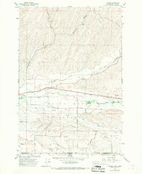 1966 Lowden1968 Print · USGSThe Walla Walla Valley at the Oregon-Washington border in the mid-sixties reveals a sophisticated irrigation network supporting the local agricultural economy. Researchers can trace historic family lands along Frog Hollow Road, the rail corridor of the Union Pacific, and the site of the Frenchtown Monument.
 - 1980 Map of Walla Walla
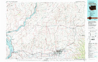 1980 Walla Walla1980 Print · USGSThe Walla Walla Valley in the early eighties shows a landscape of deep-rooted agriculture and massive hydroelectric development. Researchers can trace the rail junctions at Wallula Junction, visit the historic Fort Walla Walla, or locate old landmarks like the Mountain View Cem.2 unique versions available
 - 1991 Map of Lowden, 1992 Print
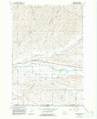 1991 Lowden1992 Print · USGSThe Walla Walla Valley at the start of the 1990s reveals a landscape defined by intensive irrigation and agricultural heritage. Researchers can trace historic water routes like the Burlingame Canal or locate the Frenchtown Monument near Lowden.
End of results
Showing maps 1-7 of 7
Top cities near Lowden
- Walla Walla historical maps
- College Place historical maps
- Milton-Freewater historical maps
- Helix historical maps
Frequently asked questions
- What are the different types of historical maps available for Lowden?
- What is the oldest map of Lowden?
- Where can I purchase historical maps of Lowden for my home or office?
- Where can I download high-res historical maps of Lowden?
- Are there historical topographic maps available for Lowden?
- Is there historical aerial imagery available for Lowden?
- Where are historical maps of Lowden sourced from?