Old Maps of Touchet, Washington for Academic Research
Study the evolution of Touchet with 12 high-resolution historic maps. Whether you're teaching, researching, or modeling changes in land use, these maps provide essential visual documentation of urban, environmental, and geographic change.
- Analyze long-term change: Track patterns in development, transportation, and natural features.
- Ideal for environmental or urban studies: Support academic projects with primary historical map data.
- Use in the classroom or lab: Educators and researchers rely on these maps to bring historical context to life.
These maps are a powerful tool for teaching, research, and visualizing how Touchet has changed over the decades.
Touchet, WA maps
(12)- 1915 Map of Wallulah
 1915 Wallulah1915 Print · USGSThe convergence of the Snake and Columbia rivers in the mid-1910s reveals a landscape defined by steam power and irrigation. Genealogists and rail historians can trace early settlements like Attalia and Two Rivers alongside the path of the Oregon-Washington RR & Nav Co.
 - 1918 Map of Wallula, 1942 Print
 1918 Wallula1942 Print · USGSThe river-and-rail hubs of the Walla Walla Valley are captured here as they appeared between the world wars. Researchers can trace the path of the Wallula Ferry, locate early country schools like Frog Hallow School, and follow the complex rail lines through Eureka.2 unique versions available
 - 1953 Map of Walla Walla, 1964 Print
 1953 Walla Walla1964 Print · USGSSoutheast Washington enters the atomic and hydroelectric age in the mid-twentieth century as new dams reshape the desert landscape. You can trace the development of the Hanford Works, identify remote rail stops like Novara Siding, and locate the historic Dry Creek Cem.3 unique versions available
 - 1958 Map of Walla Walla
 1958 Walla Walla1958 Print · USGSThe Tri-Cities and Walla Walla region are captured here during the mid-century expansion of atomic energy and river infrastructure. Genealogists and historians can trace the early layout of Richland (AEC), the rural Hatton and Washtucna settlements, and landmarks like Palouse Falls State Park.
 - 1966 Map of Touchet, 1967 Print
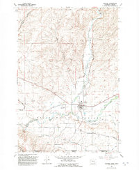
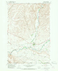 1966 Touchet1967 Print · USGSThe Walla Walla Valley in the mid-sixties reveals a landscape defined by riverside settlements and extensive irrigation. Trace the path of the Union Pacific through Touchet or locate the network of canals like the North Side Touchet Ditch.
 - 1980 Map of Walla Walla
 1980 Walla Walla1980 Print · USGSThe Walla Walla Valley in the early eighties shows a landscape of deep-rooted agriculture and massive hydroelectric development. Researchers can trace the rail junctions at Wallula Junction, visit the historic Fort Walla Walla, or locate old landmarks like the Mountain View Cem.2 unique versions available
 - 1991 Map of Touchet, 1992 Print
 1991 Touchet1992 Print · USGSThe Walla Walla Valley at the start of the nineties reveals a complex network of irrigation ditches and river crossings. Researchers can trace the water-driven economy of Touchet and Gardena through features like the Aqueduct and the Grain Elevator.
 - 2011 Map of Touchet, 2011 Print
 2011 Touchet2011 Print · USGSCovers Touchet, including Gardena, Umatilla County, and other nearby areas
 - 2014 Map of Touchet, 2014 Print
 2014 Touchet2014 Print · USGSCovers Touchet, including Gardena, Umatilla County, and other nearby areas
 - 2017 Map of Touchet, 2017 Print
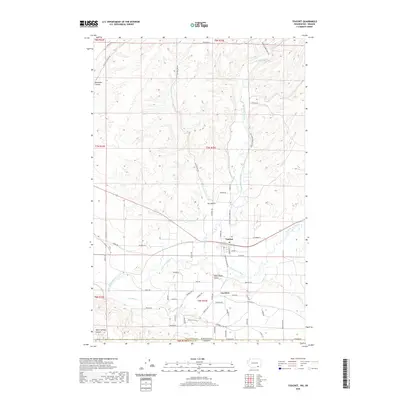
 2017 Touchet2017 Print · USGSCovers Touchet, including Gardena, Umatilla County, and other nearby areas
 - 2020 Map of Touchet, 2020 Print
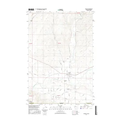
 2020 Touchet2020 Print · USGSCovers Touchet, including Gardena, Umatilla County, and other nearby areas
 - 2023 Map of Touchet, 2023 Print
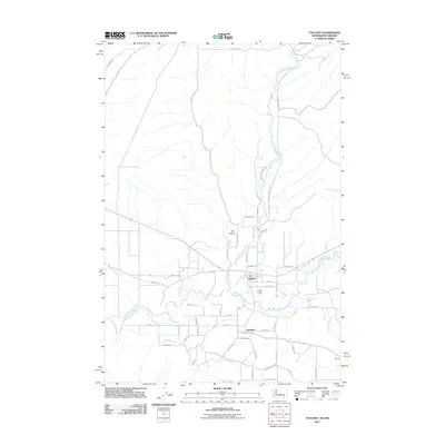
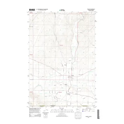
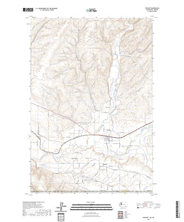 2023 Touchet2023 Print · USGSThe Walla Walla Valley at the start of the 2020s shows a landscape defined by its river confluence and extensive irrigation. Genealogists and researchers can trace local family landmarks and infrastructure like the Gardena Ditch, Touchet West Side Ditch, and the settlement at Gardena.
End of results
Showing maps 1-12 of 12
Top cities near Touchet
Frequently asked questions
- What are the different types of historical maps available for Touchet?
- What is the oldest map of Touchet?
- Where can I purchase historical maps of Touchet for my home or office?
- Where can I download high-res historical maps of Touchet?
- Are there historical topographic maps available for Touchet?
- Is there historical aerial imagery available for Touchet?
- Where are historical maps of Touchet sourced from?