Old Maps of Walters, Washington
Explore 12 old maps of Walters, spanning from 1903 to today. These high-resolution historic maps reveal how streets, neighborhoods, landmarks, and natural features evolved over time — perfect for genealogy, metal detecting, research, and local history exploration.
What you can do with these maps:
- See how Walters changed over time: Compare historical maps to modern-day views to trace roads, homesites, rail lines & more.
- View detailed metadata: Each map includes creators, publishers, year, scale, and archive source.
- Overlay maps with satellite & LiDAR: Visualize the past alongside modern tools to explore terrain & human change.
- Trusted historical sources: Maps sourced from the USGS, Library of Congress, and other archives.
- Access maps your way: View online, download high-res files, or order prints for personal or research use.
Start exploring old maps of Walters to uncover forgotten places, hidden landmarks, and the deep history beneath your feet.
Walters, WA maps
(12)- 1903 Map of Oakesdale
 1903 Oakesdale1903 Print · USGSThe Palouse and South Spokane regions are shown here at the height of the early railroad era. Researchers can trace family history through numerous small grain-stop settlements like Waverly, Latah, and Plaza, or locate family-named landmarks such as Steptoe Butte and Stratton Butte.
 - 1905 Map of Oakesdale
 1905 Oakesdale1905 Print · USGSEastern Washington at the dawn of the twentieth century was a landscape of burgeoning rail hubs and fertile Palouse hills. Genealogists and historians can trace the early layouts of Oakesdale, Tekoa, and Rosalia as they grew alongside the Northern Pacific RR.3 unique versions available
 - 1955 Map of Spokane, 1965 Print
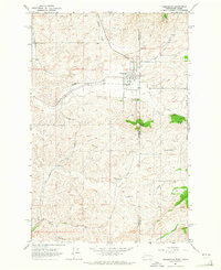
 1955 Spokane1965 Print · USGSInland Empire life in the fifties and sixties centers on the growth of Spokane and the heavy mining industry of northern Idaho. Trace mid-century landmarks like Fairchild Air Force Base, the Bunker Hill Mine, and early campuses such as Gonzaga University.2 unique versions available
 - 1958 Map of Spokane
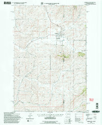
 1958 Spokane1958 Print · USGSThe Inland Empire is shown at a mid-century peak of industrial and military activity, from the rail hubs of Spokane to the deep silver mines of northern Idaho. Researchers can trace the sprawling rail lines of the Union Pacific RR or locate landmarks like Fairchild Air Force Base and the Bunker Hill Smelter & Mine.
 - 1964 Map of Farmington, 1965 Print
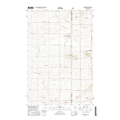
 1964 Farmington1965 Print · USGSCrossing the Washington-Idaho border in the 1960s, this survey reveals the agricultural and rail-dependent landscape around Farmington. Local historians can trace the paths of the Union Pacific and Great Northern railroads or locate family plots at Silver Creek Cemetery.2 unique versions available
 - 1984 Map of Rosalia
 1984 Rosalia1984 Print · USGSThe Palouse region of Eastern Washington and the Idaho borderlands are shown here in the mid-1980s, a landscape of rolling wheat fields and vital rail corridors. Genealogists and historians can trace the early layout of Cheney, the rail junctions at Rosalia, and the distinct topography of Steptoe Butte.
 - 1994 Map of Farmington, 1997 Print
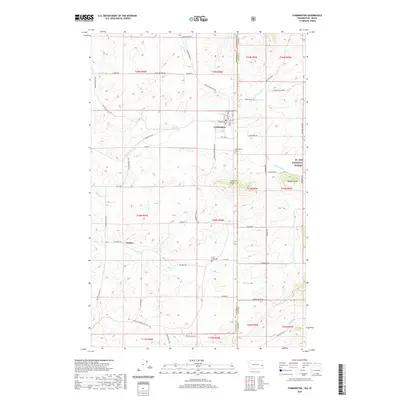
 1994 Farmington1997 Print · USGSThe Palouse hills of eastern Washington meet the Idaho timberland in the mid-1990s as the rail era transitions. Trace family history at Farmington Cemetery and follow the old lines of the Union Pacific and Burlington Northern railroads.2 unique versions available
 - 2011 Map of Farmington, 2011 Print
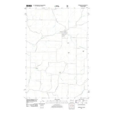 2011 Farmington2011 Print · USGSCovers Walters, including Farmington, Whitman County, and other nearby areas
 - 2014 Map of Farmington, 2014 Print
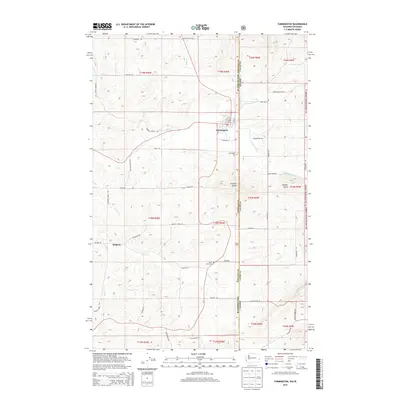 2014 Farmington2014 Print · USGSCovers Walters, including Farmington, Whitman County, and other nearby areas
 - 2017 Map of Farmington, 2017 Print
 2017 Farmington2017 Print · USGSCovers Walters, including Farmington, Whitman County, and other nearby areas
 - 2020 Map of Farmington, 2020 Print
 2020 Farmington2020 Print · USGSCovers Walters, including Farmington, Whitman County, and other nearby areas
 - 2023 Map of Farmington, 2023 Print
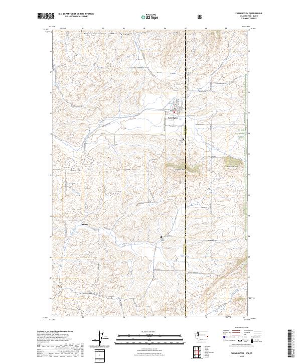 2023 Farmington2023 Print · USGSThe Palouse hills meet the forest edge in the 2020s as agriculture and timber define the landscape near the Washington-Idaho line. Researchers can trace the rural layout of Farmington and Walters, finding local history at Farmington Cem and Silver Creek Cem.
End of results
Showing maps 1-12 of 12
Top cities near Walters
- Colfax historical maps
- Palouse historical maps
- Tekoa historical maps
- Potlatch historical maps
- Garfield historical maps
- Oakesdale historical maps
See more
Frequently asked questions
- What are the different types of historical maps available for Walters?
- What is the oldest map of Walters?
- Where can I purchase historical maps of Walters for my home or office?
- Where can I download high-res historical maps of Walters?
- Are there historical topographic maps available for Walters?
- Is there historical aerial imagery available for Walters?
- Where are historical maps of Walters sourced from?