Old Maps of Napier, West Virginia for Genealogy
Trace your family roots with 15 historic maps of Napier. These high-res maps reveal old neighborhoods, homesites, landmarks, and streets — helping you uncover where your ancestors lived and how the area evolved over time.
- Explore historic neighborhoods: Identify where your relatives may have lived in the 1800s or 1900s.
- Compare maps over time: Trace the changes in streets, buildings, and landmarks for multi-generational research.
- Perfect for genealogy & ancestry research: Used by family historians and researchers to map out lineage and migration.
These maps are an incredible resource for exploring your personal connection to Napier's past.
Napier, WV maps
(15)- 1893 Map of Sutton
 1893 Sutton1893 Print · USGSCentral West Virginia at the end of the nineteenth century was a world of river-bottom settlements and high mountain ridges. Genealogists can locate family-named landmarks like Bealls Mills, Hickory Knob, and the riverside town of Sutton.3 unique versions available
 - 1906 Map of Burnsville
 1906 Burnsville1906 Print · USGSCentral West Virginia at the turn of the century reveals a landscape of river-fed mills and mountain post offices. Trace family roots and early industry through Burnsville, Bulltown, and the various local works at Falls Mill and Bealls Mills.2 unique versions available
 - 1925 Map of Burnsville, 1964 Print
 1925 Burnsville1964 Print · USGSCentral West Virginia's rugged river valleys come alive in the mid-1920s, showing the dense network of hill-country settlements and schools. Genealogists can trace family footprints near Bealls Mills, Stouts Mills, or the many rural schoolhouses like Slidinghill School.
 - 1927 Map of Burnsville
 1927 Burnsville1927 Print · USGSCentral West Virginia in the late twenties was a land of river-side rail hubs and secluded valley schools. Genealogists can trace family lines through dozens of local landmarks like Roalls Mills, St Bernards Church, and the Sand Fork PO.3 unique versions available
 - 1954 Map of Charleston
 1954 Charleston1954 Print · USGSWest Virginia’s industrial heart and mountain highlands are captured here during the mid-fifties, centered on the capital city. Researchers can trace historic river-and-rail corridors along the Kanawha River and locate remote peaks within the Monongahela National Forest.
 - 1957 Map of Charleston, 1966 Print
 1957 Charleston1966 Print · USGSMid-century West Virginia unfolds along the industrial Kanawha River valley and into the high Allegheny Mountains. Genealogists and historians can trace the vital rail lines of the Chesapeake and Ohio and locate riverside settlements from Saint Albans to Buckhannon.3 unique versions available
 - 1958 Map of Charleston
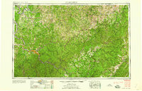 1958 Charleston1958 Print · USGSMid-century West Virginia is defined here by the industrial corridor of the Kanawha River and the high ridges of the Allegheny Mountains. Researchers can trace the rail networks of the New York Central or locate remote highland communities like Pickens and Hillsboro.
 - 1961 Map of Charleston
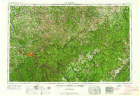 1961 Charleston1961 Print · USGSWest Virginia's capital region and the highlands to the east are shown in detail during the early sixties. Genealogists and historians can trace rail networks like the Baltimore and Ohio RR and find early state parks such as Watoga State Park.
 - 1965 Map of Orlando, 1967 Print
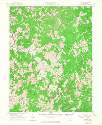 1965 Orlando1967 Print · USGSCentral West Virginia's river valleys and rail lines come alive in the mid-1960s as the Little Kanawha River snakes past small settlements and timbered ridges. Genealogists and local historians can locate many rural landmarks, including St Michaels Ch, Falls Mill, and the Ratcliff Sch.3 unique versions available
 - 1981 Map of Sutton, 1982 Print
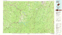 1981 Sutton1982 Print · USGSCentral West Virginia's mountain ridges and river valleys are captured here during the early eighties, as Interstate 79 began to modernize the region. Trace old rail lines like the Western Maryland Railway or explore the terrain around Sutton Lake and Helvetia.
 - 2010 Map of Orlando, 2010 Print
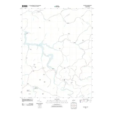 2010 Orlando2010 Print · USGSBraxton County's river valleys and ridgelines are shown here in the era following the creation of Burnsville Lake. Genealogists can locate family burial sites at Orlando Cem and Knawl Creek Cemetery or trace old routes like the Gauley Tpke.
 - 2014 Map of Orlando, 2014 Print
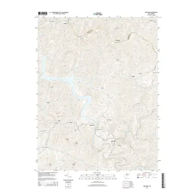 2014 Orlando2014 Print · USGSThe headwaters of the Little Kanawha River meet the waters of Burnsville Lake in this 2014 survey of the Braxton and Lewis County line. Genealogists can trace family names through landmarks like Knawl Creek Cem, Bulltown, and Highwood Cem.
 - 2016 Map of Orlando, 2016 Print
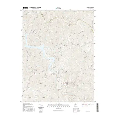 2016 Orlando2016 Print · USGSBraxton and Lewis Counties are captured here at a time when the waters of Burnsville Lake define the central valleys. Researchers can trace the Gauley Tpke and locate family burial grounds like Big Run Cem or the remote Chop Fork Cem.
 - 2019 Map of Orlando, 2019 Print
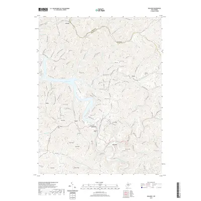 2019 Orlando2019 Print · USGSThe hills of Braxton and Lewis counties are shown in detail as they appeared in 2019, centered on the complex shoreline of Burnsville Lake. Researchers can locate numerous family burial sites like Casto Cem and Big Run Cem, or trace historic routes such as the Gauley Tpke and Bulltown Bridge.
 - 2023 Map of Orlando, 2023 Print
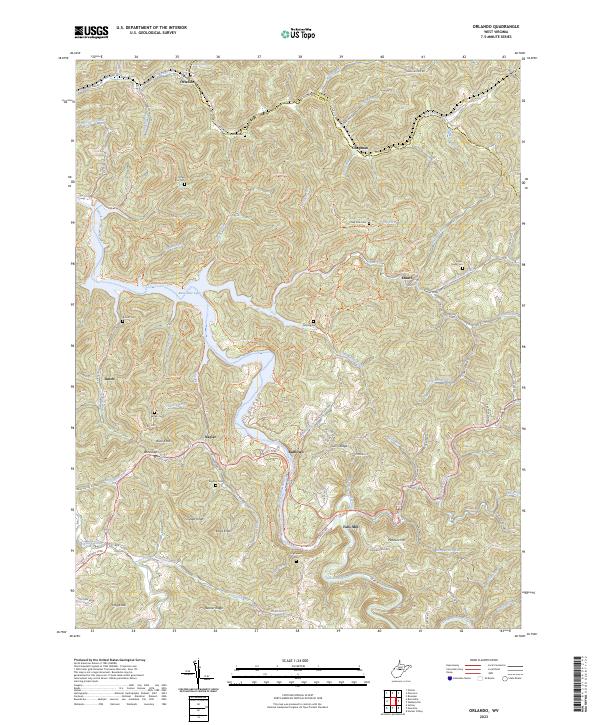 2023 Orlando2023 Print · USGSBraxton County upland life is centered around Burnsville Lake and the winding Little Kanawha River in the early twenty-first century. Genealogists can locate numerous family burial sites like Highwood Cemetery and Ratcliff Cemetery along the historic Gauley Turnpike.
End of results
Showing maps 1-15 of 15
Top cities near Napier
- Sutton historical maps
- Gassaway historical maps
- Burnsville historical maps
- Flatwoods historical maps
- Sand Fork historical maps
Frequently asked questions
- What are the different types of historical maps available for Napier?
- What is the oldest map of Napier?
- Where can I purchase historical maps of Napier for my home or office?
- Where can I download high-res historical maps of Napier?
- Are there historical topographic maps available for Napier?
- Is there historical aerial imagery available for Napier?
- Where are historical maps of Napier sourced from?