Old Maps of Tesla, West Virginia for Academic Research
Study the evolution of Tesla with 14 high-resolution historic maps. Whether you're teaching, researching, or modeling changes in land use, these maps provide essential visual documentation of urban, environmental, and geographic change.
- Analyze long-term change: Track patterns in development, transportation, and natural features.
- Ideal for environmental or urban studies: Support academic projects with primary historical map data.
- Use in the classroom or lab: Educators and researchers rely on these maps to bring historical context to life.
These maps are a powerful tool for teaching, research, and visualizing how Tesla has changed over the decades.
Tesla, WV maps
(14)- 1893 Map of Sutton
 1893 Sutton1893 Print · USGSCentral West Virginia at the end of the nineteenth century was a world of river-bottom settlements and high mountain ridges. Genealogists can locate family-named landmarks like Bealls Mills, Hickory Knob, and the riverside town of Sutton.3 unique versions available
 - 1908 Map of Sutton
 1908 Sutton1908 Print · USGSSutton and the surrounding river valleys are captured at the height of the early twentieth-century rail era. Genealogists and historians can trace defunct mountain post offices and rail stops like Hyer PO, Tesla, and Bakers Run PO along the Baltimore and Ohio Railroad.2 unique versions available
 - 1910 Map of Sutton Special
 1910 Sutton Special1910 Print · USGSCentral West Virginia at the end of the first decade of the 1900s shows a landscape transformed by river-valley railroads. Genealogists can trace family roots through hillside settlements like Flatwoods and Centralia or locate early post offices at Gillespie Hyer PO and Bakers Run Levi PO.3 unique versions available
 - 1954 Map of Charleston
 1954 Charleston1954 Print · USGSWest Virginia’s industrial heart and mountain highlands are captured here during the mid-fifties, centered on the capital city. Researchers can trace historic river-and-rail corridors along the Kanawha River and locate remote peaks within the Monongahela National Forest.
 - 1957 Map of Charleston, 1966 Print
 1957 Charleston1966 Print · USGSMid-century West Virginia unfolds along the industrial Kanawha River valley and into the high Allegheny Mountains. Genealogists and historians can trace the vital rail lines of the Chesapeake and Ohio and locate riverside settlements from Saint Albans to Buckhannon.3 unique versions available
 - 1958 Map of Charleston
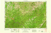 1958 Charleston1958 Print · USGSMid-century West Virginia is defined here by the industrial corridor of the Kanawha River and the high ridges of the Allegheny Mountains. Researchers can trace the rail networks of the New York Central or locate remote highland communities like Pickens and Hillsboro.
 - 1961 Map of Charleston
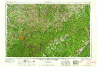 1961 Charleston1961 Print · USGSWest Virginia's capital region and the highlands to the east are shown in detail during the early sixties. Genealogists and historians can trace rail networks like the Baltimore and Ohio RR and find early state parks such as Watoga State Park.
 - 1967 Map of Little Birch, 1968 Print
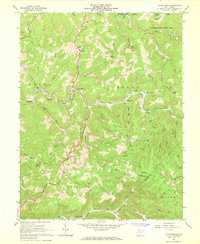 1967 Little Birch1968 Print · USGSBraxton and Nicholas counties are captured here in the late sixties, showing a landscape of winding river valleys and narrow ridges. Researchers can trace rural life through sites like Crites Mtn Sch, Tesla, and several historic cemeteries.2 unique versions available
 - 1981 Map of Sutton, 1982 Print
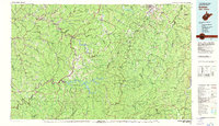 1981 Sutton1982 Print · USGSCentral West Virginia's mountain ridges and river valleys are captured here during the early eighties, as Interstate 79 began to modernize the region. Trace old rail lines like the Western Maryland Railway or explore the terrain around Sutton Lake and Helvetia.
 - 2010 Map of Little Birch, 2010 Print
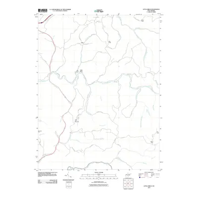 2010 Little Birch2010 Print · USGSLittle Birch and its surrounding Braxton County hollows are captured here in the early twenty-first century. Genealogists and local historians can trace the paths of the Old Turnpike Rd and locate landmarks like the Little Birch Post Office, Tesla, and Barnette Hill.
 - 2014 Map of Little Birch, 2014 Print
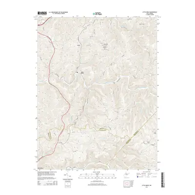 2014 Little Birch2014 Print · USGSBraxton County ridge-and-valley life is well-documented in this recent survey of the Central West Virginia highlands. Genealogists can trace family footprints across Bug Ridge and Barker Ridge, identifying sites like Elizabeth Chapel Cem and the remote Tesla settlement.
 - 2016 Map of Little Birch, 2016 Print
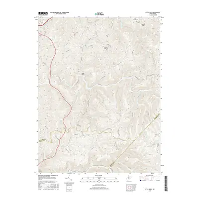 2016 Little Birch2016 Print · USGSLittle Birch and the rugged borders of Braxton, Nicholas, and Webster Counties are documented here during the mid-2010s. Researchers can trace ancestral sites like Hoover Cem and Hickory Flats Cem or explore the mountain terrain surrounding Little Birch Mtn.
 - 2019 Map of Little Birch, 2019 Print
 2019 Little Birch2019 Print · USGSLittle Birch and the surrounding Braxton County hills are shown in detail during the late 2010s. Genealogists and local historians can locate several family burial sites and rural communities, including Hickory Flats, Hoover Cem, and Elizabeth Chapel Cem.
 - 2023 Map of Little Birch, 2023 Print
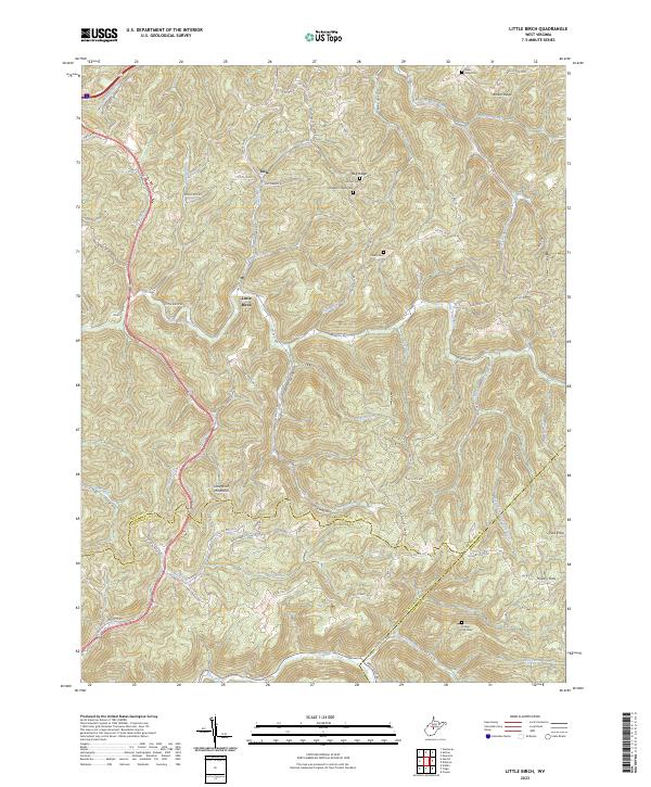 2023 Little Birch2023 Print · USGSThe rugged highlands of Braxton and Nicholas counties are documented here as they appeared in the early 21st century. Genealogists can trace ancestral sites at Hoover Cem, Hickory Flats Cem, and the old crossroads at Tesla and Hickory Flats.
End of results
Showing maps 1-14 of 14
Top cities near Tesla
Frequently asked questions
- What are the different types of historical maps available for Tesla?
- What is the oldest map of Tesla?
- Where can I purchase historical maps of Tesla for my home or office?
- Where can I download high-res historical maps of Tesla?
- Are there historical topographic maps available for Tesla?
- Is there historical aerial imagery available for Tesla?
- Where are historical maps of Tesla sourced from?