Old Maps of Kidtown, West Virginia for Hiking & Exploration
Hike through history with 13 historic maps of Kidtown. Explore old trails, ghost towns, and forgotten backroads — perfect for outdoor adventurers and local explorers.
- Rediscover forgotten places: Map out old mining camps, roads, and footpaths that no longer exist on modern maps.
- Layer with modern tools: Combine with LiDAR or satellite views to plan hikes through historical terrain.
- Made for exploration: Popular among hikers, overlanders, and local history lovers.
Use these maps to find adventure and explore the hidden past of Kidtown.
Kidtown, WV maps
(13)- 1906 Map of Otter, 1961 Print
 1906 Otter1961 Print · USGSCentral West Virginia at the start of the twentieth century shows a landscape of deep hollows and high ridges before modern highways. Researchers can trace early settlements and family homesteads near Ivydale, Newton, and the remote Redhouse Siding along the Elk River.
 - 1907 Map of Otter
 1907 Otter1907 Print · USGSCentral West Virginia at the turn of the century shows a landscape defined by its river valleys and new industrial rails. Genealogists can trace family homes near Newton, Linden, and Minnora, or follow the path of the Coal and Coke R R through Ivydale.3 unique versions available
 - 1954 Map of Charleston
 1954 Charleston1954 Print · USGSWest Virginia’s industrial heart and mountain highlands are captured here during the mid-fifties, centered on the capital city. Researchers can trace historic river-and-rail corridors along the Kanawha River and locate remote peaks within the Monongahela National Forest.
 - 1957 Map of Charleston, 1966 Print
 1957 Charleston1966 Print · USGSMid-century West Virginia unfolds along the industrial Kanawha River valley and into the high Allegheny Mountains. Genealogists and historians can trace the vital rail lines of the Chesapeake and Ohio and locate riverside settlements from Saint Albans to Buckhannon.3 unique versions available
 - 1958 Map of Charleston
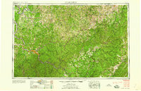 1958 Charleston1958 Print · USGSMid-century West Virginia is defined here by the industrial corridor of the Kanawha River and the high ridges of the Allegheny Mountains. Researchers can trace the rail networks of the New York Central or locate remote highland communities like Pickens and Hillsboro.
 - 1961 Map of Charleston
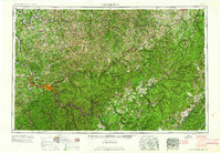 1961 Charleston1961 Print · USGSWest Virginia's capital region and the highlands to the east are shown in detail during the early sixties. Genealogists and historians can trace rail networks like the Baltimore and Ohio RR and find early state parks such as Watoga State Park.
 - 1966 Map of Ivydale, 1968 Print
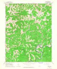 1966 Ivydale1968 Print · USGSIn the mid-1960s, the Elk River valley remained a landscape of winding railroads and ridge-top communities. Genealogists and hikers can trace the paths between Otterlick Community, Ivydale, and old country landmarks like Zion Hill Ch.2 unique versions available
 - 1984 Map of Ripley
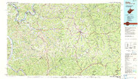 1984 Ripley1984 Print · USGSThe West Virginia riverfront and interior highlands are captured here in the mid-eighties as energy production reshaped the landscape. Researchers can trace the Ohio River industrial corridor through Ravenswood or locate smaller inland communities like Gandeeville and Reedy.
 - 2011 Map of Ivydale, 2011 Print
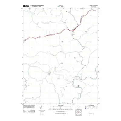 2011 Ivydale2011 Print · USGSThe Elk River valley in the early twenty-first century reveals a landscape of enduring rural settlements and family landmarks. Researchers can trace the heritage of small communities like Ivydale and Kidtown or locate the Big Otter Post Office and Murphy Cemetery.
 - 2014 Map of Ivydale, 2014 Print
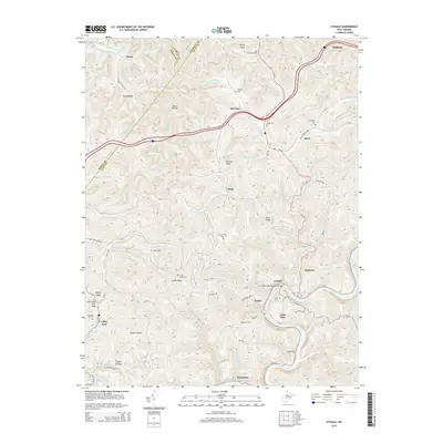 2014 Ivydale2014 Print · USGSClay and Roane counties are shown here as they appeared in 2014, defined by the winding Elk River and a deep network of hollows. Local historians can trace family roots through numerous sites like Little Laurel Cem, Cherrytree Cem, and the settlement at Big Otter.
 - 2016 Map of Ivydale, 2016 Print
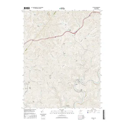 2016 Ivydale2016 Print · USGSThe Elk River valley and the hills of Clay and Roane counties are shown here during the mid-2010s. Genealogists and historians can locate numerous family burial sites such as Murphy Cem and Chapman Cem, or trace the winding roads connecting Ivydale and Big Otter.
 - 2019 Map of Ivydale, 2019 Print
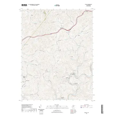 2019 Ivydale2019 Print · USGSThe tri-county borderlands of West Virginia are mapped here in the late 2010s, centered on the Elk River and the community of Ivydale. Researchers can locate several family burial sites including Murphy Cem and Little Laurel Cem tucked between high knobs and hollows.
 - 2023 Map of Ivydale, 2023 Print
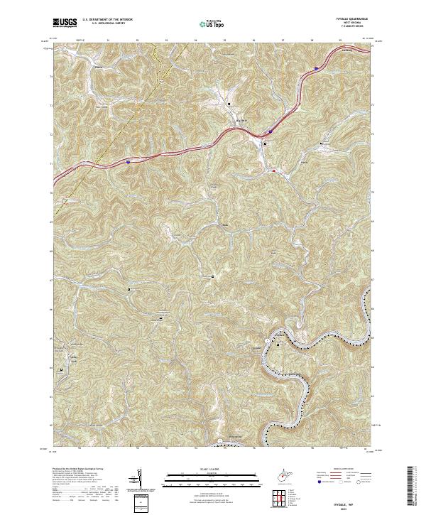 2023 Ivydale2023 Print · USGSCentral West Virginia's rugged creek-bottom settlements and high ridges are shown here in the early 2020s. Genealogists and local historians can trace family locations through numerous sites like Little Laurel Missionary Baptist Church and Murphy Cem.
End of results
Showing maps 1-13 of 13
Top cities near Kidtown
Frequently asked questions
- What are the different types of historical maps available for Kidtown?
- What is the oldest map of Kidtown?
- Where can I purchase historical maps of Kidtown for my home or office?
- Where can I download high-res historical maps of Kidtown?
- Are there historical topographic maps available for Kidtown?
- Is there historical aerial imagery available for Kidtown?
- Where are historical maps of Kidtown sourced from?