Old Maps of Widen, West Virginia for Genealogy
Trace your family roots with 16 historic maps of Widen. These high-res maps reveal old neighborhoods, homesites, landmarks, and streets — helping you uncover where your ancestors lived and how the area evolved over time.
- Explore historic neighborhoods: Identify where your relatives may have lived in the 1800s or 1900s.
- Compare maps over time: Trace the changes in streets, buildings, and landmarks for multi-generational research.
- Perfect for genealogy & ancestry research: Used by family historians and researchers to map out lineage and migration.
These maps are an incredible resource for exploring your personal connection to Widen's past.
Widen, WV maps
(16)- 1889 Map of Nicholas
 1889 Nicholas1889 Print · USGSNicholas County and parts of the surrounding highlands are documented here in the late nineteenth century. Genealogists can trace family landmarks and river life through recorded sites like Carnifax Ferry, Beaver Mills, and Mt. Nebo.
 - 1891 Map of Nicholas
 1891 Nicholas1891 Print · USGSNicholas County and the surrounding highlands are captured here in the late nineteenth century, when mountain life depended on a network of river crossings. Genealogists can trace family roots through sites like Nicholas C.h., Hookersville, and early river crossings such as Carnifax Ferry.
 - 1901 Map of Nicholas
 1901 Nicholas1901 Print · USGSCentral West Virginia's river valleys and high ridges are shown here at the turn of the century as the timber industry expanded. Genealogists can trace family landmarks and river crossings like Camden on Gauley, Wainville P.O., and Bays Ferry Ford.3 unique versions available
 - 1913 Map of Summersville
 1913 Summersville1913 Print · USGSNicholas County and its rural crossroads are documented here in the early twentieth century, showing a network of mountain communities and schools. Researchers can locate family landmarks and early infrastructure like Persinger Ford, Beulah Church, and the Lone Star School.3 unique versions available
 - 1915 Map of Summersville
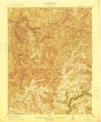 1915 Summersville1915 Print · USGSNicholas County at the start of the Great War was a landscape of high ridges and isolated mountain hollows. Genealogists can locate family homesteads near numerous local institutions like Eberly School or trace old river crossings at Persinger Ford.3 unique versions available
 - 1954 Map of Charleston
 1954 Charleston1954 Print · USGSWest Virginia’s industrial heart and mountain highlands are captured here during the mid-fifties, centered on the capital city. Researchers can trace historic river-and-rail corridors along the Kanawha River and locate remote peaks within the Monongahela National Forest.
 - 1957 Map of Charleston, 1966 Print
 1957 Charleston1966 Print · USGSMid-century West Virginia unfolds along the industrial Kanawha River valley and into the high Allegheny Mountains. Genealogists and historians can trace the vital rail lines of the Chesapeake and Ohio and locate riverside settlements from Saint Albans to Buckhannon.3 unique versions available
 - 1958 Map of Charleston
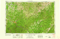 1958 Charleston1958 Print · USGSMid-century West Virginia is defined here by the industrial corridor of the Kanawha River and the high ridges of the Allegheny Mountains. Researchers can trace the rail networks of the New York Central or locate remote highland communities like Pickens and Hillsboro.
 - 1961 Map of Charleston
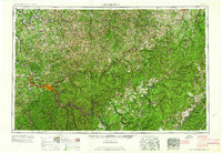 1961 Charleston1961 Print · USGSWest Virginia's capital region and the highlands to the east are shown in detail during the early sixties. Genealogists and historians can trace rail networks like the Baltimore and Ohio RR and find early state parks such as Watoga State Park.
 - 1967 Map of Widen, 1968 Print
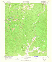 1967 Widen1968 Print · USGSThe rugged coal country of Nicholas and Clay counties is captured here in the late sixties. Genealogists and industrial historians can trace the company town of Widen, find local landmarks like Little Creek Union Ch, and locate family plots at Butcher Cem.2 unique versions available
 - 1979 Map of Marlinton, 1982 Print
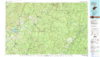 1979 Marlinton1982 Print · USGSThe West Virginia highlands are shown in detail during the late seventies, featuring the dense rail networks and mountain towns of the Allegheny range. Researchers can trace family roots through sites like Buckeye Cem, Mount Nebo Ch, and the lumber and coal hubs of Richwood and Rainelle.
 - 2010 Map of Widen, 2010 Print
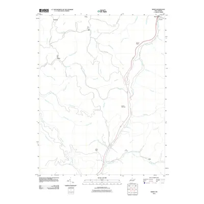 2010 Widen2010 Print · USGSThe rugged coal and timber country of central West Virginia is shown here in the early 2000s, centered on the community of Widen. Researchers can trace local lineage through Butcher Cemetery or locate the historic Dille Post Office and Wattsville.
 - 2014 Map of Widen, 2014 Print
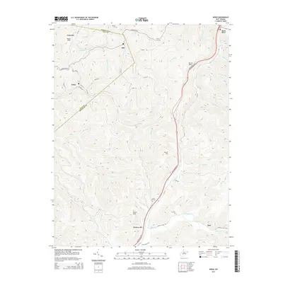 2014 Widen2014 Print · USGSCentral West Virginia's coal and timber country is shown here in the early twenty-first century as it spans the Nicholas and Clay County line. Researchers can trace family sites and remote settlements like Widen, Hookersville, and Opal, alongside local landmarks like Spruce Run Cemetery.
 - 2016 Map of Widen, 2016 Print
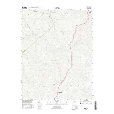 2016 Widen2016 Print · USGSThe rural communities of Widen and Hookersville are captured in this 2016 survey of the Nicholas and Clay County borderlands. Researchers can trace family history at Butcher Cemetery and Hill Cemetery or follow the winding course of Strange Creek.
 - 2019 Map of Widen, 2019 Print
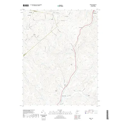 2019 Widen2019 Print · USGSNicholas and Clay Counties at the end of the 2010s remain defined by the deep valleys and high ridges of the central West Virginia coalfields. Researchers can locate remote burial grounds like Butcher Cemetery and trace the town site of Widen near the waters of Buffalo Creek.
 - 2023 Map of Widen, 2023 Print
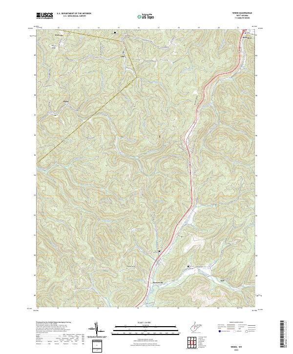 2023 Widen2023 Print · USGSThe Nicholas County highlands are mapped here in the early twenty-first century, showing the remote settlements of Widen and Hookersville. Genealogists can trace family landmarks like Butcher Cem, Spruce Run Cem, and the heights of Powell Mountain.
End of results
Showing maps 1-16 of 16
Top cities near Widen
- Summersville historical maps
- Craigsville historical maps
- Sutton historical maps
- Gassaway historical maps
- Clay historical maps
- Persinger Ford historical maps
Frequently asked questions
- What are the different types of historical maps available for Widen?
- What is the oldest map of Widen?
- Where can I purchase historical maps of Widen for my home or office?
- Where can I download high-res historical maps of Widen?
- Are there historical topographic maps available for Widen?
- Is there historical aerial imagery available for Widen?
- Where are historical maps of Widen sourced from?