Old Maps of Miletus, West Virginia for Academic Research
Study the evolution of Miletus with 14 high-resolution historic maps. Whether you're teaching, researching, or modeling changes in land use, these maps provide essential visual documentation of urban, environmental, and geographic change.
- Analyze long-term change: Track patterns in development, transportation, and natural features.
- Ideal for environmental or urban studies: Support academic projects with primary historical map data.
- Use in the classroom or lab: Educators and researchers rely on these maps to bring historical context to life.
These maps are a powerful tool for teaching, research, and visualizing how Miletus has changed over the decades.
Miletus, WV maps
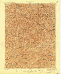
(14)- 1904 Map of Vadis
 1904 Vadis1904 Print · USGSLewis and Doddridge counties appear here at the start of the twentieth century, showing a landscape shaped by narrow creek valleys and small upland farms. Genealogists can trace family footprints in historic settlements like Vadis, Freemansburg, and St.Clare.2 unique versions available
 - 1925 Map of Vadis, 1981 Print
 1925 Vadis1981 Print · USGSCentral West Virginia's highlands in the mid-twenties reveal a landscape of hollows and ridges dotted with one-room schoolhouses and country parishes. Genealogists can trace family roots through numerous sites like St Marys Church, Vadis, and Lower Walnut School.
 - 1927 Map of Vadis
 1927 Vadis1927 Print · USGSWest Virginia's central highlands are shown here in the mid-1920s, a landscape defined by isolated farmsteads and valley-bottom settlements. Genealogists and historians can trace dozens of rural school sites and landmarks like St Boniface Church, Alum Bridge, and Freemansburg.2 unique versions available
 - 1949 Map of Clarksburg
 1949 Clarksburg1949 Print · USGSThe upper Ohio River valley and the industrial heart of West Virginia come into focus during this post-war period. Genealogists and researchers can trace the rail corridors of the Baltimore and Ohio and locate centers like Fairmont, Grafton, and Waynesburg.
 - 1956 Map of Clarksburg, 1966 Print
 1956 Clarksburg1966 Print · USGSThe Ohio River valley and the industrial heart of West Virginia are seen here in the mid-1950s as rail and river commerce thrived. Researchers can trace historic transport lines like the Baltimore and Ohio RR and locate ancestral homes in Clarksburg, Moundsville, or Parkersburg.2 unique versions available
 - 1961 Map of Clarksburg
 1961 Clarksburg1961 Print · USGSThe mid-century industrial and river landscapes of West Virginia and Ohio are detailed here, centered on the Ohio River. Researchers can trace the Baltimore and Ohio rail lines connecting towns like Parkersburg, Clarksburg, and Monongah.
 - 1964 Map of Big Isaac, 1966 Print
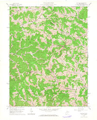 1964 Big Isaac1966 Print · USGSHarrison and Doddridge counties were centers of rural industry in the mid-1960s, defined by the gas and oil economy. Researchers can trace family sites near Big Isaac and Kincheloe or locate community centers like Morris Chapel and Greenbrier Sch.2 unique versions available
 - 1982 Map of Clarksburg, 1983 Print
 1982 Clarksburg1983 Print · USGSNorth Central West Virginia in the early eighties reveals a landscape deeply connected to its coal and gas resources. Genealogists and researchers can trace family landmarks and historical settlements from Clarksburg to Buckhannon, or locate sites like Quiet Dell and Watters Smith Memorial State Park.
 - 1988 Map of Clarksburg, 1989 Print
 1988 Clarksburg1989 Print · USGSThe central Appalachians are documented in detail during the late eighties, showing the industrial and river-based economies of West Virginia, Ohio, and Pennsylvania. Researchers can trace historic rail routes like the B & O RR and locate river towns from St Marys to Parkersburg.
 - 2011 Map of Big Isaac, 2011 Print
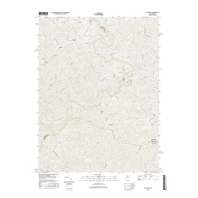
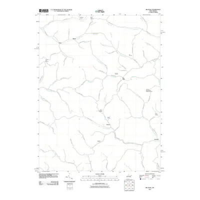 2011 Big Isaac2011 Print · USGSCovers Miletus, including Kincheloe, Zinnia, and other nearby areas
 - 2014 Map of Big Isaac, 2014 Print
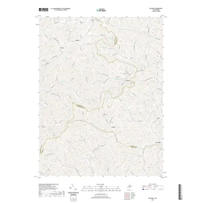
 2014 Big Isaac2014 Print · USGSCovers Miletus, including Kincheloe, Zinnia, and other nearby areas
 - 2016 Map of Big Isaac, 2016 Print
 2016 Big Isaac2016 Print · USGSCovers Miletus, including Kincheloe, Zinnia, and other nearby areas
 - 2019 Map of Big Isaac, 2019 Print
 2019 Big Isaac2019 Print · USGSCovers Miletus, including Kincheloe, Zinnia, and other nearby areas
 - 2023 Map of Big Isaac, 2023 Print
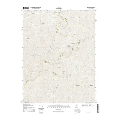
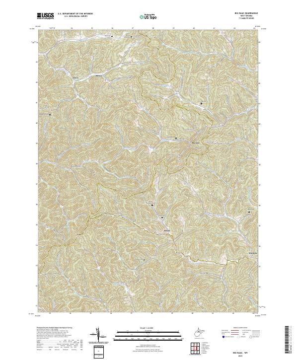 2023 Big Isaac2023 Print · USGSHarrison and Doddridge Counties in the early twenty-first century remain defined by their narrow stream valleys and hilltop ridges. Genealogists can trace family locations near Big Isaac, Miletus, and numerous rural burial grounds like Mount Carmel Cem and Freeman Cem.
End of results
Showing maps 1-14 of 14
Top cities near Miletus
- Clarksburg historical maps
- Weston historical maps
- Salem historical maps
- West Union historical maps
- West Milford historical maps
- Jane Lew historical maps
See more
Frequently asked questions
- What are the different types of historical maps available for Miletus?
- What is the oldest map of Miletus?
- Where can I purchase historical maps of Miletus for my home or office?
- Where can I download high-res historical maps of Miletus?
- Are there historical topographic maps available for Miletus?
- Is there historical aerial imagery available for Miletus?
- Where are historical maps of Miletus sourced from?