Old Maps of Perkins, West Virginia for Metal Detecting
Plan your next treasure hunt with 15 historic maps of Perkins. Find old homesites, ghost towns, trails, and gathering spots that may be lost to time — perfect for identifying promising metal detecting locations.
- Locate forgotten sites: Uncover places like long-lost settlements, abandoned rail lines, or gathering spots.
- Plan better hunts: Use map overlays combined with LiDAR or satellite views to narrow in on historically rich areas.
- Made for detectorists: Thousands of hobbyists use these maps to discover relics, coins, and hidden history.
Use these historic maps to boost your research and find new opportunities beneath the surface of Perkins.
Perkins, WV maps
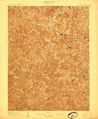
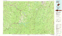
(15)- 1893 Map of Sutton
 1893 Sutton1893 Print · USGSCentral West Virginia at the end of the nineteenth century was a world of river-bottom settlements and high mountain ridges. Genealogists can locate family-named landmarks like Bealls Mills, Hickory Knob, and the riverside town of Sutton.3 unique versions available
 - 1906 Map of Glenville
 1906 Glenville1906 Print · USGSThe Little Kanawha River valley in the early 1900s was a landscape of remote hills and riverfront hamlets. Genealogists can trace family connections in vanished post offices and creek-side settlements like Stumptown, Lettergap, and Dekalb.2 unique versions available
 - 1925 Map of Glenville, 1962 Print
 1925 Glenville1962 Print · USGSGilmer and Braxton Counties appear in the mid-1920s as a landscape of river-valley hamlets and dozens of one-room schoolhouses. Genealogists can trace family roots through specific landmarks like Otterbein Church, Stumptown, and the Lynch Run School.
 - 1928 Map of Glenville
 1928 Glenville1928 Print · USGSWest Virginia's central hills in the late twenties are captured here, centered on the Little Kanawha River and its upland communities. Genealogists can locate dozens of country schools and churches, including Peachtree School, Sugar Grove School, and Poplar Tree Church.2 unique versions available
 - 1954 Map of Charleston
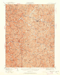
 1954 Charleston1954 Print · USGSWest Virginia’s industrial heart and mountain highlands are captured here during the mid-fifties, centered on the capital city. Researchers can trace historic river-and-rail corridors along the Kanawha River and locate remote peaks within the Monongahela National Forest.
 - 1957 Map of Charleston, 1966 Print
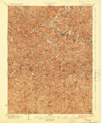
 1957 Charleston1966 Print · USGSMid-century West Virginia unfolds along the industrial Kanawha River valley and into the high Allegheny Mountains. Genealogists and historians can trace the vital rail lines of the Chesapeake and Ohio and locate riverside settlements from Saint Albans to Buckhannon.3 unique versions available
 - 1958 Map of Charleston
 1958 Charleston1958 Print · USGSMid-century West Virginia is defined here by the industrial corridor of the Kanawha River and the high ridges of the Allegheny Mountains. Researchers can trace the rail networks of the New York Central or locate remote highland communities like Pickens and Hillsboro.
 - 1961 Map of Charleston
 1961 Charleston1961 Print · USGSWest Virginia's capital region and the highlands to the east are shown in detail during the early sixties. Genealogists and historians can trace rail networks like the Baltimore and Ohio RR and find early state parks such as Watoga State Park.
 - 1966 Map of Normantown, 1967 Print
 1966 Normantown1967 Print · USGSMid-century Gilmer County is shown here at the height of its gas-well development, where narrow hollows dictate the layout of small communities. Researchers can locate remote family sites like Elihu-Stump Cem and Snakeroot Cem or trace the early paths of Hunt Road.2 unique versions available
 - 1981 Map of Sutton, 1982 Print
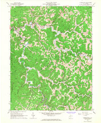
 1981 Sutton1982 Print · USGSCentral West Virginia's mountain ridges and river valleys are captured here during the early eighties, as Interstate 79 began to modernize the region. Trace old rail lines like the Western Maryland Railway or explore the terrain around Sutton Lake and Helvetia.
 - 2011 Map of Normantown, 2011 Print
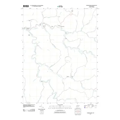 2011 Normantown2011 Print · USGSCovers Perkins, including Shock, Lockney, and other nearby areas
 - 2014 Map of Normantown, 2014 Print
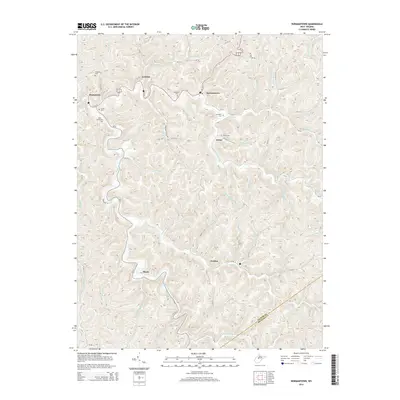 2014 Normantown2014 Print · USGSCovers Perkins, including Shock, Lockney, and other nearby areas
 - 2016 Map of Normantown, 2016 Print
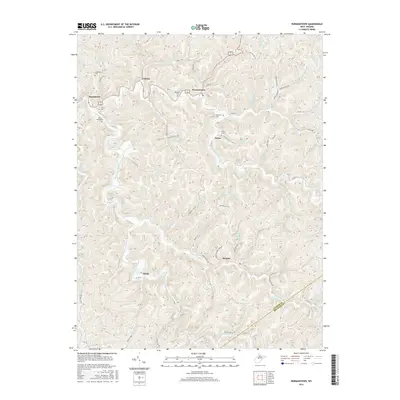 2016 Normantown2016 Print · USGSCovers Perkins, including Shock, Lockney, and other nearby areas
 - 2019 Map of Normantown, 2019 Print
 2019 Normantown2019 Print · USGSCovers Perkins, including Shock, Lockney, and other nearby areas
 - 2023 Map of Normantown, 2023 Print
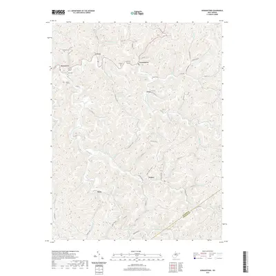
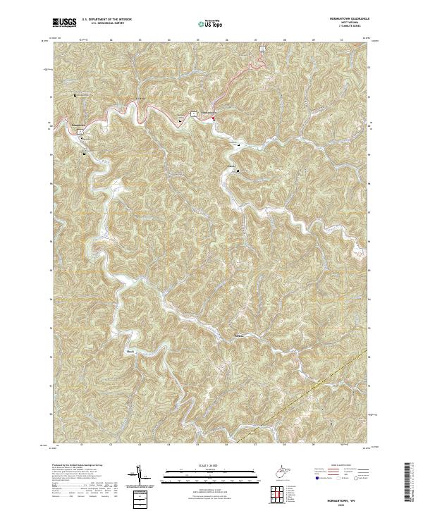 2023 Normantown2023 Print · USGSGilmer County at the turn of the 2020s remains a landscape of deep valleys and tightly clustered rural settlements. Genealogists can trace family burial sites like Elihu Stump Cem and Orton Cem tucked among the hills of Stumptown and Lockney.
End of results
Showing maps 1-15 of 15
Top cities near Perkins
- Glenville historical maps
- Sutton historical maps
- Gassaway historical maps
- Grantsville historical maps
- Sand Fork historical maps
Frequently asked questions
- What are the different types of historical maps available for Perkins?
- What is the oldest map of Perkins?
- Where can I purchase historical maps of Perkins for my home or office?
- Where can I download high-res historical maps of Perkins?
- Are there historical topographic maps available for Perkins?
- Is there historical aerial imagery available for Perkins?
- Where are historical maps of Perkins sourced from?