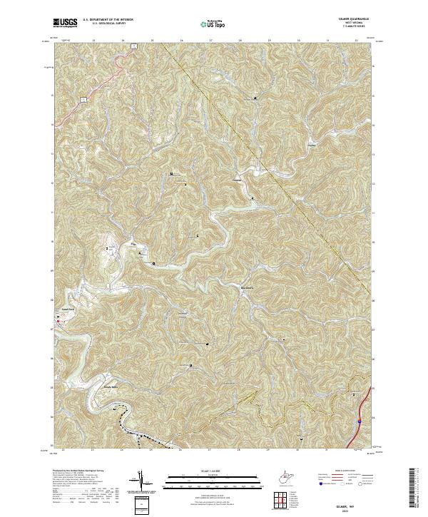
2023 Map of Normantown
USGS Topo · Published 2023About this map
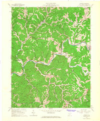
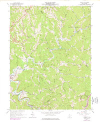
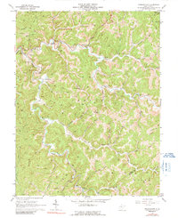
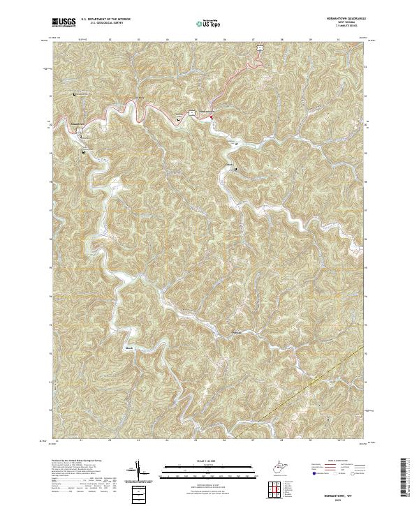
Steer Creek and its many winding tributaries define this portion of the West Virginia landscape near the border of Gilmer County and Braxton County. Small settlements and rural crossroads like Stumptown, Lockney, and Normantown are connected by a network of county routes that follow the valley floors. The map reveals a high density of small family and community burial grounds, including Snakeroot Cem, Elihu Stump Cem, and Mollahan Cem, providing significant data for genealogical research in these hollows.
Find a feature on this map
76 named features on this map. Tap any name to fly to it.
Don’t see what you’re looking for? This feature index may not catch every label — zoom into the map to look around manually.
Map Details
Editions of this 2023 Normantown Map
This is the sole edition of this map. No revisions or reprints were ever made.
Historical Maps of Perkins Through Time
6 maps found