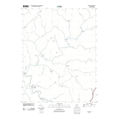
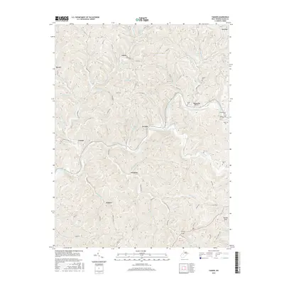
1966 Map of Gilmer
USGS Topo · Published 1977About this map
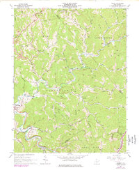
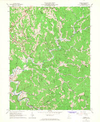
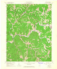
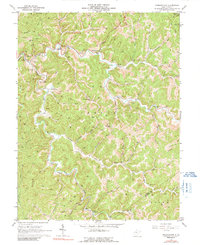
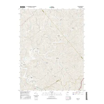
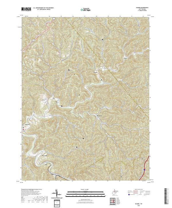
Little Kanawha River meanders across the southern portion of this landscape, defining the terrain around the settlement of Stouts Mills. The area is marked by a transition from traditional river-valley living to the industrial footprint of the mid-20th century, evidenced by the numerous gas and oil wells scattered across the hills. The Baltimore and Ohio railroad corridor tracks the riverbank, providing a vital connection for local resource extraction.
Find a feature on this map
72 named features on this map. Tap any name to fly to it.
Don’t see what you’re looking for? This feature index may not catch every label — zoom into the map to look around manually.
Map Details
Editions of this 1966 Gilmer Map
2 editions found
Historical Maps of Sand Fork Through Time
18 maps found
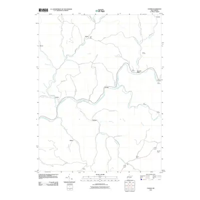
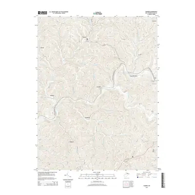
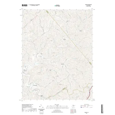
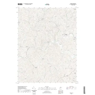
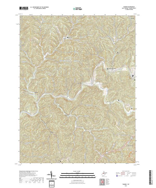
1965 Tanner
Gilmer County, WV
1966 Gilmer
Gilmer County, WV
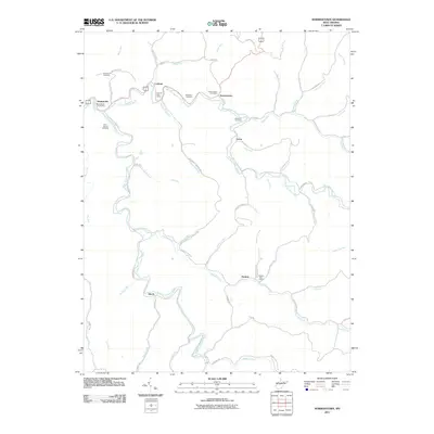
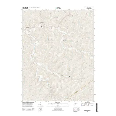
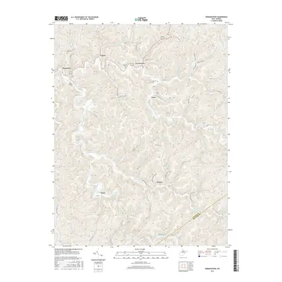
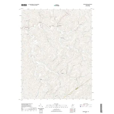
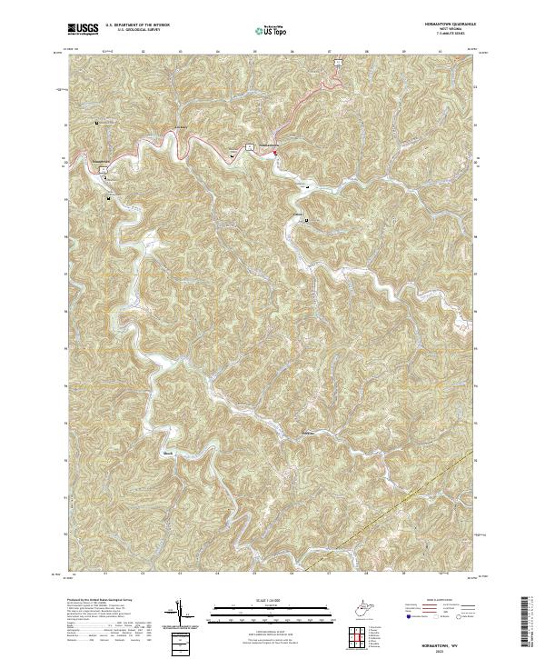
1966 Normantown
Gilmer County, WV
2010 Tanner
Gilmer County, WV
2011 Gilmer
Gilmer County, WV
2011 Normantown
Gilmer County, WV
2014 Gilmer
Gilmer County, WV
2014 Normantown
Gilmer County, WV
2014 Tanner
Gilmer County, WV
2016 Gilmer
Gilmer County, WV
2016 Normantown
Gilmer County, WV
2016 Tanner
Gilmer County, WV
2019 Gilmer
Gilmer County, WV
2019 Normantown
Gilmer County, WV
2019 Tanner
Gilmer County, WV
2023 Gilmer
Gilmer County, WV
2023 Normantown
Gilmer County, WV
2023 Tanner
Gilmer County, WV